Oxford, laid out in 1683, served as the first point of arrival in America for slave and trading ships arriving from transatlantic origins, and the knowledge, skills, and labor of Black Americans in Oxford established the region’s economic prosperity and cultural identity throughout the the seventeenth, eighteenth, and nineteenth centuries. Contemporary advocacy and education efforts preserve the rich heritage and important legacy of the region’s Black community, which came under threat of being forgotten as economic opportunities diminished and the older generation of Black residents began to pass away.
History
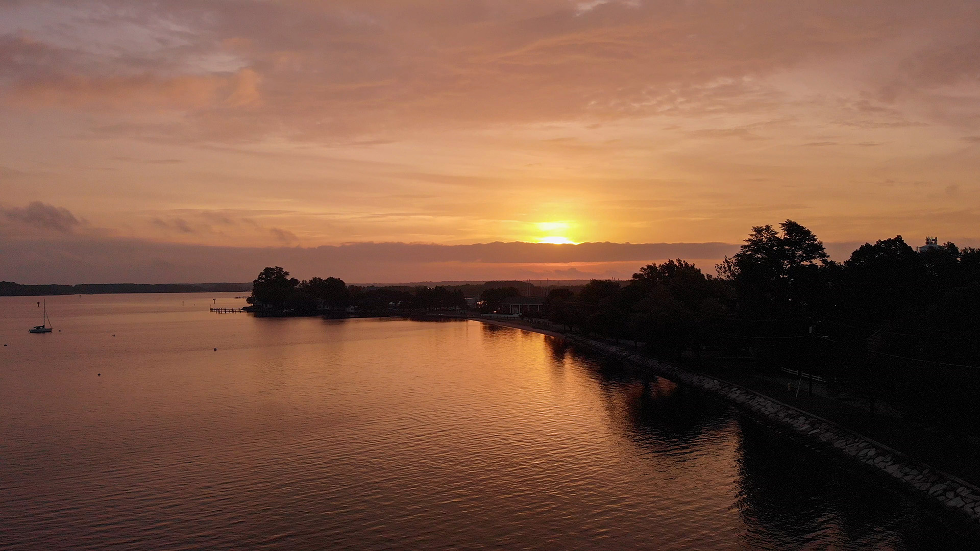
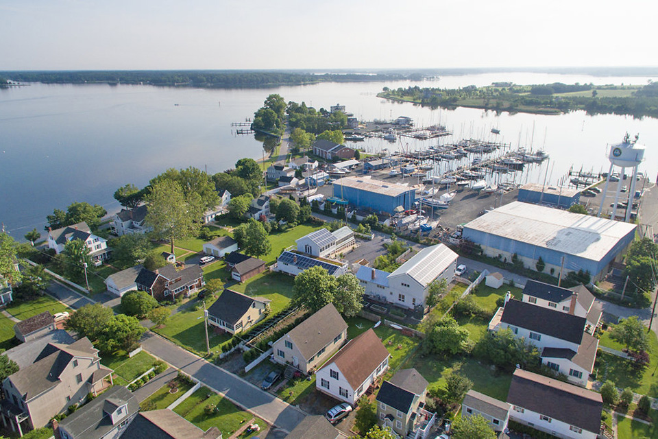
In the heart of Oxford, Maryland, the oldest port on the Eastern Shore of the Chesapeake Bay, lies the tract of land where many of America’s founding Black families—those enslaved peoples whose labor and talents built our country—first touched the ground after arriving via the Middle Passage. The earliest English settlers arrived in the 1630s, attracted by rich natural resources and the abundance of waterways to facilitate the movement of goods and people. Talbot County, established in 1662, is one of the oldest European settlements in the New World and has more than 600 miles of tidal shoreline, greater than any other county in the United States. The region’s fertile, loamy sand soil offered ideal conditions for tobacco farming, and a booming demand for slave labor subsequently developed in the late seventeenth and early eighteenth centuries. Oxford, laid out in 1683, served as an important Eastern Shore port of call, the first point of arrival in America for slave and trading ships arriving from distant transatlantic origins. From thriving villages in West Africa, people of color were brought to Maryland to plant, tend, and harvest tobacco. By 1755, Black enslaved people made up 40% of Maryland’s population. Fortified by robust resources and enslaved laborers, numerous maritime and trading industries including slave trading, tobacco farming, shipbuilding, and sailmaking, prospered in this coastal community.
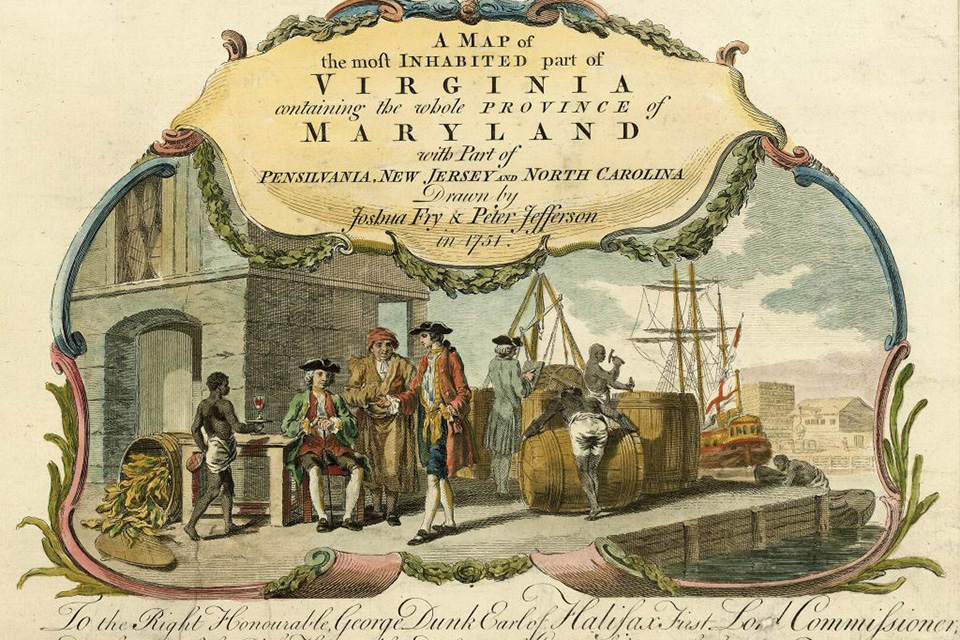 Detail of ‘a map of the most inhabited part of Virginia containing the whole province of Maryland with part of Pensilvania, New Jersey and North Carolina,’ by Jefferon, Fry, and Jeffrys, 1755. Photo courtesy Library of Congress
Although the slave trade and slave labor incontestably supported the economy of Talbot County in the eighteenth century, the region also had one of the highest percentages of free Blacks in the United States. Many of the region’s European settlers included Quakers, Puritans, and Irish and Scottish rebels who had fled persecution in their native nations and in many cases endured indentured servitude to gain passage to America. In Talbot County, their houses of worship fostered abolitionist ideals and supported free Blacks, many of whom remained in the region working as farmers, laborers, and craftsmen. Frederick Douglass, one of the most powerful social reformers and abolitionists of the nineteenth century, was born into slavery in Talbot County before escaping to freedom in New York.
After the Revolutionary War, the tobacco industry in the Eastern Shore stalled, though agriculture remained a dominant economic driver, along with maritime industries of shipbuilding and seafood harvesting and processing.
The Civil War deeply divided the region, with fighting men on both sides. After the War, many freed enslaved people settled a freedman’s community at Unionville in Talbot County. In the ensuing decades, free Black men and women, equipped with the skills and knowledge that had for generations enriched white plantation owners, were drawn to the Eastern Shore, finding work in the successful seafood packing houses or in farming. This workforce continuously kept the County’s economy supported, and elevated the worldwide reputation of Chesapeake seafood, establishing a vibrant regional culinary legacy.
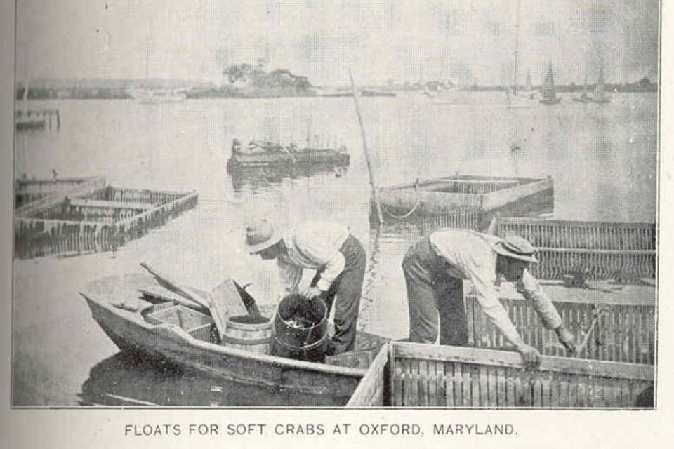 Oxford, MD crab floats, 1899. Photo courtesy University of Washington Freshwater & Marine Image Bank.
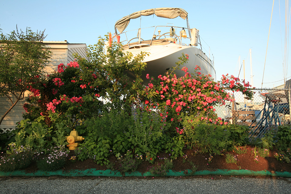
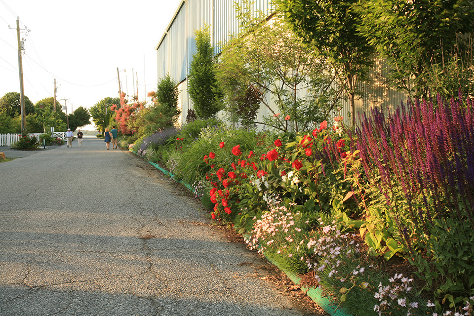
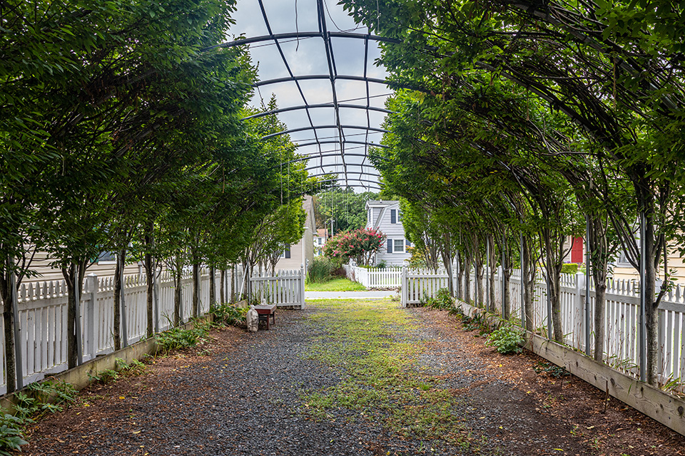
African American author and Morgan State University Professor Waters Edward Turpin, originally from Talbot County, published "These Low Grounds" in 1937 to shed light on the lack of equity among the early Black population on the Eastern Shore, including issues of environmental justice. The landscapes described in his writing feature innovative measures drawn from African American gardening and farming traditions which utilize native plants and materials. He writes of a "living silt fence," which can still be seen in Oxford. A long narrow berm of plants spanning more than 150 feet, the fence absorbs water from severe weather events to reduce the impact of flooding, helps to control erosion, and is an aesthetic asset for the community, featured in a popular walking tour in Oxford.
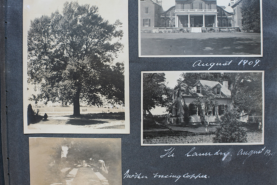 Talbot County, MD. Photo courtesy The Water’s Edge Museum.
At the dawn of the twentieth century, nearly half of Oxford residents were Black, most of whom lived with their families in segregated communities centered along Tilghman, Factory, Mill, Norton, Steward, Bank, and Market Streets. Black families owned their own shops, established churches, and sent their children to all-Black schools. By the end of the Second World War, Oxford had become more integrated, though this period of equitable economic prosperity was short lived. By the 1970s, most of the seafood packing factories had shuttered, diminishing economic opportunities. Many young Black residents departed Talbot County for larger metropolitan regions in search of work. As the older generation of Black residents in Oxford began to age and pass away, the rich heritage and important legacy of the region’s Black community came under threat of being forgotten.
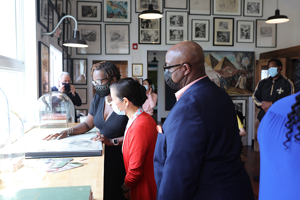
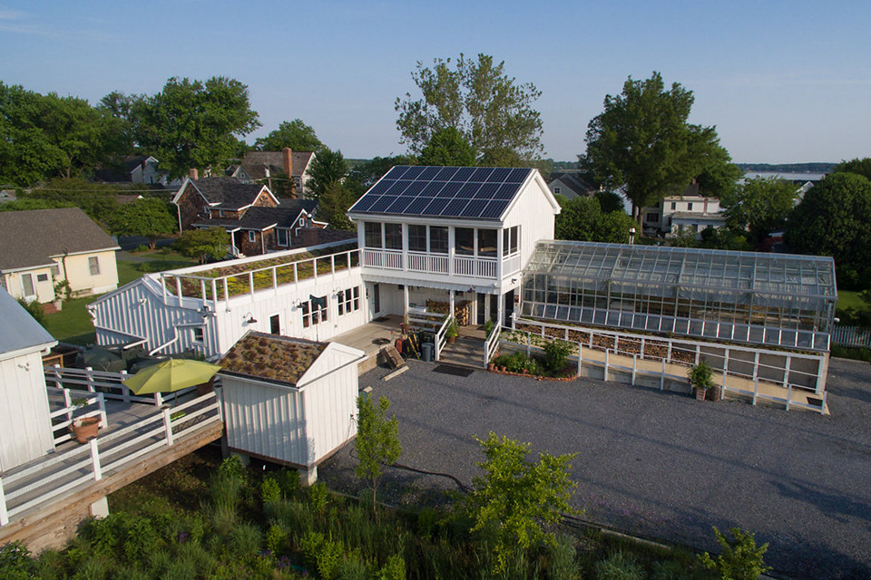
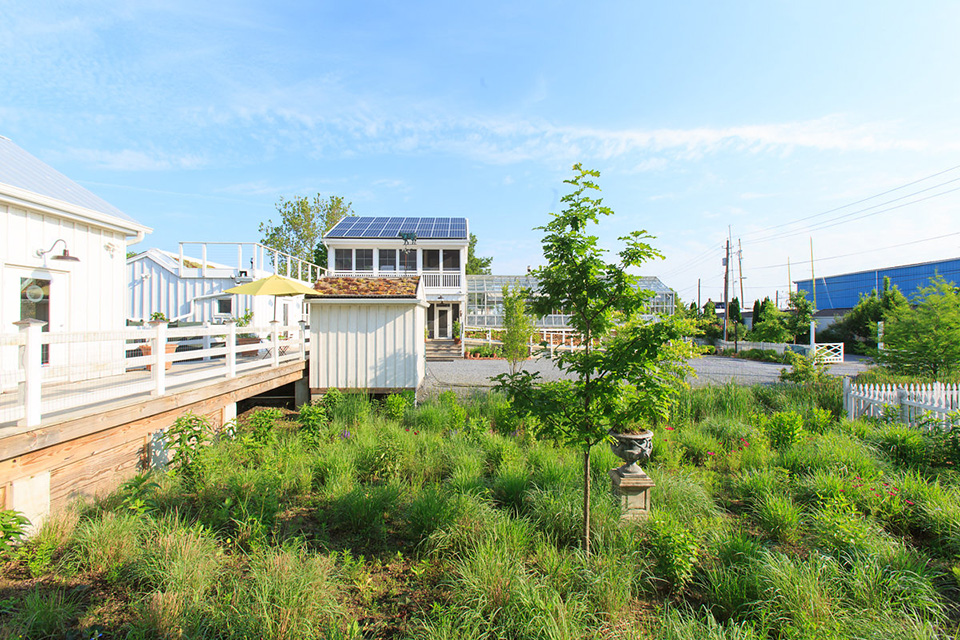
In 2021 the Water’s Edge Museum opened in Oxford, Maryland at 101 Mill Street in the heart of the town’s African American community. The museum’s building was adaptively renovated alongside its neighbor, 103 Mill Street, which now houses a sustainable architecture and landscape design research center. The buildings were conceived of as a campus promoting green building and landscape design practices. Throughout the surrounding property and continuing down the length of Mill Street, hundreds of native drought-resistant perennials, trees, shrubs, and vines were planted to form an erosion barrier and absorb stormwater runoff, a “living silt fence” emulating that which Professor Turpin observed in the 1930s.
 The Water’s Edge Museum, 2021. Photo by Barrett Doherty.
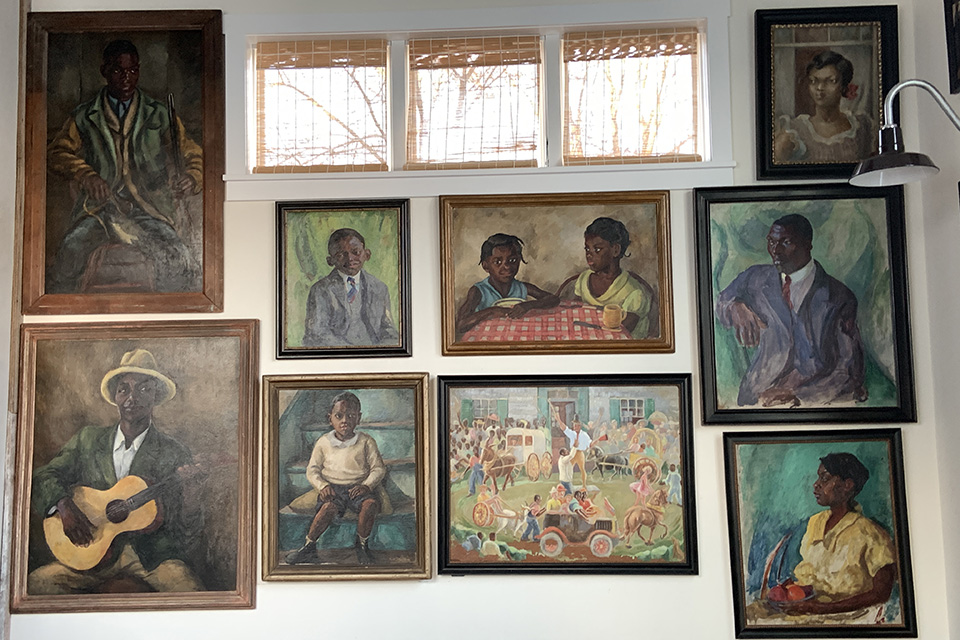
Founded by anthropologist Dr. Barbara Paca, the museum houses a growing collection of historic records, paintings, lithographs, drawings, and writings that provide a thorough documentation and celebration of Black life in the Eastern Shore region. The museum invites visitors to engage with stories of the Black farmers, sailmakers, fishermen, industrial workers, military leaders, and musicians who developed and influenced so much of the region’s culture and commerce for centuries. It is at the Water's Edge where one witnesses how people of color on the Eastern Shore lived and how their lives mattered.
Threat
Sea level rise and increased incidents of severe weather events are threatening to destroy most of the African American history in the Eastern Shore region. From this stance, one can view the entire Eastern Shore of the Chesapeake Bay as an Environmental Justice zone. The effects of climate change pose an incontestable threat to not only the physical resources and livelihood of the area and its inhabitants, but also the intangible cultural resources of the Eastern Shore. As of now, there is no map indicating African American settlements, monuments, and networks from enslavement to freedom on the Chesapeake Bay. Without such a map, it is impossible to calculate how much history is imperiled due to sea level rise and other factors of climate change. In July 2021, the Water’s Edge Museum partnered with the University of Maryland’s Center for Environmental Science to gather information supporting a comprehensive map.
What You Can Do to Help
Visit or Volunteer with the Water’s Edge Museum in Oxford, Maryland.
101 Mill Street, Oxford, MD 21654
E: watersedgemuseum@gmail.com
Write to the Commissioners of Oxford and encourage public signage about the legacy of the Middle Passage and Founding Black Families of Talbot County.
Town of Oxford
PO Box 339, 101 Market Street, Oxford, MD 21654-0339
Donate to the Water’s Edge Museum to support their growing collection and programming. Please send donations care of:
The Mid-Shore Community Foundation, DBA The Water’s Edge Museum
Tax ID # 52-1782373
DUNS 604489000
102 East Dover Street, Easton, MD 21601
Donate to the University of Maryland’s Center for Environmental Science. As of December 2021, there is no designated way to support their project to create a comprehensive map of the Chesapeake Bay’s cultural landscape. Consider getting in touch to support their participation in this initiative and request updates on ways to specifically fund it.
University of Maryland Center for Environmental Science
P.O. Box 38
146 Williams Street, Solomons, MD 20688
Phone: (410) 326-4281
E: https://www.umces.edu/contact-us
Learn More about the slave trade on the United States’ Eastern seaboard through resources provided by the UNESCO Slave Route Project, the University of Maryland Library, and the National Park Service. Seek out opportunities to conduct further research, site visits, interviews, and conversations to explore the history of the slave trade in your own region.