


Twin Cities
WHAT'S OUT THERE® CULTURAL LANDSCAPES GUIDE
The What’s Out There Twin Cities guide from The Cultural Landscape Foundation derives from our profusely illustrated and extensively researched What’s Out There database of significant landscapes, collected by geographic region, coupled with maps and overarching historical narratives.
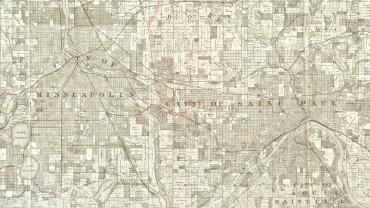
The Twin Cities’ unique landscape legacy includes celebrated park systems, cultural and academic campuses, and sacred sites built by ancestors of the Dakota, Sioux, and Shakopee, and Prairie Island peoples.

Explore the Twin Cities’ diverse landscape legacy through concise, informative, and richly illustrated essays of dozens of sites, and an interactive map.

Read the profiles of more than thirty designers and visionaries whose work has shaped the region since its founding.

