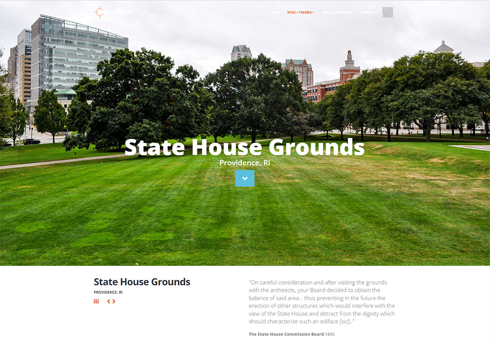
Overlooking downtown Providence from a terraced plateau, the historic Rhode Island State House and its park-like grounds occupy an elevated site on Smith Hill. The site was officially selected in 1894, primarily because any building there “could be readily seen from all parts of the city.” Land in the area was relatively cheap at the time, as Smith Hill was separated from the downtown area by railroad tracks and railyards. Throughout the nineteenth century it had been part of a predominantly African American neighborhood called Snowtown; by the late 1880s the neighborhood’s residents had been displaced. The initial six acres of what would become a sixteen-acre site were acquired in 1895. Having won a competition to design the State House, McKim, Mead & White, one of the nation’s leading firms, was awarded the contract, and construction of the Beaux-Arts building began later that same year.
Background
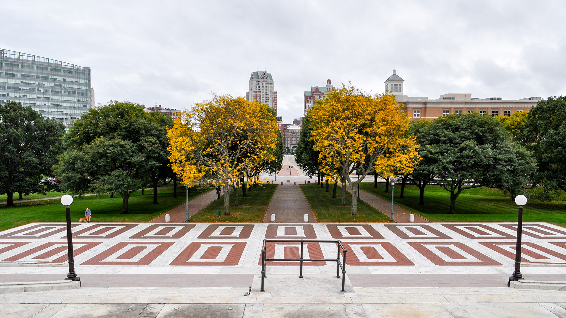
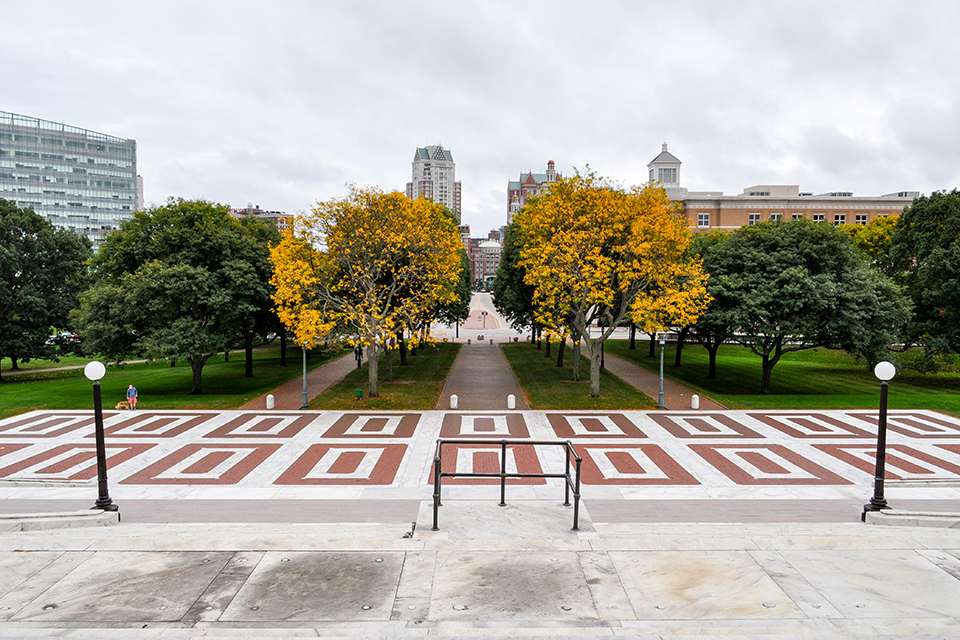
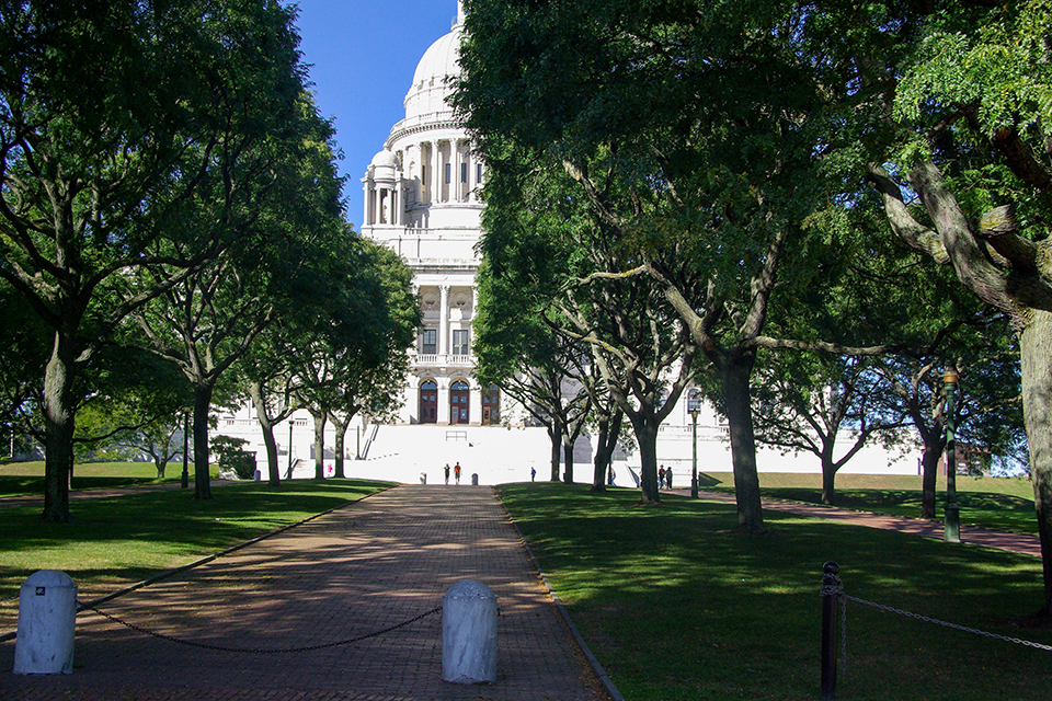
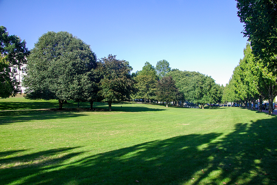
Landscape architecture firm Manning Brothers of Boston, run by well-known landscape architect Warren H. Manning (a protégé of Frederick Law Olmsted, Sr.) and his brother, Woodward, designed the State House grounds, completed in 1904. Enhancing its monumentality, the building sits atop a terraced earthen platform bounded by Francis and Gaspee Streets. At the building’s north and south entrances, rectangular paved areas of red brick and white marble enhance its axial symmetry. The southern rectangle borders three parallel rows of brick pathways aligned with the building’s entrance, framed by allées of trees, likely added in the 1960s. The Rhode Island State House was listed in the National Register of Historic Places in 1970.
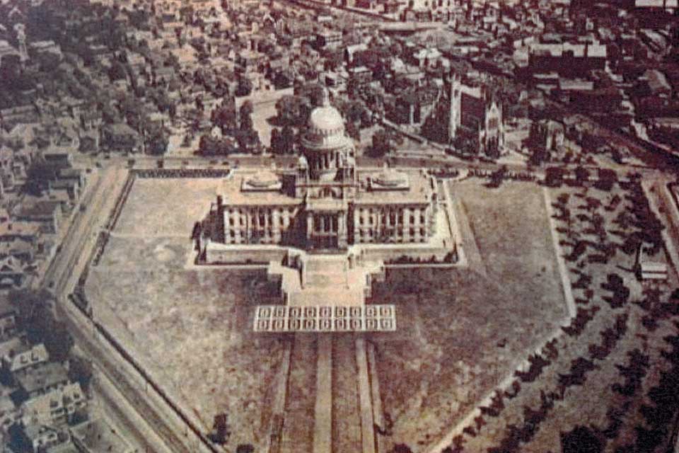 Aerial photograph of the State House grounds, looking north, Providence, R.I., Circa 1920. Image courtesy of Providence Public Library.
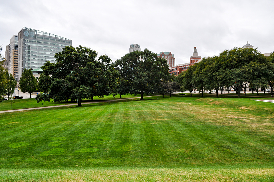
The landscape has undergone several modifications since the 1930s, including an expansion of the parking lot adjacent to the building’s northeast corner. The most radical changes to the landscape came in 1986 when a train station, replacing one located farther south, was built on the southeastern border of the State House lawn. The railroad tracks were shifted, Gaspee Street was realigned, and the southern stretch of Francis Street was straightened to create an axial approach to the State House’s southern façade. Three-quarters of an acre were ceded from the State House lawn in the process. To mitigate the loss of acreage, State House Park, just west of the new train station, was added. In 1992 an executive order by then-Governor Bruce Sundlun established a non-profit organization, The Rhode Island State House Restoration Committee, to support the “restoration, preservation, interpretation, betterment and benefit of the Rhode Island State House.”
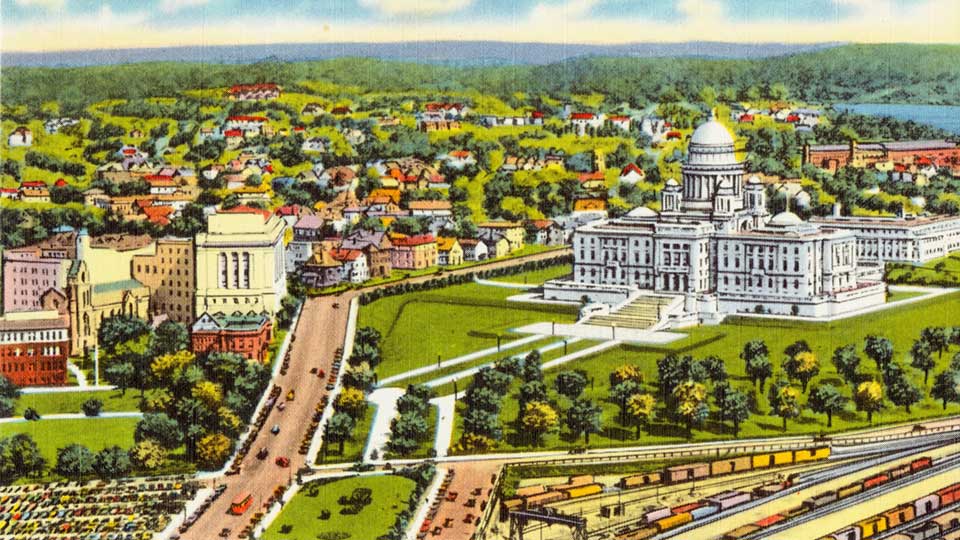 Post Card depicting “Bird's-eye View from Industrial Trust Building,” Providence, R.I. Image by Tichnor Brothers, courtesy Wikimedia Commons.
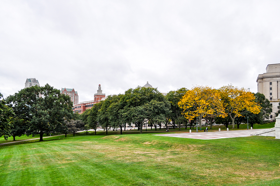
On June 23, 2017, the Rhode Island Department of Transportation (RIDOT) issued a “request for qualifications” (RFQ) for a proposed Providence Intermodal Transportation Center, a public-private partnership to include a transit hub and commercial buildings near the Providence Amtrak station. The plan proposed a new multi-story transit hub to be constructed on the eastern swath of the State House lawn and, possibly, also on the northwestern corner of State House Park. Although the 2017 development proposal could be traced back to the approval of a $25 million bond issue for a new transit hub in 2014, the location of the proposed hub was not specified at the time. Three years later, RIDOT was poised to site the multifaceted development project within a beloved public space.
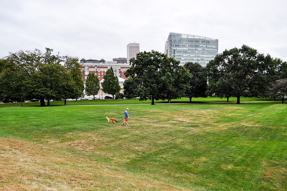
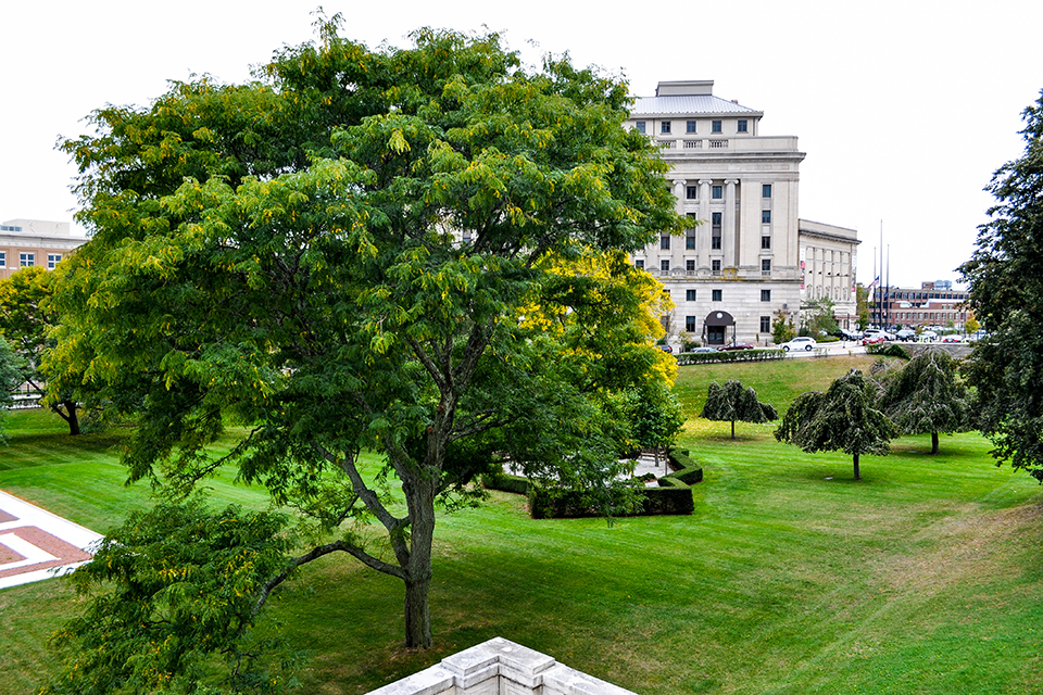
Rhode Island State House Grounds, Providence, R.I., 2017. Photo by Kaity Ryan, courtesy The Cultural Landscape Foundation.
Advocacy and Engagement
Later that year, TCLF enrolled the State House Grounds in the 2017 Landslide thematic report and digital exhibition, Open Season on Open Space, which focused on nationally significant cultural landscapes threatened by confiscation, development, energy and resource extraction, and other incompatible uses. The Landslide report and exhibition were highlighted in an editorial in The Providence Journal, as well as in an article written by Brent Runyon of the Providence Preservation Society, who urged the state to “find a solution that preserves the open space that has been entrusted to the citizens of Rhode Island through legal agreements, written plans and moral principles.”
 Screen capture from Landslide 2017: Open Season on Open Space, Image courtesy The Cultural Landscape Foundation.
RIDOT’s plan was subject to approval by the Capital Center Commission, but approving it would have required a change in the Commission’s regulations, and, in turn, an endorsement by the State Historic Preservation Commission (and possibly multiple federal transportation agencies). The Commission’s regulations govern the design of every parcel in the Capital Center District, including the historic lawn and the 3.6-acre State House Park that were eyed for development. According to the regulations, “The State House Lawn provides a grand and appropriate and magnificent setting for the architecturally significant State House building. The significance of this area should be preserved and maintained.” The regulations also defined and protected the district’s primary view corridors, which “provide strong visual linkages among important public monuments,” some of which would clearly be adversely affected by the proposed project. Adding to the significance of the site is its history as an African American neighborhood, which, although no longer visible, is currently being uncovered through archaeological excavations. The Snowtown Project is generating awareness of this period of the site’s past, including a deadly white supremacist mob attack in 1831 that took lives and destroyed 18 buildings.
On June 22, 2017, State Representative Joseph Solomon introduced a bill in the Rhode Island House of Representatives to prohibit construction “on land that is contiguous to and outside the Rhode Island State House” without first gaining approval from the General Assembly. The bill passed the House unanimously but was not put to a vote in the Senate. TCLF urged its supporters to contact Governor Gina Raimondo to encourage her to abandon any plans to build on the historic grounds. In January 2019 State Senator Walter S. Felag submitted a bill to the State Senate prohibiting development of land contiguous to the State House; to date there has been no action on the proposed legislation, a subject that is being monitored by the members of the Rhode Island State House Restoration Committee.
Looking ahead, TCLF is pleased to see a recognition of the site’s historic design intent and hopes that in the future the Rhode Island State House Restoration Committee places the same stewardship value on the site’s historically significant landscape architecture that it assigns to the building architecture.
Selected Media Coverage
“Editorial: Protecting a civic landmark,” The Providence Journal “Not Gone. Yet. Landslide 2017’s Theme is Open Season on Open Space,” Katarina Katsma, Landscape Architecture Magazine, December 8, 2017 “The Cultural Landscape Foundation announces threatened landscapes of 2017,” Olivia Martin, The Architect’s Newspaper, October 13, 2017
-
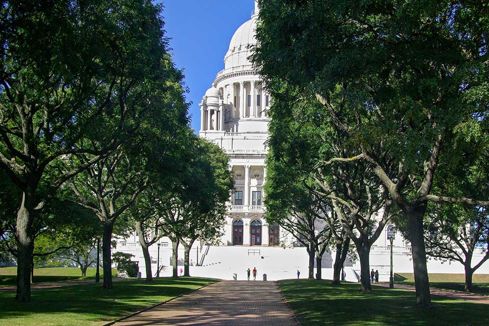
Rhode Island State House Grounds, Providence, RI, 2017. Photo by Kaity Ryan.