
Landscape Information
Founded in 1866 following the end of the Civil War, this historic African American neighborhood is situated on 921 acres three miles north of downtown Mobile along the west bank of the Mobile River, intersected by the Cochrane Africatown Bridge. Africatown was created by 32 of the 110 African men, women, and children brought to the United States from West Africa on the Clotilda in 1860, more than five decades after the abolishment of international slave trade. Following their emancipation they began purchasing land on the outskirts of Mobile, forming a self-governed community where they could retain their West African heritage. Estimated at one point to be 2,000 acres, Africatown was gradually diminished in the twentieth century by the establishment of industrial plants and highway systems, including the Bay Bridge Road that cuts horizontally through the community.
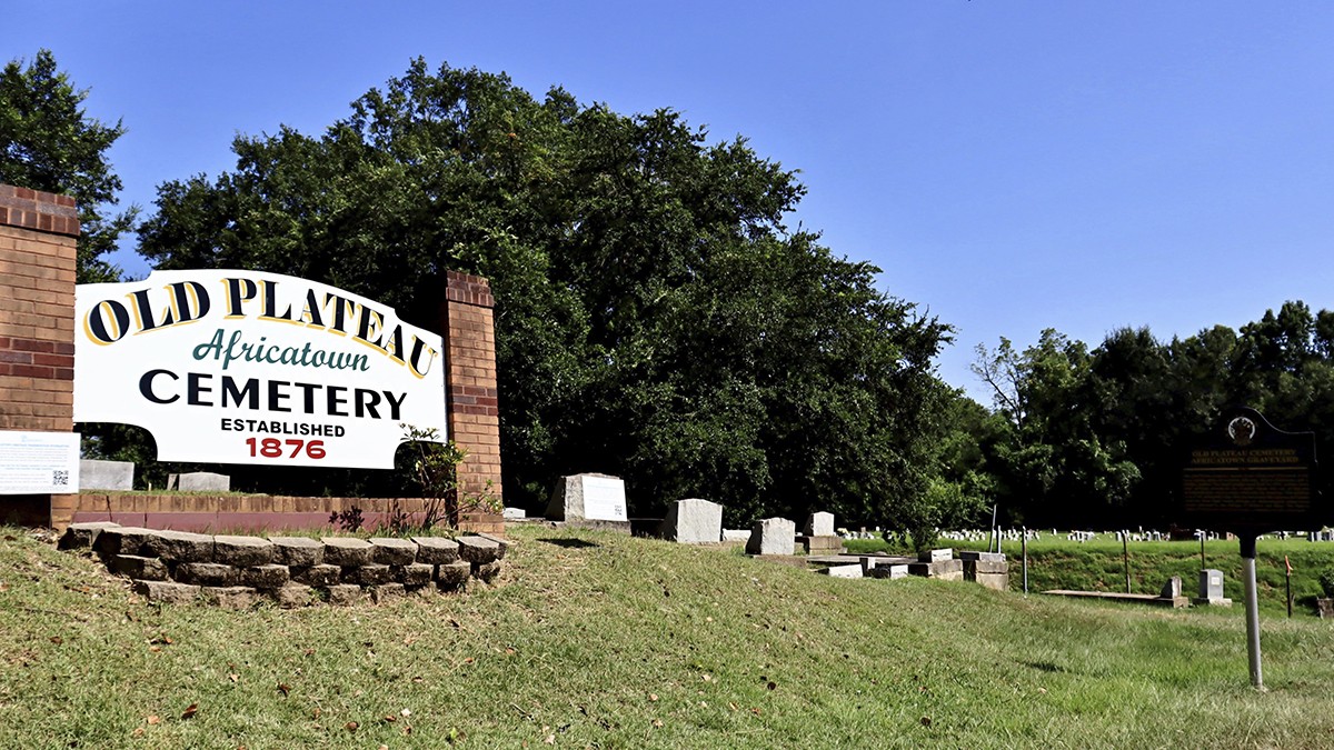
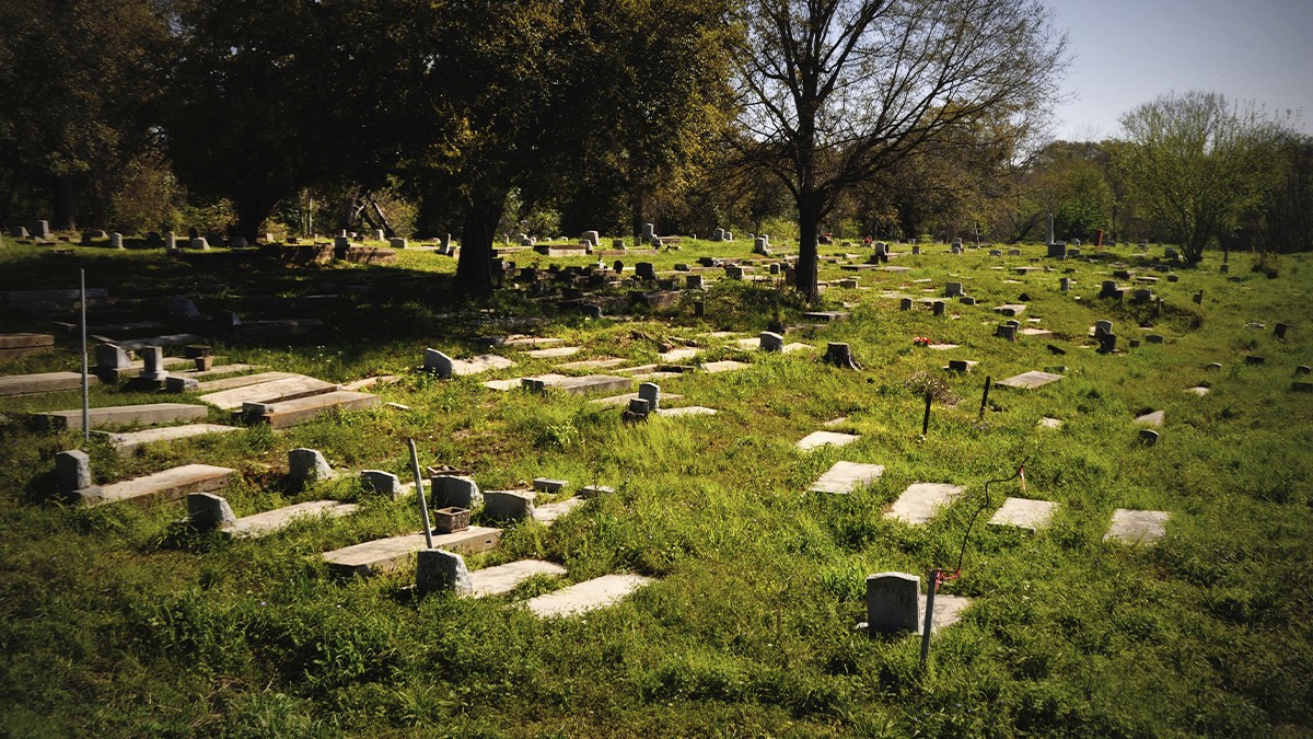
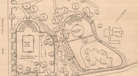
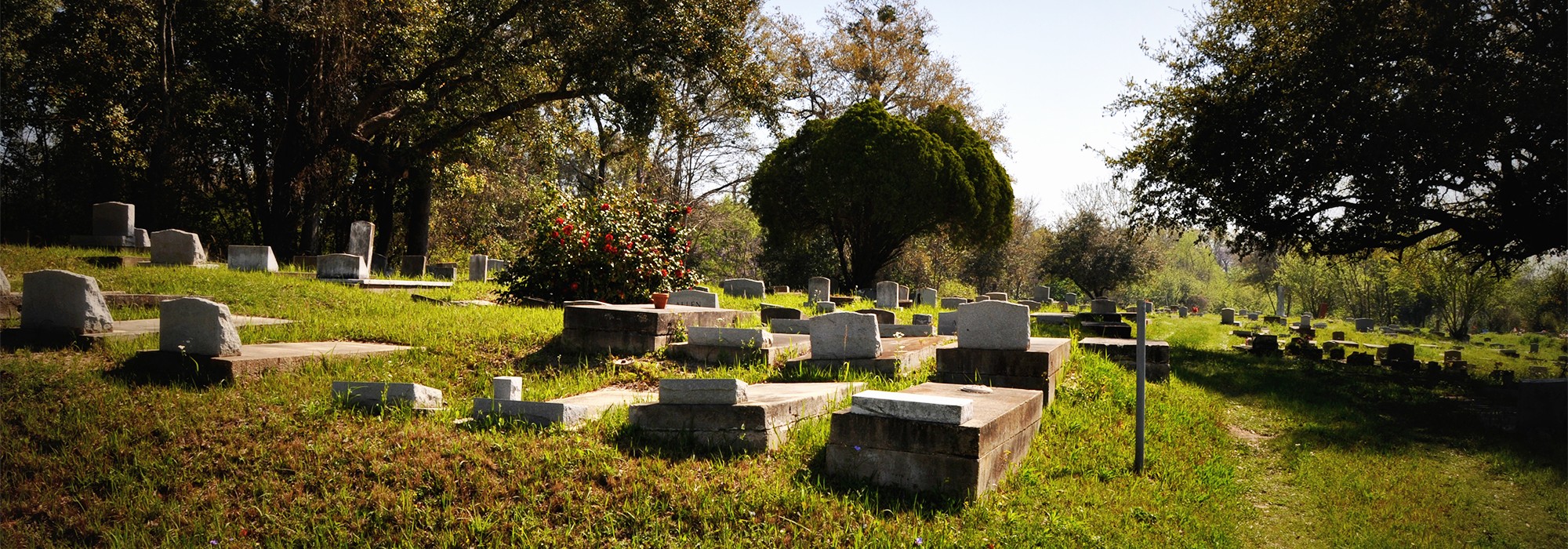
Africatown is characterized by uneven terrain, grassy lawns, and an abundance of deciduous oak and pine trees. The southern section of the district, developed from 1866-1900, features winding roads and irregularly shaped lots, while the northern section, developed from 1900-1945, follows a grid pattern. Modest, Victorian and Craftsman one-story wood-frame homes built primarily in the early-to-mid twentieth century are set back from the street with informally landscaped front yards. The two-acre Old Plateau Cemetery (1876), situated on a small rise south of Bay Bridge Road, contains approximately 1,699 burials. It is entered from the west through a gated, metal fence and bounded to the north, east, and south by trees. John Kidd Park (1968) on East Street provides a community playground and pool, while the Reverend Robert Hope Community Center on Edwards Street features several athletic fields.
The Africatown Historic District was established and listed in the National Register of Historic Places in 2012.