Landscape Information
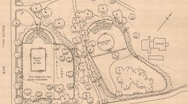
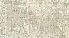
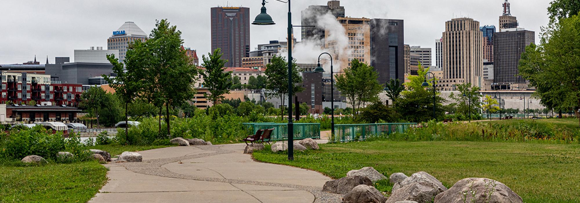
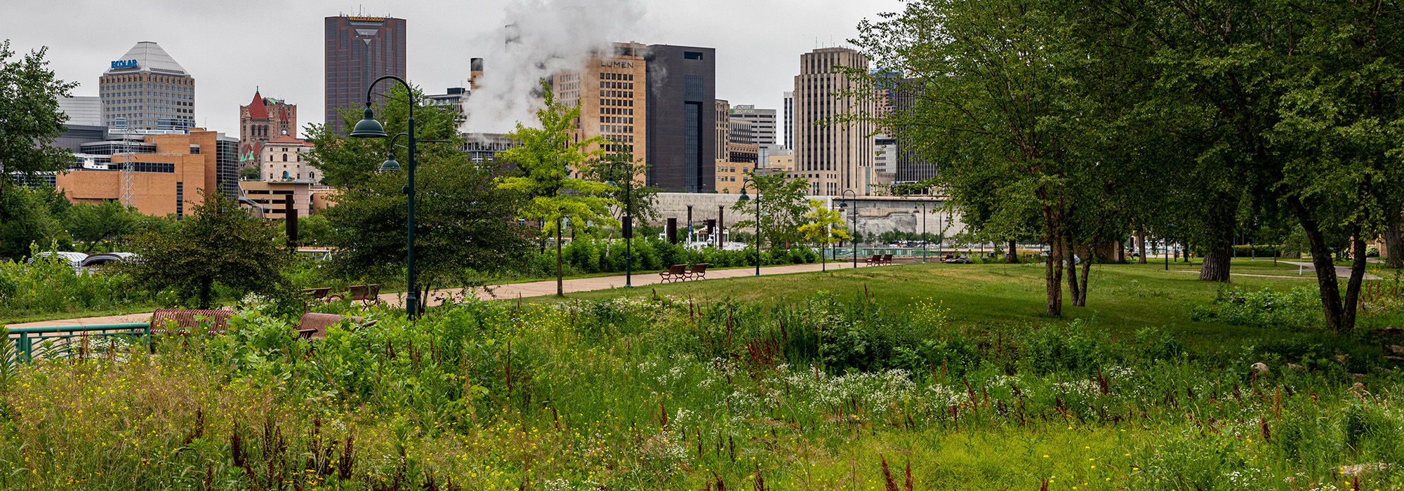
Sited in the Mississippi River’s floodplain, immediately below the limestone bluffs that form the river gorge on a former channel of the river, this nearly 68-acre regional park is directly across from downtown St. Paul. Its simple design dedicates its central grassy open space to serving as an entrance, with walking and biking paths that radiate uniformly outward to a series of steps leading to the water’s edge. Small groves of native oaks remain on the periphery of this larger space.
The land was purchased by local physician Dr. Justus Ohage, the city's Commissioner of Health, who donated the land in 1900 to provide a place for residents without access to private clubs and gardens to enjoy fresh air along the water. It became a popular picnicking and recreation destination with beaches, playgrounds, and a zoo. Named for the city’s first public school teacher, Harriet Bishop, it was in constant use during first decades of the century, until the Great Depression cut park funding, resulting in deferred maintenance and diminished stewardship.
In 1940 the WPA/PWA provided funds to build a pavilion designed by Clarence “Cap” Wigington, the city's first African American City Architect. The pavilion was listed in the National Register of Historic Places in 1992 and renamed the Wigington Pavilion. The park was extended further east along the river and is now accessible by road or walking path. Paddleboats, a marina, and a public pier offer waterfront connectivity while trail links provide access to Lilydale Regional Park. The park is part of the Mississippi National River and Recreation Area.