Landscape Information
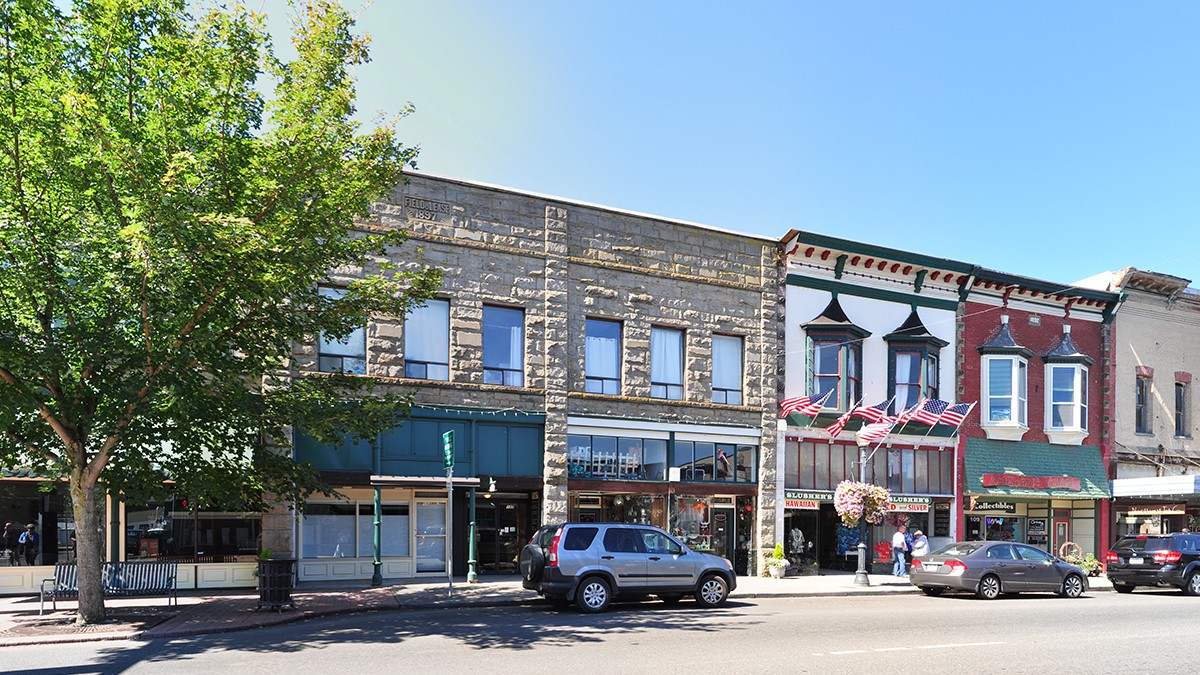
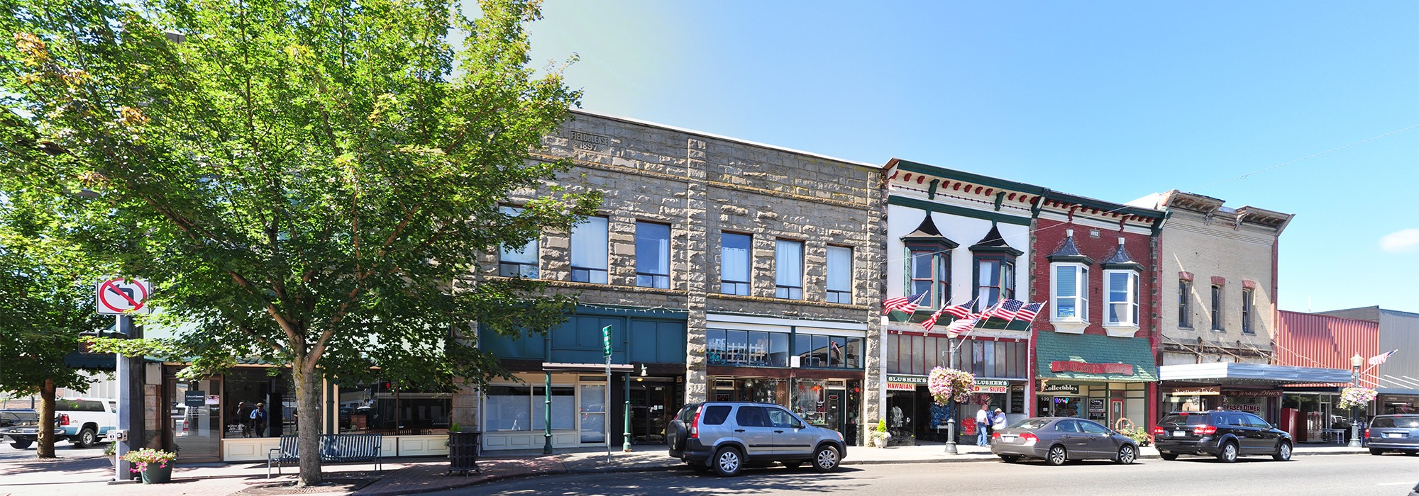
Located roughly one mile east of the confluence of the Skookumchuck and Chehalis Rivers, this flat, rectilinear district was originally platted by George and Mary Jane Washington in 1875. Measuring 25 acres including the city’s center and its environs, the area incorporates approximately fifteen square blocks.
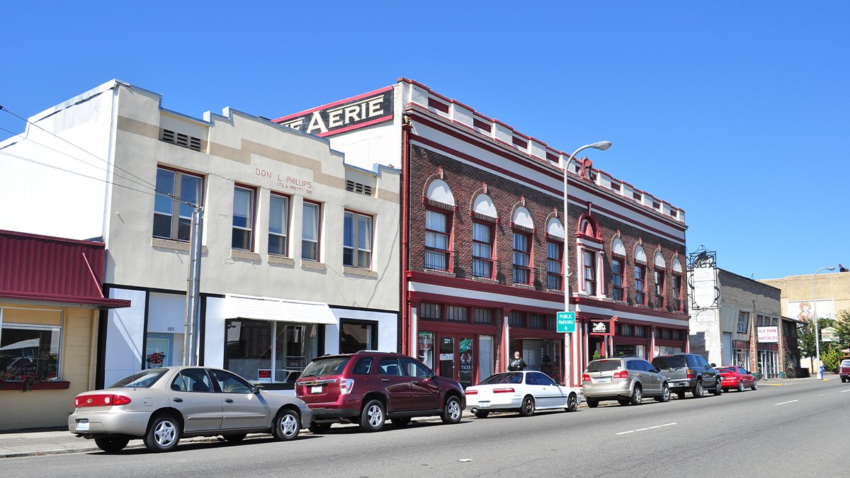
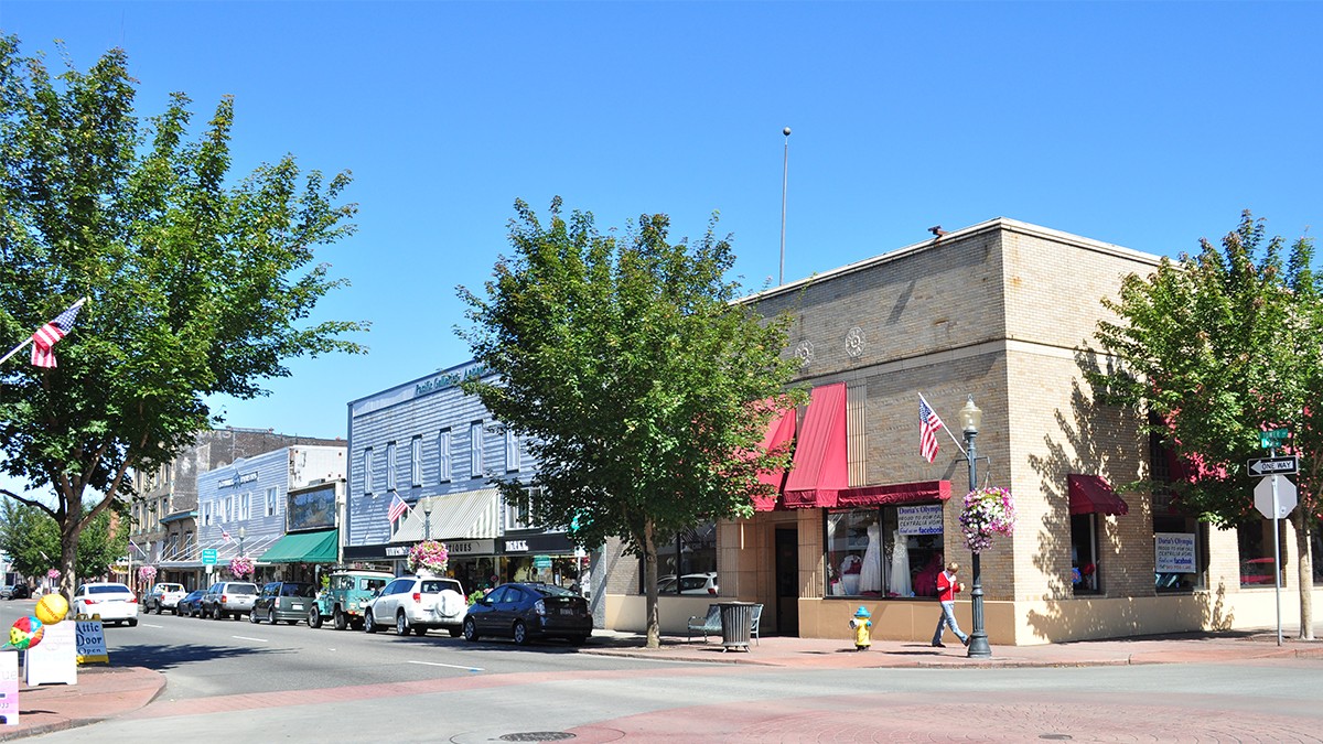
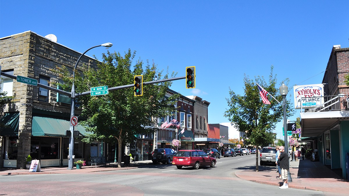
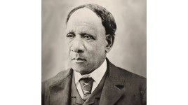
Washington, the son of an enslaved African American man, moved to the Oregon Territory in 1850, where he eventually acquired more than 600 acres and married Mary Jane née Cooness (or Cornie). The two expanded the community in 1881 and donated land for a Baptist church and cemetery, and two acres for a public square (now George Washington Park). In 1883 the community was renamed and in 1889, the year Washington gained statehood, it was incorporated as a city. Bolstered by its proximity to the Northern Pacific Railway and by local logging, mining, and agricultural industries, the city thrived by the early twentieth century. The historic district of one-to two-story turn-of-the-century commercial structures has since been enhanced with tree boxes planted with canopy and flowering trees.
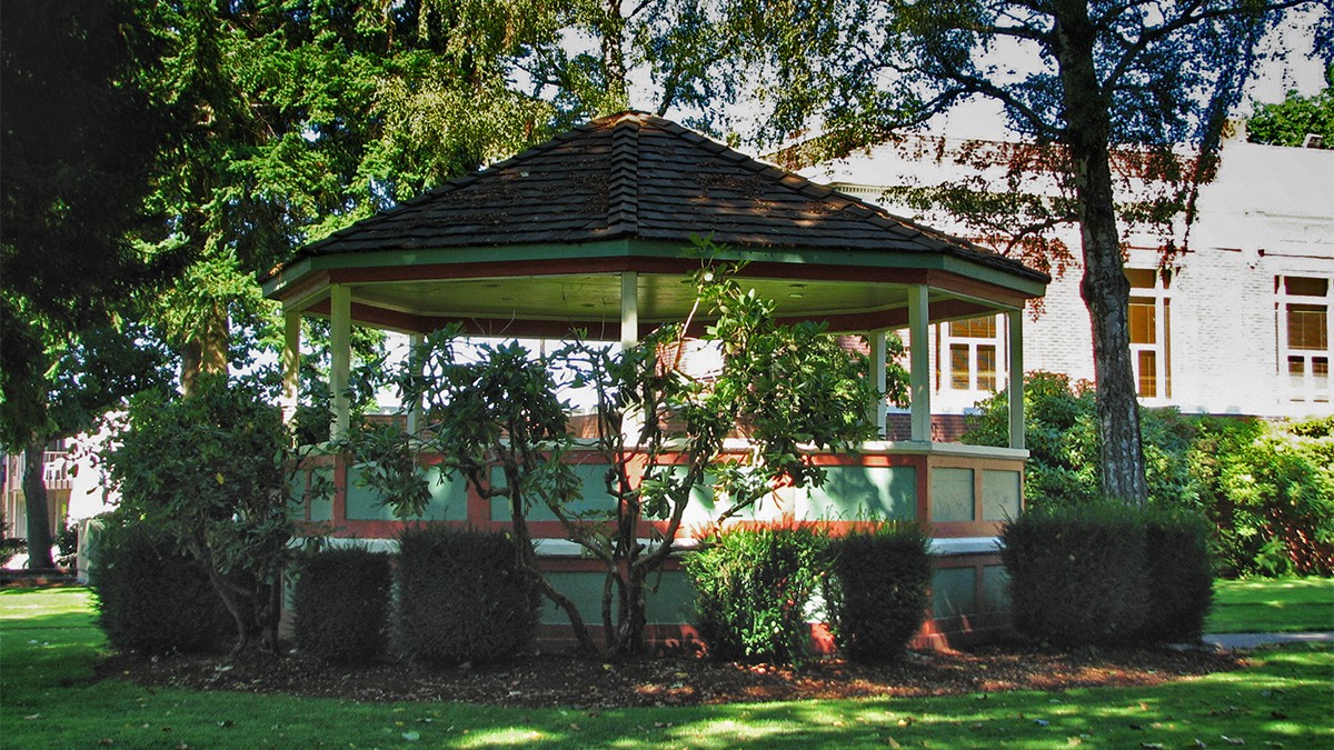
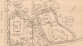
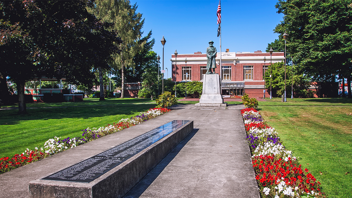
Occupying a level square block in the district’s southwestern section, and laid out in a Beaux Arts style, George Washington Park is framed with a perimeter sidewalk and includes a library (1913) and bandstand (1922). The Romanesque style library is fronted by a brick plaza that extends east to the center of the park, marked by a flagpole. Linear paths radiate outward from the plaza, and frame lawn panels interspersed with informal plantings of coniferous and deciduous trees, including maple and oak. The widest path is oriented on axis with the library’s eastern façade and contains a bronze statue, “The Sentinel,” dedicated in 1924 to commemorate victims of the 1919 Centralia massacre. In 2003 the historic district was listed in the National Register of Historic Places.