
Landscape Information
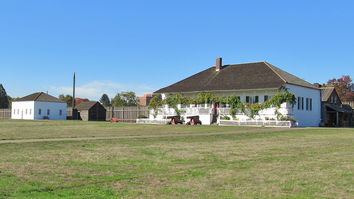
This 208-acre site, situated on a broad terrace east of highway I-5 on the north shore of the Columbia River, marks the location of a fort established by the Hudson’s Bay Company (HBC) in 1829. The park includes reconstructed features that reflect HBC’s peak development in the mid-1840s.
In 1844 the fort provided refuge to a group led by George Bush, an African American settler. Beginning in 1849 the U.S. Army occupied a portion of the site, establishing buildings, roads, and a parade ground framed by officer’s residences. In 1860 the HBC abandoned the site and after the fort burned in 1866, the army laid out orthogonal roads and expanded the parade ground.
In 1908 a railway berm was established along the river forming a physical and visual barrier. Development continued, including the construction of the Spruce Mill (1917–1918), Pearson Airfield (1923–1941) a Civilian Conservation Corps camp (1936), and Highway 14 (1940–1945).
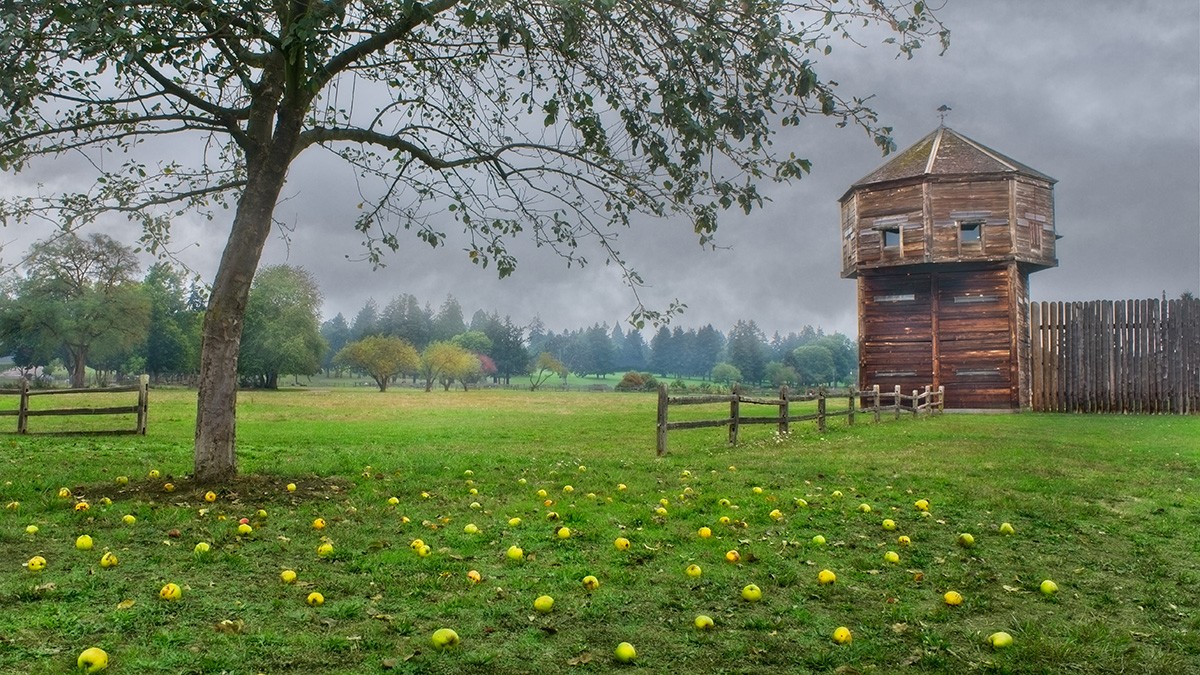
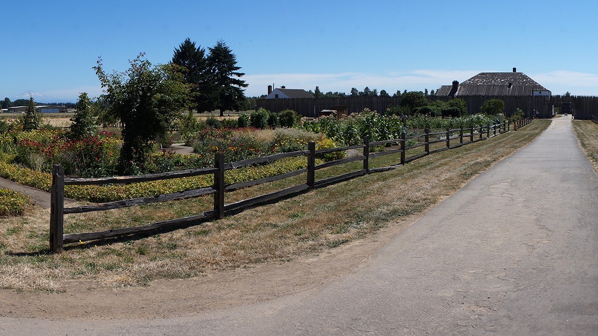
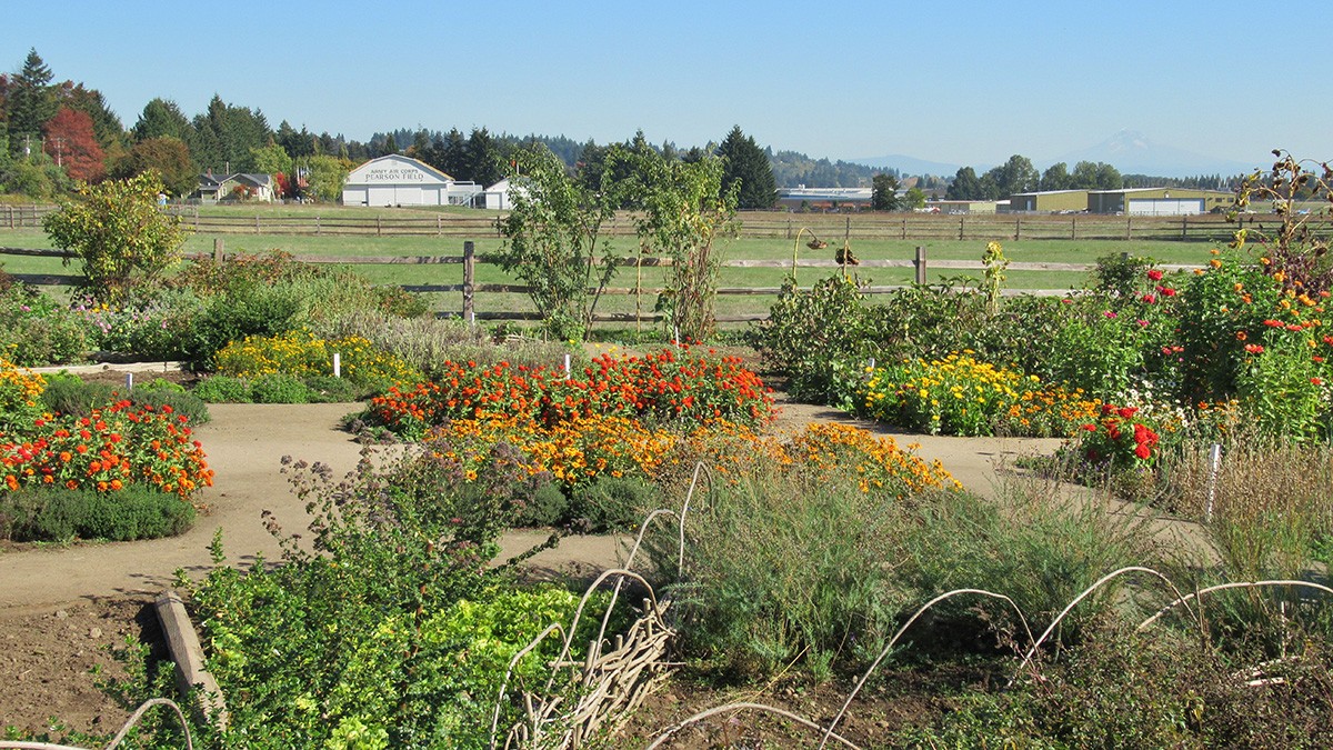
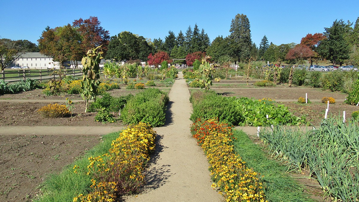
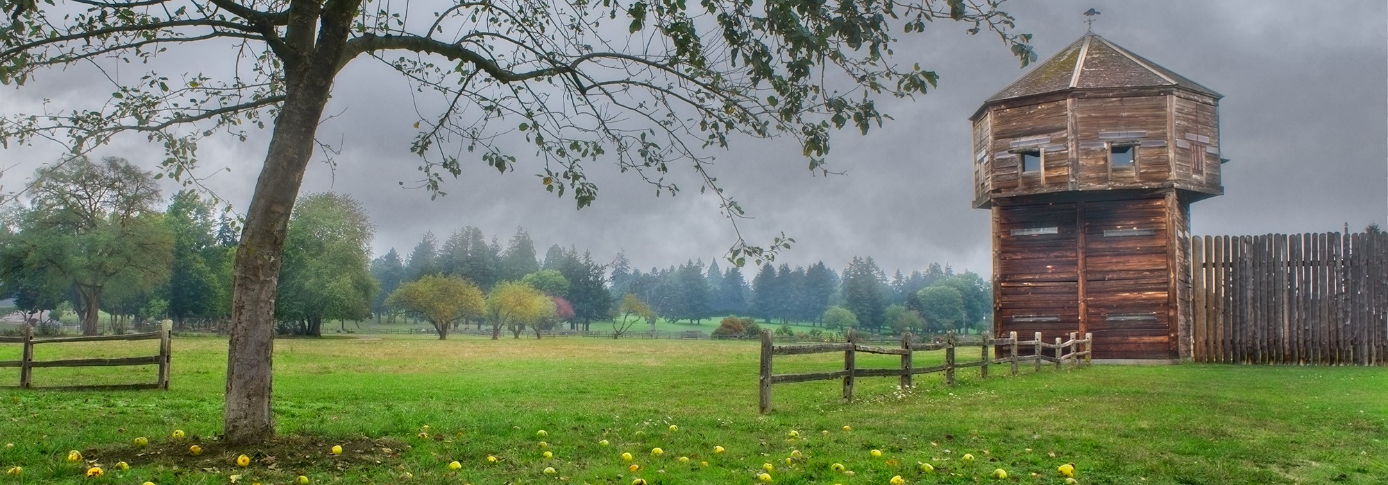
Today reconstructed features dominate the park’s central parcel. Characterized by flat expanses of lawn, this includes a rectilinear wood stockade fort (1966–1973); formal garden bisected by a central path; and an apple orchard (2003). At the parcel’s southwest corner, a linear path meets an arced, verdantly planted overpass, the Vancouver Land Bridge (2008). The bridge, designed by architect and landscape architect Johnpaul Jones and artist Maya Lin, connects the northern portion of the site with the waterfront.
In 1948 Congress designated the site a National Monument and in 1961 it was designated as a National Historic Site. In 1966 it was listed in the National Register of Historic Places and in 1996 was incorporated into the 366-acre Vancouver National Historic Reserve.