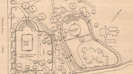
Set on a gently sloping hill east of Farewell Avenue, this one-and-a-half-acre wedge-shaped cemetery was established in 1705 at the northern end of the community’s Common Burying Ground (1665) for the interment of African Americans. Separated from the Common Burying Ground by a crushed stone curvilinear drive, Dyre Avenue, God’s Little Acre is edged to the north and east by Island Cemetery (1848) and to the west by Braman Cemetery (1898). God’s Little Acre contains 641 burial markers and holds the remains of more than 1,000 enslaved and free African Americans.
Used for interments until 1999, the majority of burials occurred between 1750-1780 and 1890-1920. By the late-twentieth century the burial ground suffered from deferred stewardship and became overgrown. In the 1990s advocates and organizations, including the Rhode Island Black Heritage Society and the Preservation Society of Newport County, began rehabilitation efforts, clearing the site and stabilizing burial markers.
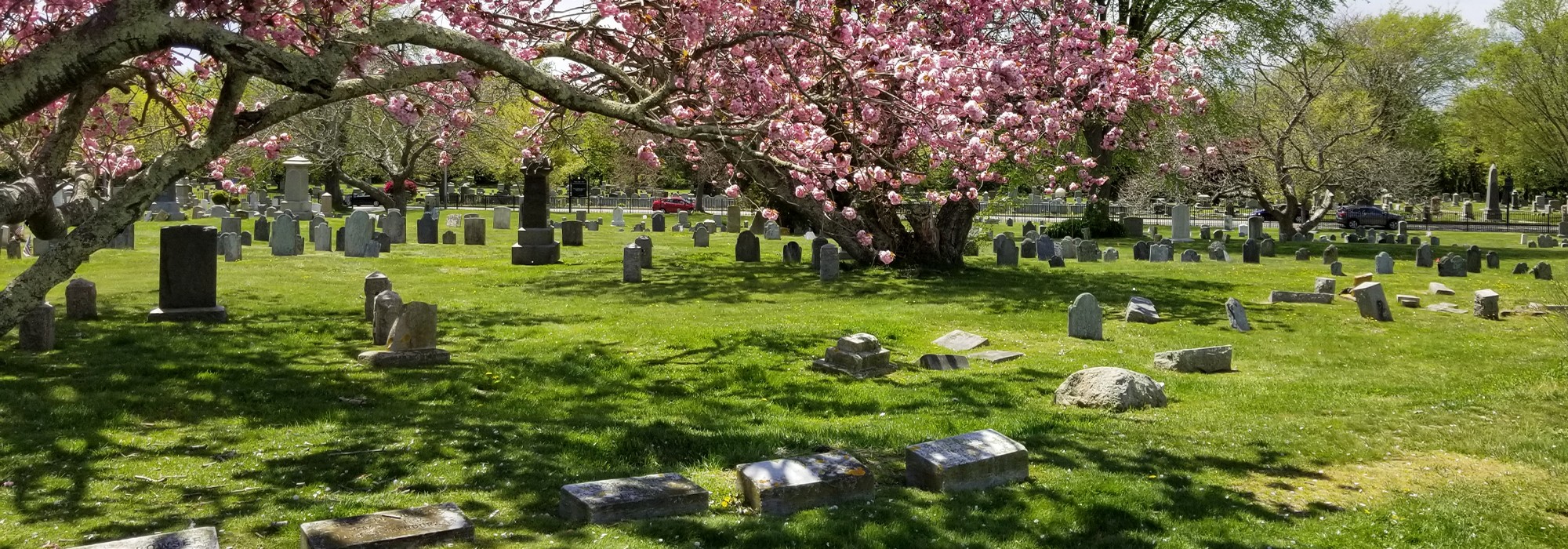
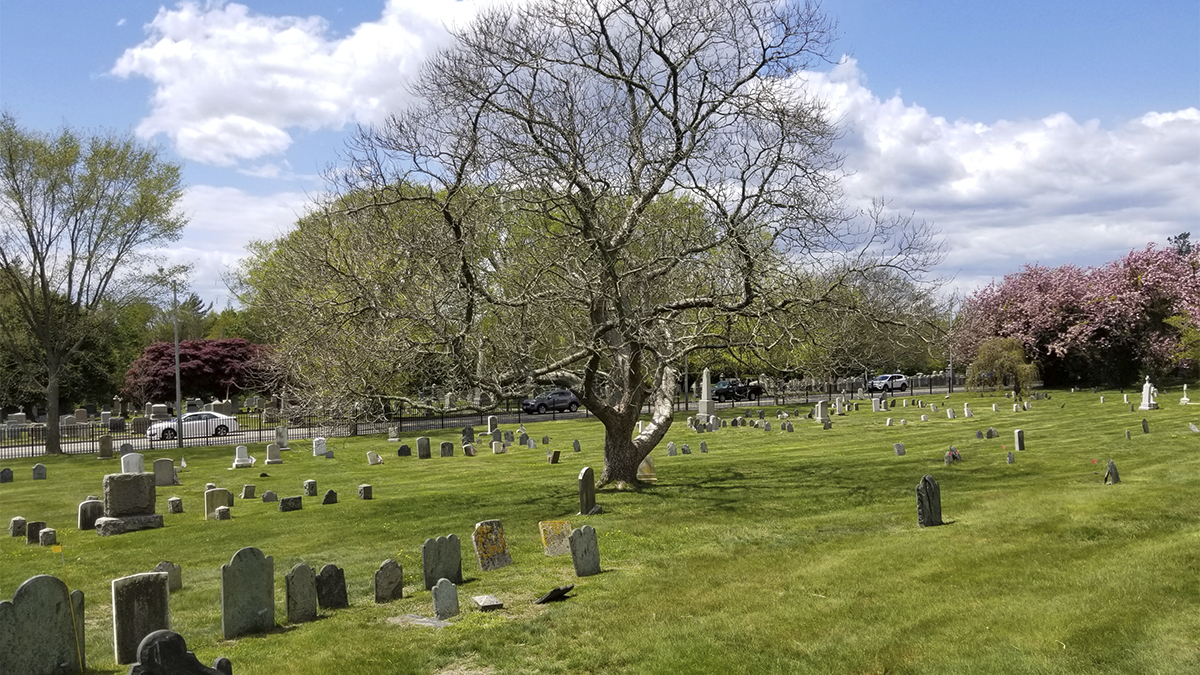
Lacking drives or footpaths, the cemetery’s expansive sloping grounds afford long views across the site. A steel picket fence lined with an allée of American elm trees borders the western edge, while a partial chain-link fence lined with mature cherry trees defines the eastern perimeter. Deciduous and evergreen trees (oak, mulberry, arborvitae, and catalpa) and herbaceous perennials (including buttercups, violets, daylilies, and daffodils) are interspersed throughout. Burial markers are westward facing and are largely oriented in north-south rows, although there are several gaps due to lost markers. Primarily made of slate, granite, and marble, many of the earliest graves were marked by professionally carved stones.
The entirety of the Common Burying Ground was listed in the National Register of Historic Places in 1974 and in 2022 Martha Lyon Landscape Architecture prepared a master plan.