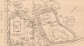

Landscape Information
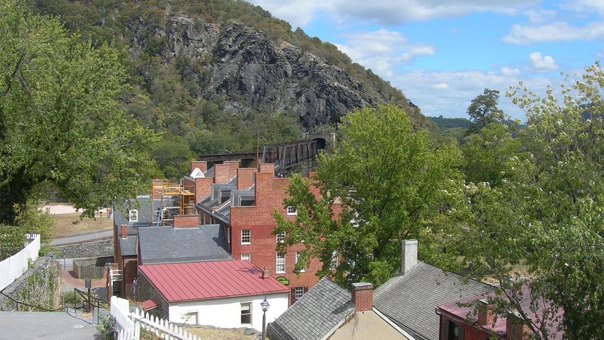
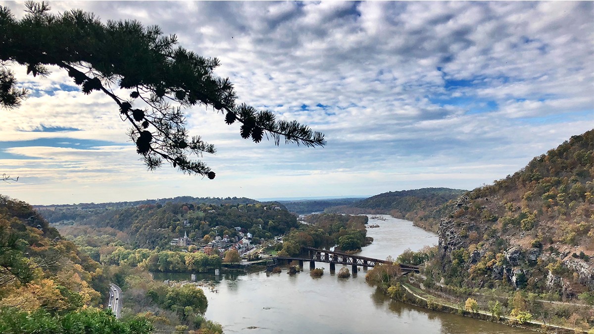
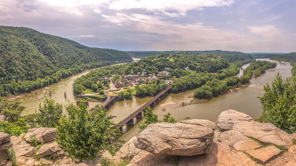
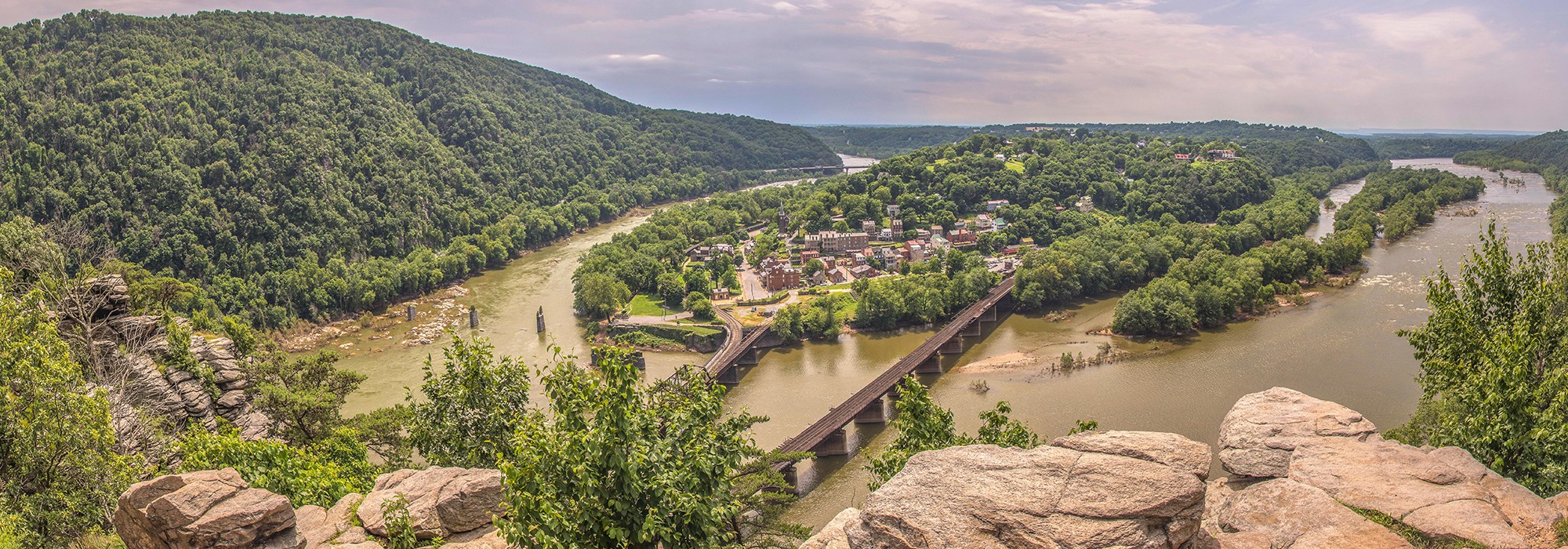
Nestled within a prominent gap of the Blue Ridge Mountains, the national park includes 3,745 acres, primarily in West Virginia, including portions of its namesake town. Sited on a peninsula at the confluence of the Potomac and Shenandoah Rivers, where Maryland, Virginia, and West Virginia meet, the peninsula includes a narrow flood plain that rises to the west, forming an expansive knoll, Camp Hill.
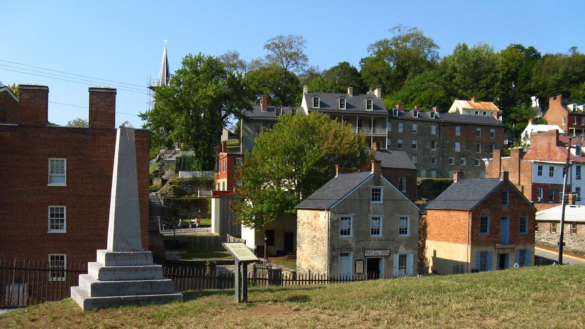
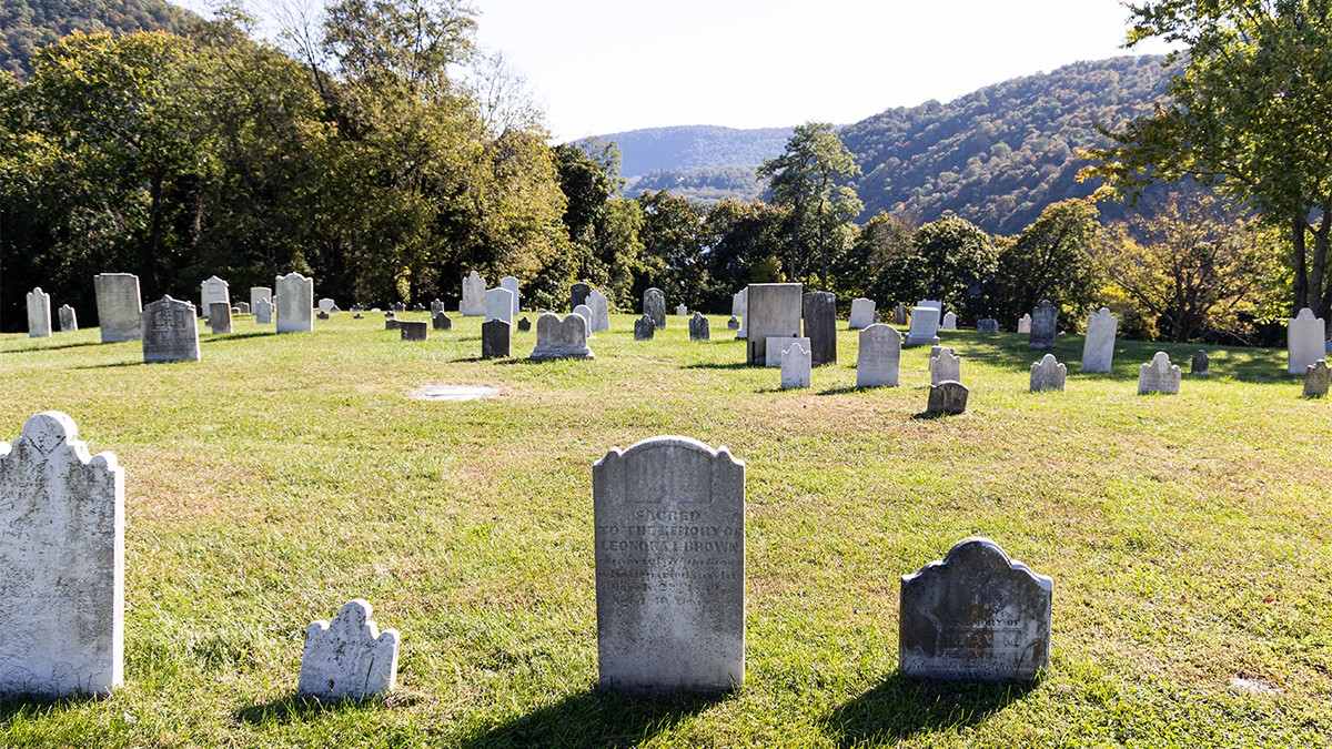
In 1796 Congress located a federal armory at Harpers Ferry. Bolstered by its proximity to transportation networks, including the Chesapeake and Ohio Canal (now Chesapeake and Ohio Canal National Historical Park), Harpers Ferry developed as a leading industrial center. In 1859 abolitionist John Brown seized an armory structure, precipitating the Civil War. Throughout the war, Union and Confederate troops vied for control over the strategic location, with five battles fought at Harpers Ferry in three successive years. During the Union occupation a portion of the town served as a “contraband camp,” providing shelter to African American freedom seekers. After the war, the federal government abandoned the armory and in 1867 Storer College was established on Camp Hill to provide education to formerly enslaved people.
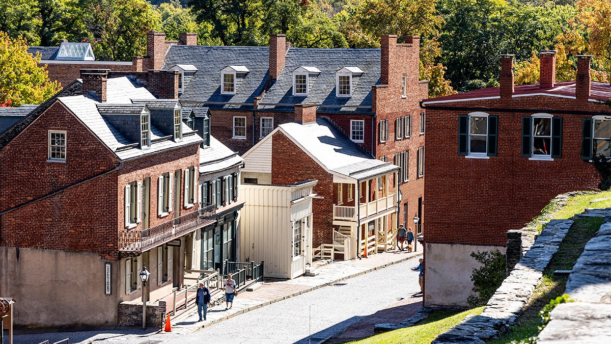
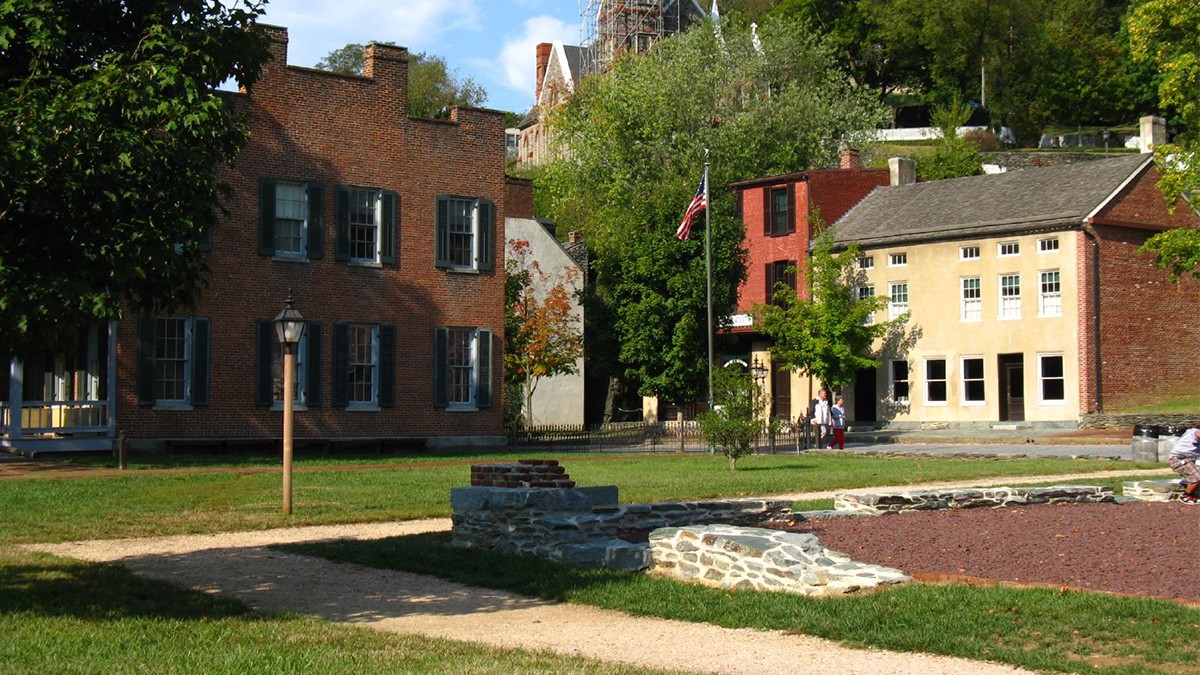
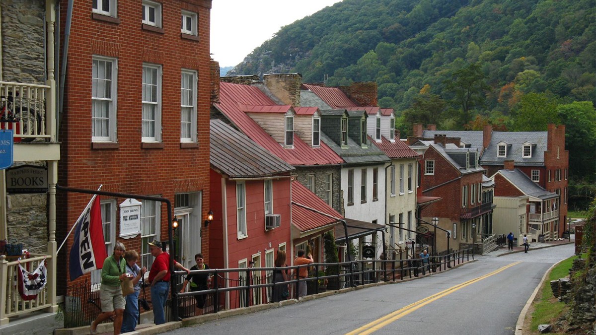
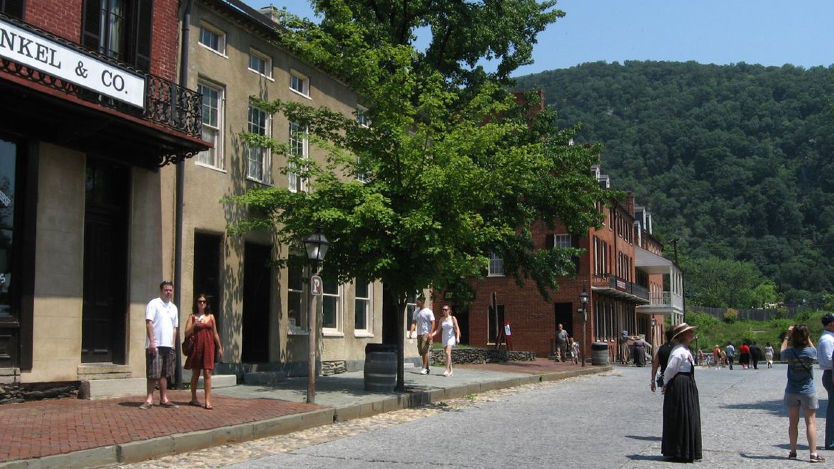
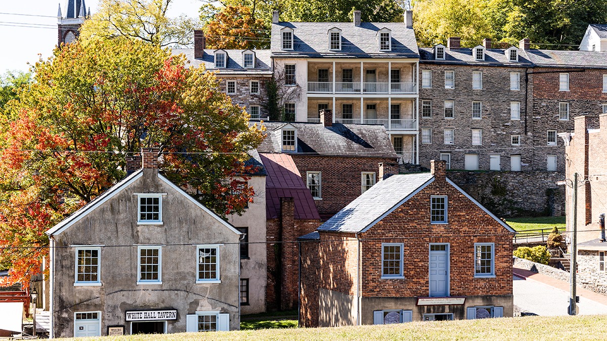
Today, the park’s historic core, Lower Town, occupies the peninsula’s eastern extent. Accessed along Shenandoah and High Streets, Lower Town is bordered by shale and brick sidewalks and features multiple historic structures that house thematic museums. Shenandoah Street is interrupted by an earthen berm, topped by an 1895 stone monument that commemorates John Brown and marks the location of his raid.
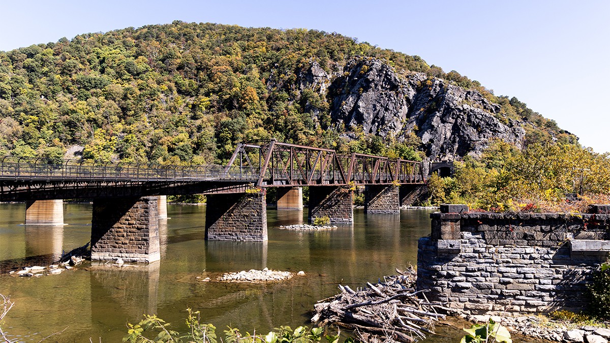
The park extends into Maryland and Virginia, encompassing the prominent bluffs of Maryland Heights and Loudoun Heights respectively, which provide panoramic views. A network of footpaths, including the Appalachian Trail traverse the site.
The park was established by Congress in 1944 and was listed in the National Register of Historic Places in 1980.