
Landscape Information
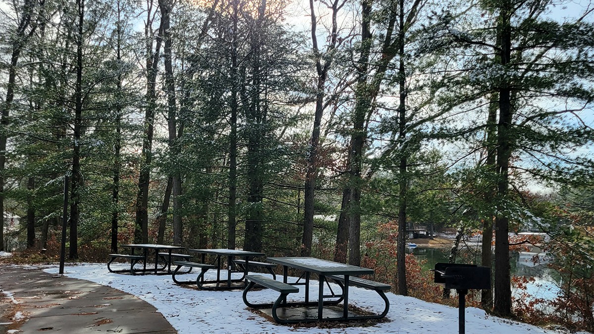
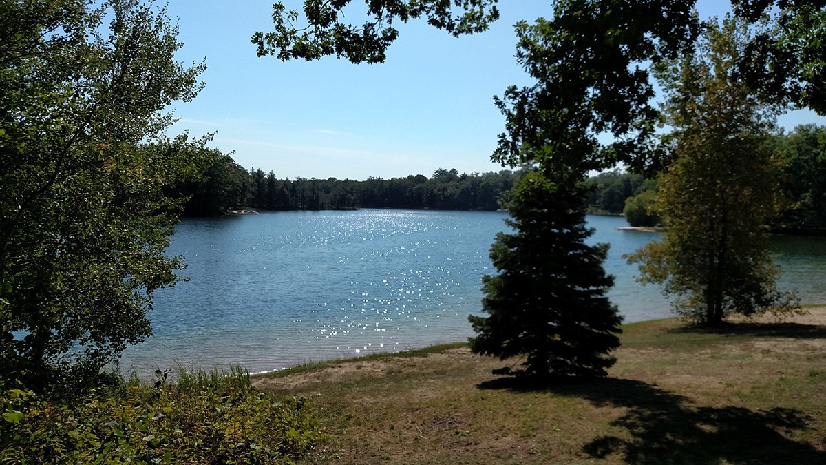
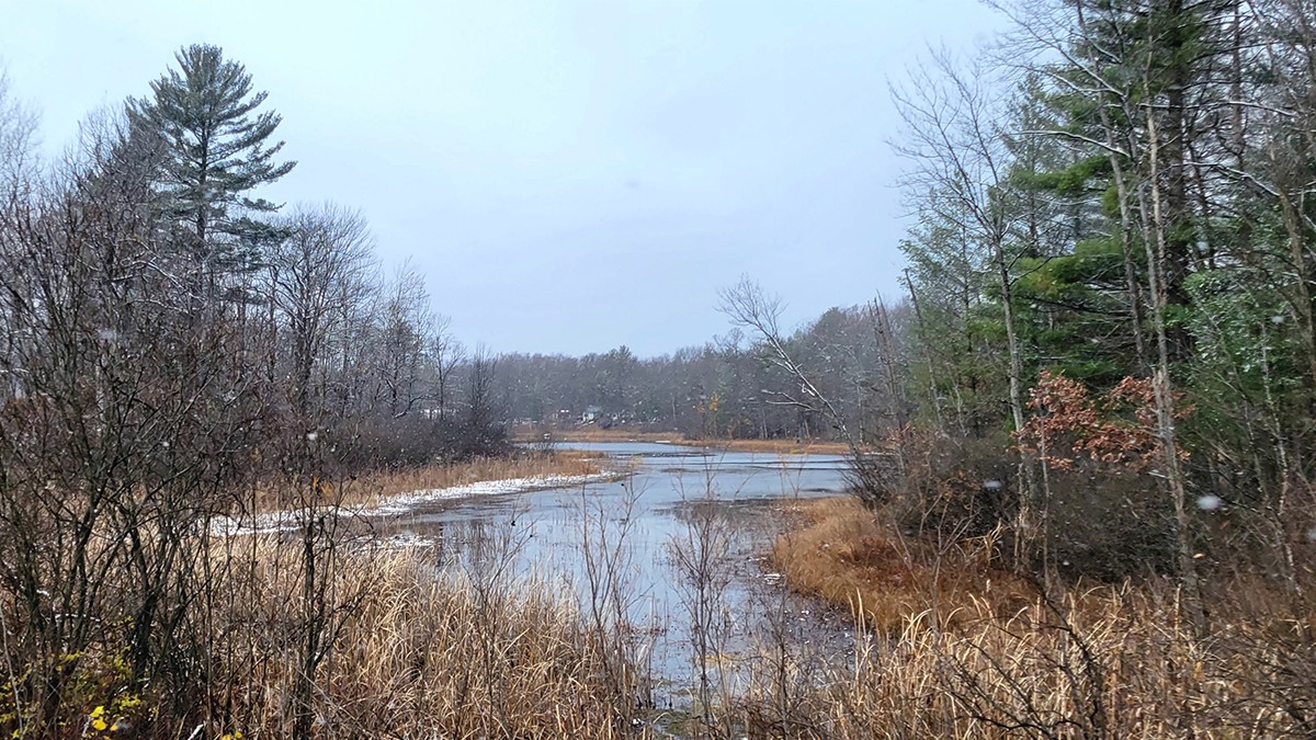
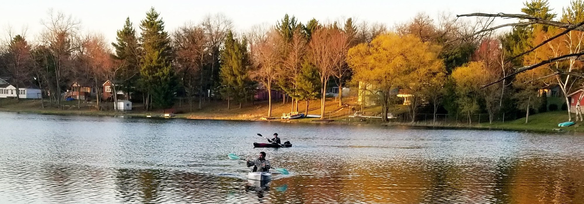
Established in 1912 on former deforested land, this community was a popular African American resort destination during the era of segregation. Located 37 miles east of Lake Michigan and south of Route 10 within Huron-Manistee National Forest, the district comprises four square miles of gently rolling, forested terrain punctuated by four lakes.
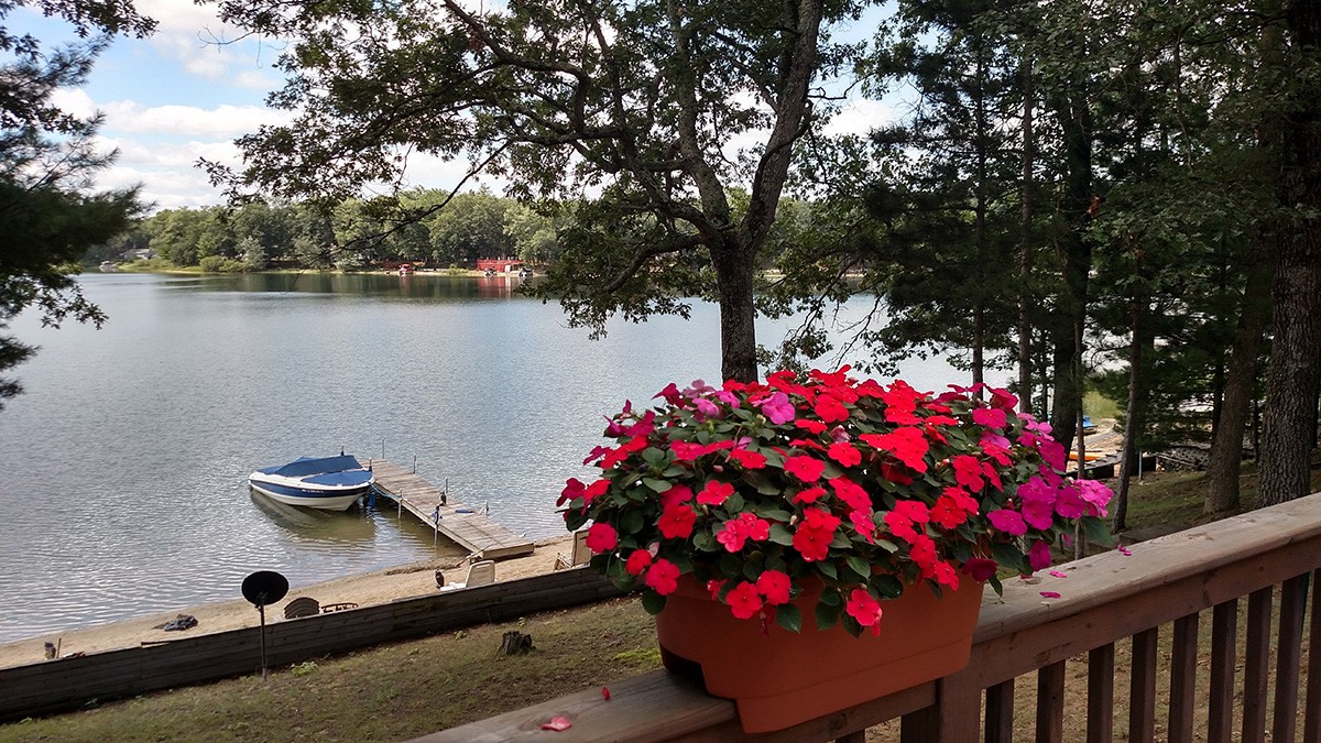
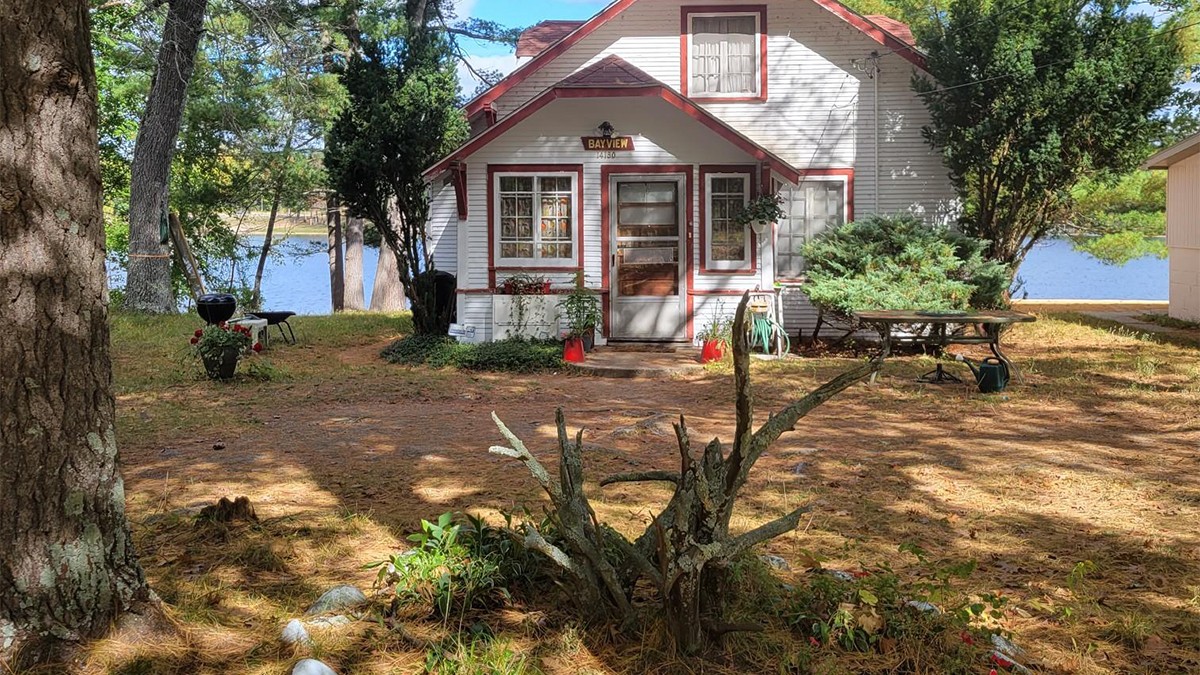
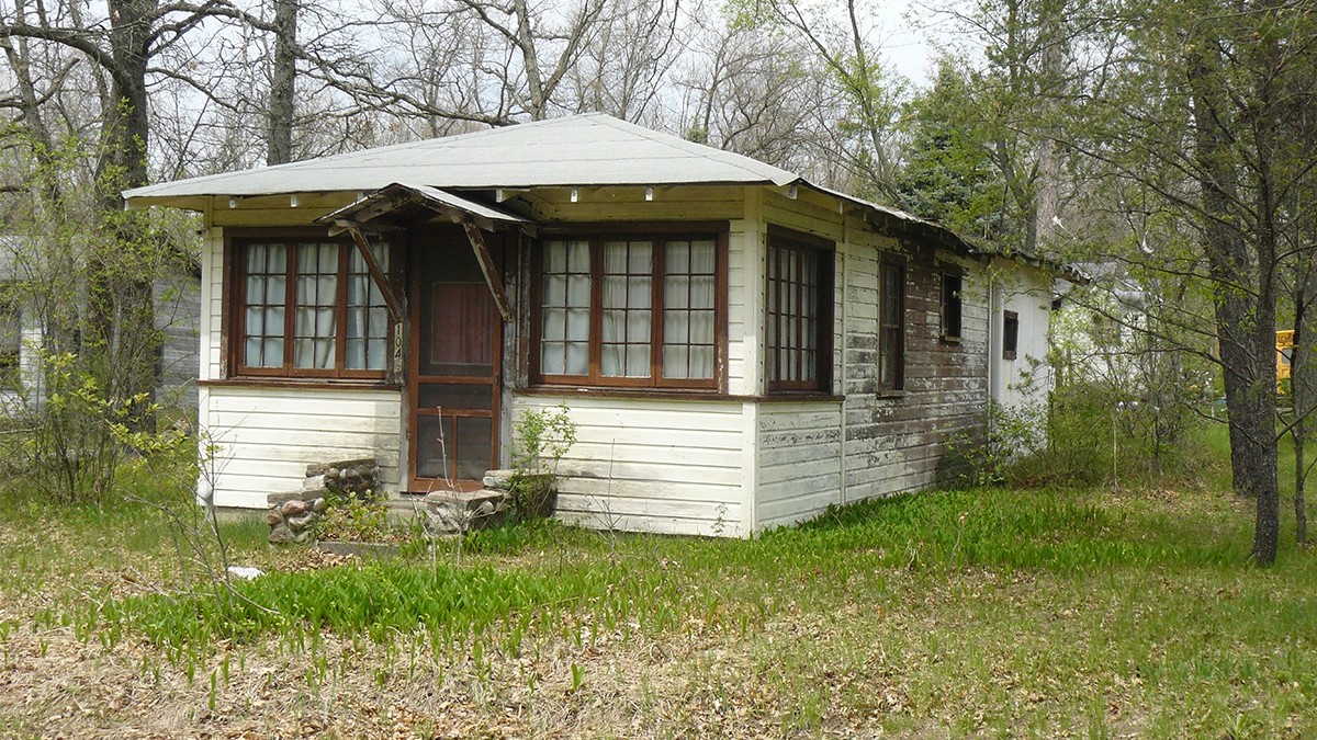
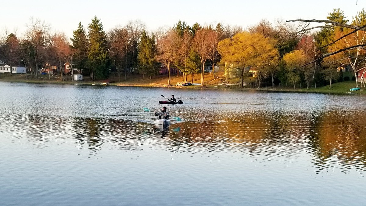
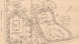
The unincorporated community, historically known as “Black Eden,” was platted in 1915 around the lakes, with development concentrated around 100-acre Idlewild Lake and 42-acre Paradise Lake. Cabins and cottages were sited on modest, densely-canopied lots, and sold to middle- and upper-class African Americans. Notable property owners included Madame C.J. Walker, Daniel Hale Williams, and W.E.B. DuBois. The latter introduced Idlewild to a national audience, highlighting the community in a 1921 article published in the NAACP’s magazine, The Crisis.
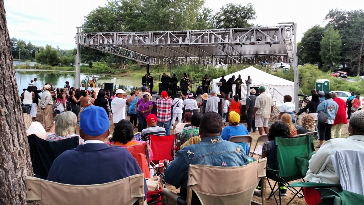
Island Park (now Williams Island), a relatively flat, eight-acre landform in Idlewild Lake, served as the community’s social hub. Distinguished by a beach on its south shore, it was originally accessed by footbridges. In 1916 a clubhouse was erected, followed by an electrical plant, cottages, and venues. By the early 1930s the island was traversed by the curvilinear Lake Drive.
West of the lake, South Forman Road forms the community’s original western border, which connects an indiscriminate grid of streets named for natural features, civil rights leaders, and American cities. As the streets approach the lakes, they become curvilinear, echoing the shorelines.
Listed in the Green Book from 1939 to 1967, visitation declined following the Civil Rights Act of 1964. Today, many extant cabins and cottages are maintained by descendants of former owners. The historic district was listed in the National Register of Historic Places in 1979 and expanded in 2010, totaling approximately 2,700 acres.