

Originally part of an early frontier settlement known as Draper’s Meadow, this sixteen-block grid was established by William Black in 1797 and named “Blacksburgh” a year later. The town, just east of a pass through the Allegheny Mountains, capitalized on traffic from nearby Christiansburg and was sited to take advantage of several spring-fed streams. Set within a 10-street grid plan, each of the sixteen blocks was subdivided into four corner lots with the interior of each block reserved for gardens and livestock. The larger square formed by the sixteen block grid is oriented with the diagonal pointed five degrees east of true north. Westview Cemetery, just to the west, was established in 1832 a short distance from the town center. In 1871 the town was incorporated and renamed Blacksburg in 1893.
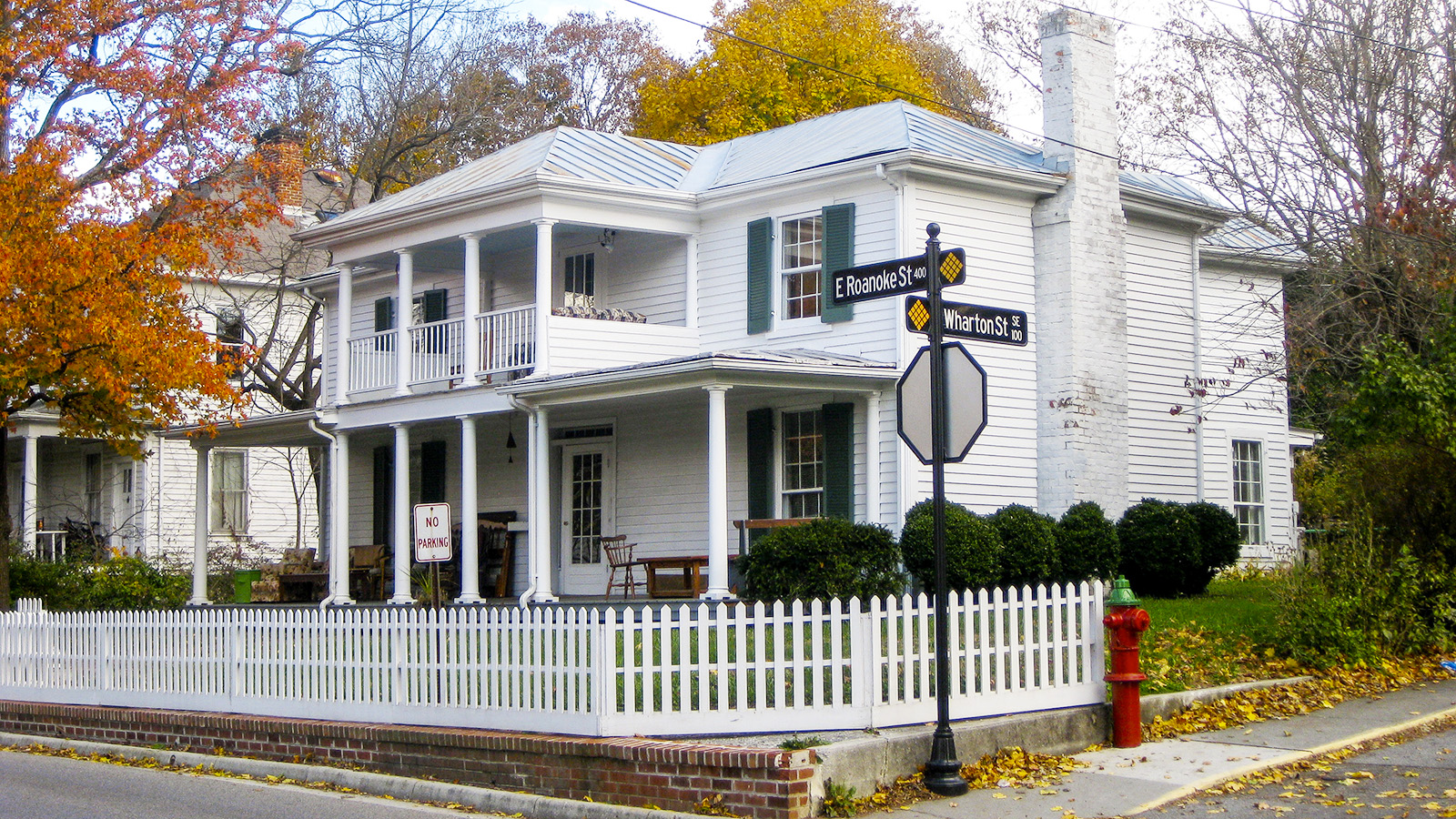
Today, the nearly 39-acre area known as the “Old Sixteen Squares,” is bounded by present-day Water Street on the southwest, Jackson on the northwest, Wharton on the northeast, and Clay Street on the southeast. The historic district, abutted on the east by Virginia Tech, remains a mix of 19th and early 20th century commercial, religious, and residential structures. Several of the blocks retain their traditional central green space plan and are comprised of brick sidewalks, historic site furniture, and wide setbacks that accommodate public and semi-public uses. The Old Sixteen Squares is located within the Blacksburg Historic District, which was added to the National Register in 1991.


