

Landscape Information
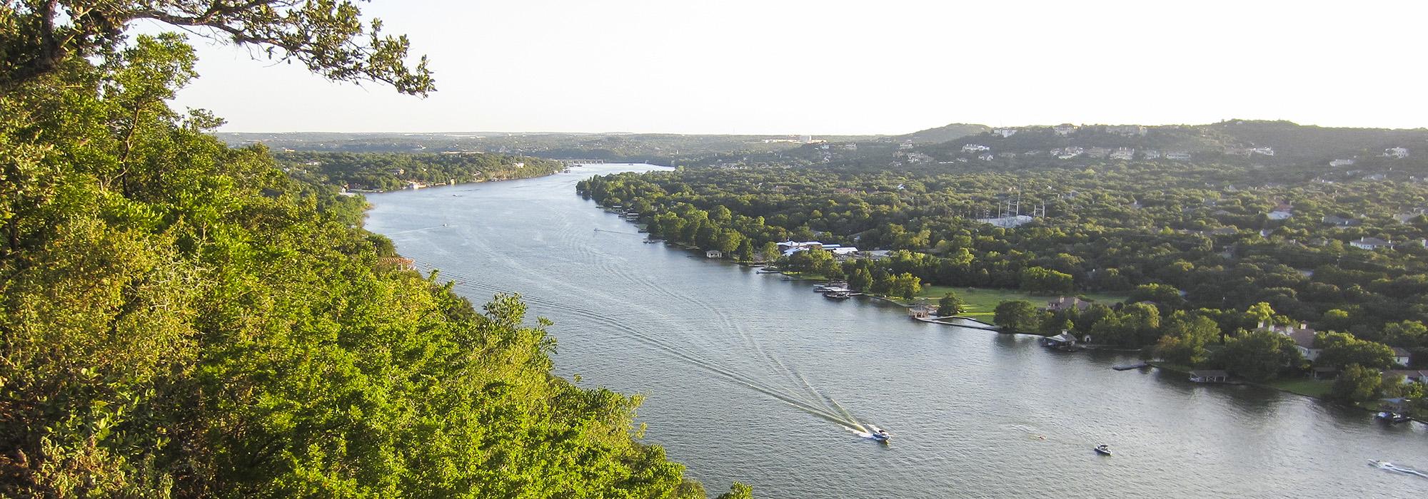
Situated a short distance north of downtown Austin, the limestone cliffs of Mount Bonnell rise 775-feet above sea level to provide dramatic views of Lake Austin and the Colorado River Valley. Utilized by Native American tribes, the first documented excursion to the peak appears in a diary entry written in 1838 by journalist George Bonnell—though a year earlier frontiersman William “Bigfoot” Wallace reportedly recuperated from cholera in a cave somewhere on the mountain. In 1839 the land surrounding Mount Bonnell was homesteaded by Albert Sillsbe and in 1846 it was settled by a group of Mormons who constructed a gristmill at its base.
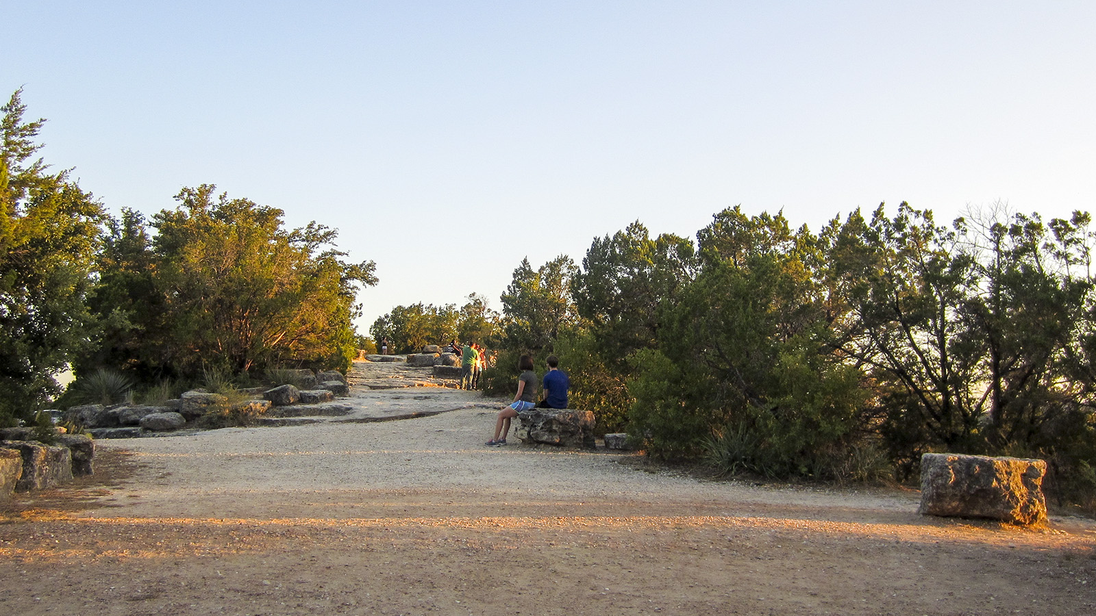
Popular for its expansive views and cooler temperatures, Mount Bonnell was often used by the public and, in 1939, the land was donated to Travis County by the family of Frank Covert, Sr. for use as a park. Improvements at that time include the installation of some 100 limestone steps leading to a clearing on the crest, the construction of several small picnic areas (accessed by short trails) comprising stone tables and benches, and the erection of stone pylons along a trail that overlooks the valley. Commemorating Covert’s donation of land, a carved limestone monument stands on a flagstone, star-shaped plaza. In 1972 the five-acre parcel was conveyed to the City of Austin and ten years later a rustic stone arbor and retaining walls were built atop Mount Bonnell. The remainder of the park retains its naturalistic setting of mountain laurel and live oak; in 2006 it became part of the Balcones Canyonlands Preserve, which safeguards more than 30,000 acres of endangered habitat in Travis County.


