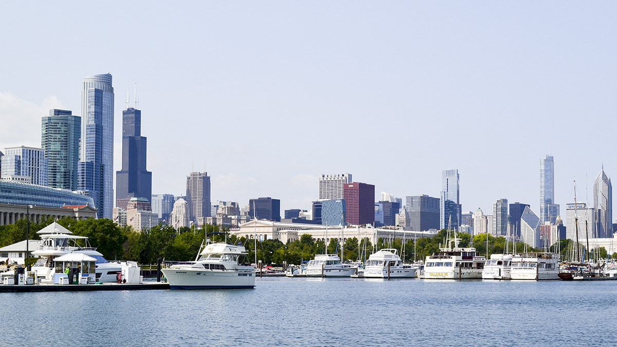
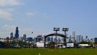
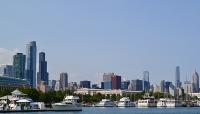
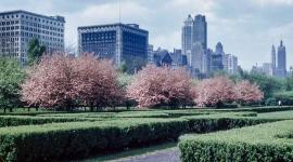
This 91-acre peninsula was constructed in the 1920s south of Grant Park on the Lake Michigan shoreline. Daniel Burnham’s 1909 Plan of Chicago called for a chain of islands a short distance from the shore between Grant and Jackson Parks. By 1925 a bridge stretched into the lake on axis with the Field Museum of Natural History, terminating on the northern tip of a narrow island that extended to the south. In 1930, the Adler Planetarium was opened on the island’s northern end. Three years later, the Century of Progress Exposition transformed the shore near the museum, and the island—providing exceptional views of the city skyline—was used for botanical exhibits. Following the Exposition, the island became a public park with a swimming beach. Although Alfred Caldwell designed a plan to develop an island park, it was never implemented. In 1938 the Works Progress Administration constructed a causeway that connected the island to the mainland, creating a partially enclosed lagoon.
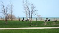
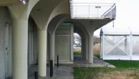
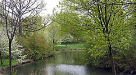
While the idea of an airport on Northerly Island had been suggested several times, it was not until 1946 that one was constructed. Additional landfill was added to the island and the Merrill C. Miegs Field opened in 1948, with a passenger terminal built in 1961. The airport’s lease expired in 1996 and, in 2003, Mayor Richard M. Daley authorized the decommissioning of the airport—a controversial move accomplished with bulldozers in the middle of the night. The terminal was transformed into a visitors center; 400 trees and 30 acres of prairie plants were installed. In 2010, Studio Gang Architects created a master plan for Northerly Island and, in 2015, the first 30 acres of the plan, including trails and a lagoon, were realized.


