Landscape Information
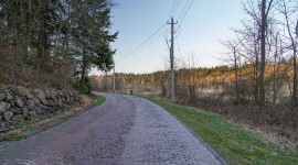
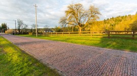
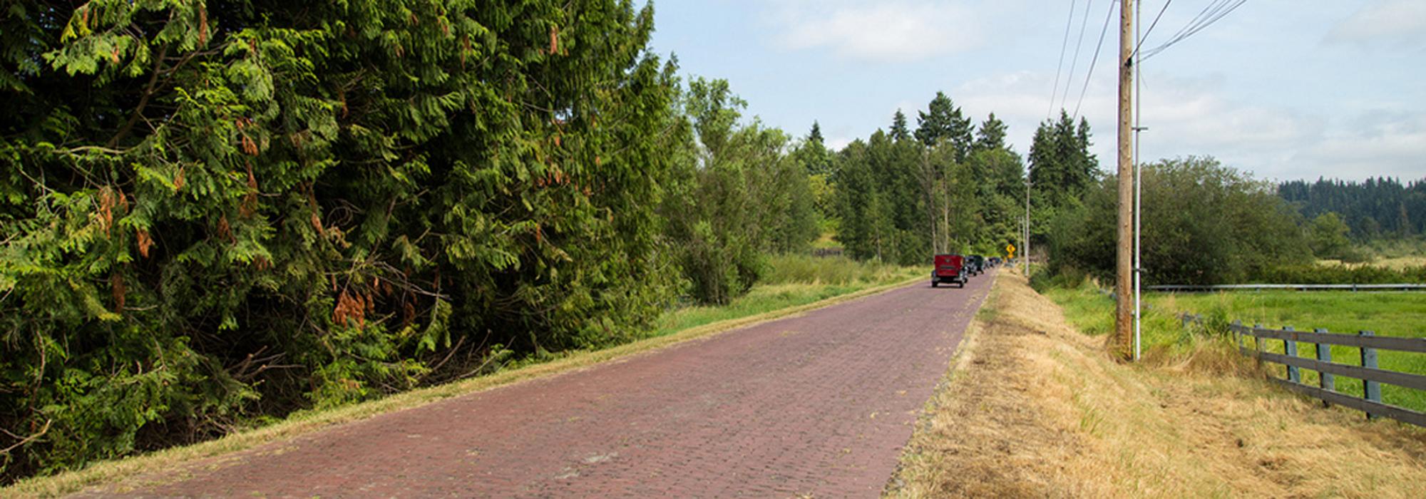
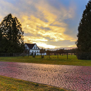
Originally part of the Snoqualmie Pass wagon road through the rural Evans Creek Valley, this route became part of the 3,300-mile-long transcontinental Yellowstone Trail completed in 1923. The dirt and gravel road was surveyed in 1901 to traverse a one and one-half-mile-long bottomland pass to redirect traffic from a steep and dangerous route between Redmond and Seattle. Local landowner James Mattson filed the petition with King County to have the road constructed and posted bond for the survey. The road remained gravel until 1913 when, responding to increased use, the County extended the road by an additional mile and repaved it with bricks brought from nearby Renton. Laid in a stretcher bond paving pattern by a professional bricklayer and local residents, the improved surface transformed the former wagon road into a major route used by local farmers, loggers, and transcontinental traffic.
Primarily straight and running north-south through agricultural fields and woodlots, the brick section stretches between Union Hill Road and Redmond Fall City Road. One 90-degree bend known as Dead Man’s Curve at the intersection with Union Hill Road marks the location of an early automobile accident. Today, at just over one mile in length, the brick road is among the last remaining sections of the Yellowstone Trail to retain its historic character. The bumpy road preserves a track of broken brick along its western edge caused by a tractor with a spiked wheel in 1915. Listed on the National Register of Historic Places in 1974, King County restored much of the route in 1989.