Landscape Information
Part of the natural system of stream-cut gorges that empty into the Don River, this ravine near downtown Toronto cleaves the subdivision of Rosedale, and once carried a roadbed that was the primary means to access the Don Valley. In 1881 Edgar Jarvis built the North Iron Bridge across the ravine to connect southern Rosedale to land he owned on the north, which was subsequently developed. With the completion of an extension to Bayview Avenue, and the construction of the Don Valley Parkway in the 1960s, the road that traversed the ravine became unnecessary, and was closed to vehicular traffic in 1973.
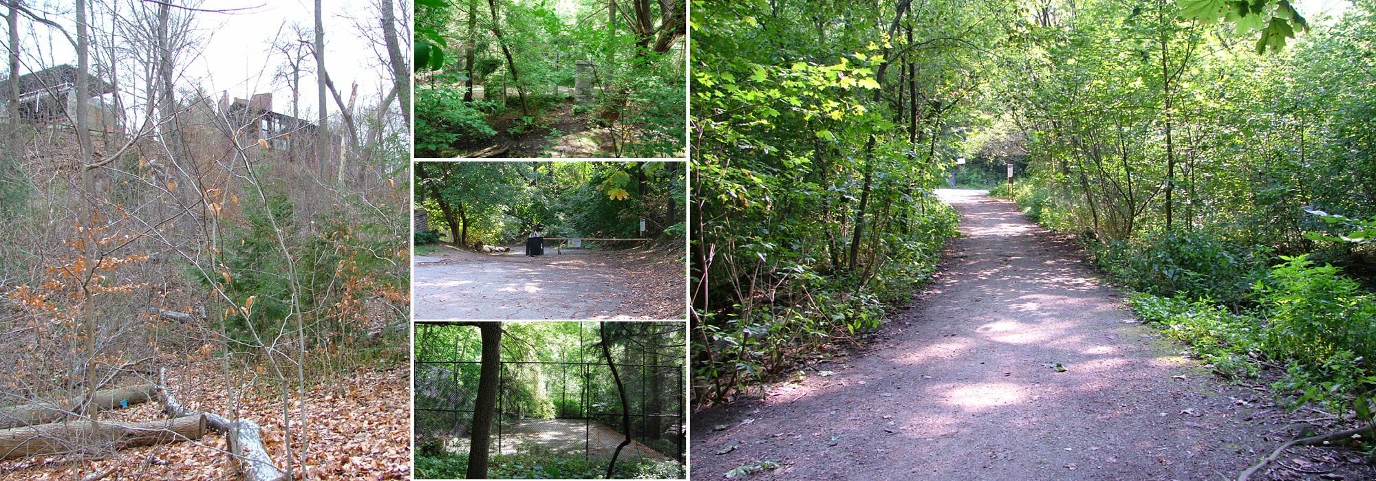
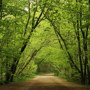
The ravine can be entered from Mt. Pleasant Avenue on the northwest, where a one-kilometer-long gravel path descends into the forested chasm of Norway maples, poplars, and elms. On the north side of the trail, past a stand of balsam poplars, is the Yellow Creek Butterfly Meadow, a re-naturalized area planted (circa 2000) with sedges, wildflowers, and shrubs to support pollinators. Farther to the southeast is the outflow of the Spadina Storm Trunk Sewer (constructed in the 1960s), which arrives from the north, carrying the piped overflow from Castle Frank Brook. Farther along to the south is a fork in the trail: the southwesterly path is Milkman’s Lane (previously used by dairymen to access the Don Valley and closed to traffic in 1958), which meanders through stands of maple, ash, white birch, beech, oak, and hemlock, to reach Craigleigh Gardens. The trail passing through the Park Drive Reservation Lands is a segment of the Beltline Trail, a nine-kilometer-long rails-to-trails initiative.