

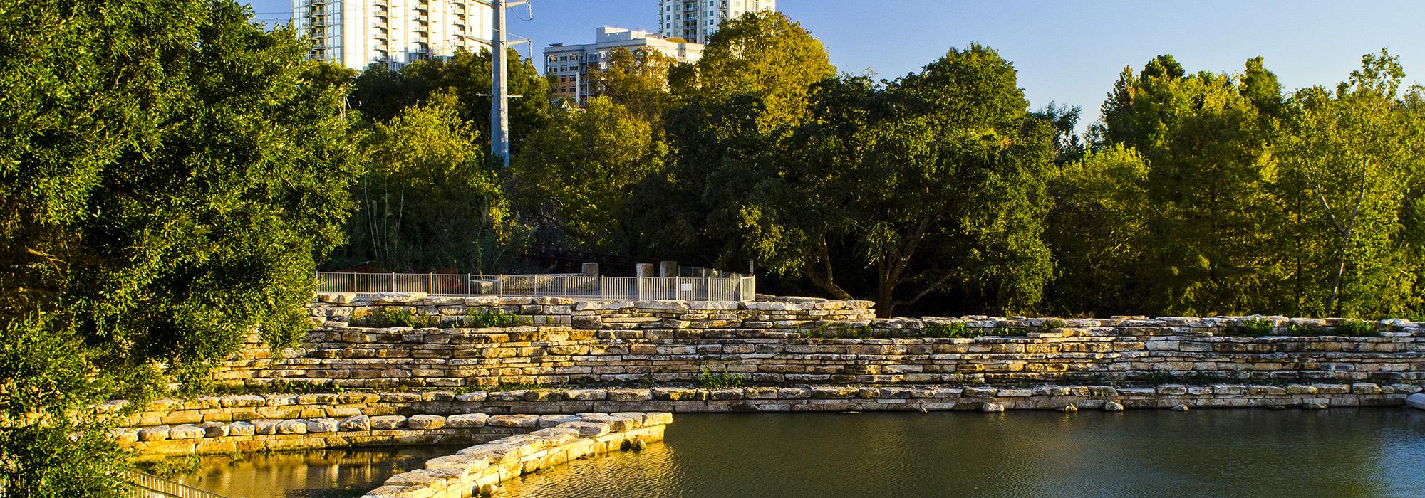
Landscape Information
Originating in northwest Austin and draining into Lady Bird Lake, this meandering six-mile-long creek is named for surveyor (and the city’s first mayor) Edwin Waller. When the Republic of Texas was chartered in 1839, the town of Waterloo (later renamed for Stephen Austin), on a bluff overlooking the Colorado River, was selected for the capital. Waller laid out the town on a 640-acre site bordered on two sides by creeks. To the west stretched Shoal Creek and to the east, a creek eventually named for the surveyor. Cutting through limestone cliffs and passing through undulating terrain, the creek was originally flanked by stands of live oak, pecan, maple, and juniper. As the city expanded, the banks of the creek became urbanized and, by the 1870s, industrial uses marred the creek’s lower section. In 1883 the University of Texas was established and quickly grew to encompass the acreage surrounding a segment of the creek.
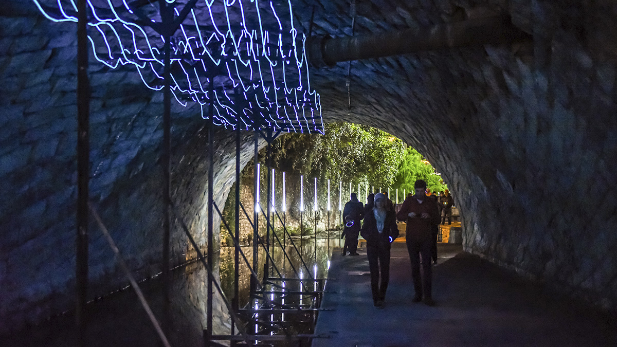
Over the past century, flash floods occurred along many of Austin’s urban creeks, with twelve drownings (in Waller Creek) in 1915, and thirteen in 1981. In 1969, some 27 protestors were arrested for chaining themselves to trees along Waller Creek slated to be bulldozed for the expansion of the University of Texas’s stadium. In 1980, the City initiated a program to enhance Austin’s creeks for flood control and recreation and the Waller Creek Conservancy was established 30 years later. In 2011, construction commenced on a tunnel beneath the creek to alleviate flooding. One year later, Michael Van Valkenburgh Associates was selected to design a system of parks along the lower 1.5-mile-long section of Waller Creek.


