Landscape Information
This 384-acre linear park is named for a village that once occupied this location before relocating to higher ground after repeated flooding. The park follows the west bank of the Mississippi River and connects to Harriet Island Regional Park by walking/biking trails and a road. The park’s eastern section is immediately below sandstone bluffs that historically furnished sand for brickmaking. This industry’s history is interpreted on the "Brickyard Trail" leading up from the floodplain through forest, past remnants of a kiln, to Cherokee Park at the top of the steep slope. The limestone gateway monument at the park’s eastern end was designed by LHB architects in 2011.
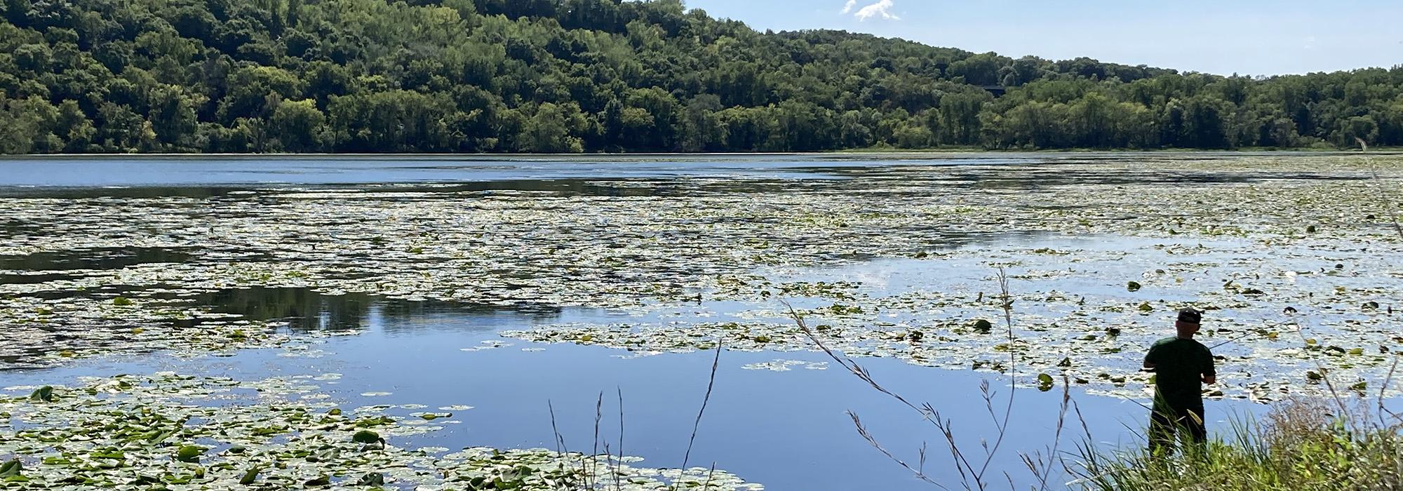
Further west is the 100-acre Pickerel Lake, dotted with lily pads in the summer. A picnic shelter, designed by architects VJAA, was installed in 2020. The historic stone-arch Mendota Road Bridge, built in 1894 and now part of the walking/biking path, was restored in 2019. Remnants of a wood railroad trestle remains along the path.
Trees and shrubs include spruces, lilacs, and species chosen to withstand repeated flooding. A long-term master plan implemented in 2011 focuses park management on environmental remediation, trail and roadway construction, and habitat restoration. Continuing erosion of the bluff is of constant concern, and stabilization remains a priority. Lilydale Park is part of the Mississippi National River and Recreation Area.