Pioneer Information
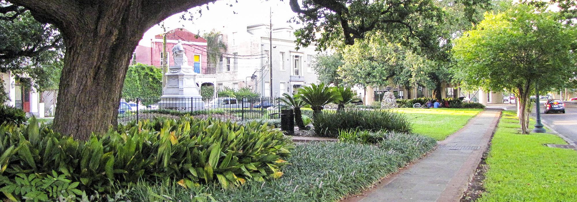
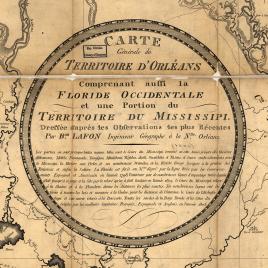
A native of France, Lafon arrived in New Orleans around 1789. While he performed many roles throughout his life, including architect, builder, engineer, surveyor, cartographer, town planner, land speculator, and publisher, he is best known for his work as an architect and planner. In addition to designing numerous houses in New Orleans, Lafon was involved with many public works projects, including the improvement of covered gutters along the city’s streets between 1797 and 1799, and the repair of riverfront levees in 1802. He worked as a surveyor for over two decades for private clients, and served as the deputy surveyor of Orleans Parish from 1805 to 1809. Lafon completed one of the earliest and most accurate maps of Louisiana in 1805, and prepared a map of New Orleans in 1816 which detailed the countryside and suburbs. In 1806 and 1807 he drafted plans for the subdivision of the Delord-Sarpy Plantation, which became part of the Lower Garden District. Intending a classical-style neighborhood, Lafon laid out an oblong grid of city blocks with a roughly triangular-shaped park at its center (Coliseum Square) intended to be the focal point of the community’s social and intellectual life. He named its streets after Greek muses, also laying out St. Charles Avenue (formerly Nyades Street). His plans displayed his creativity and his familiarity with European planning concepts.
Lafon published New Orleans’ first almanac in 1807, and served on the New Orleans City Council from 1808 to 1810. He became a consulting engineer for the U.S. Army, surveying the city’s defenses between 1810 and 1815, and constructing fortifications related to the Battle of New Orleans in 1815. He died in 1820 from yellow fever and was buried in St. Louis Cemetery No. 1.