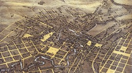
Landscape Information
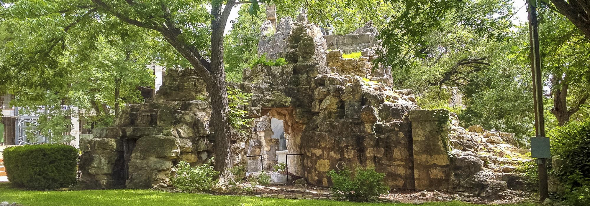
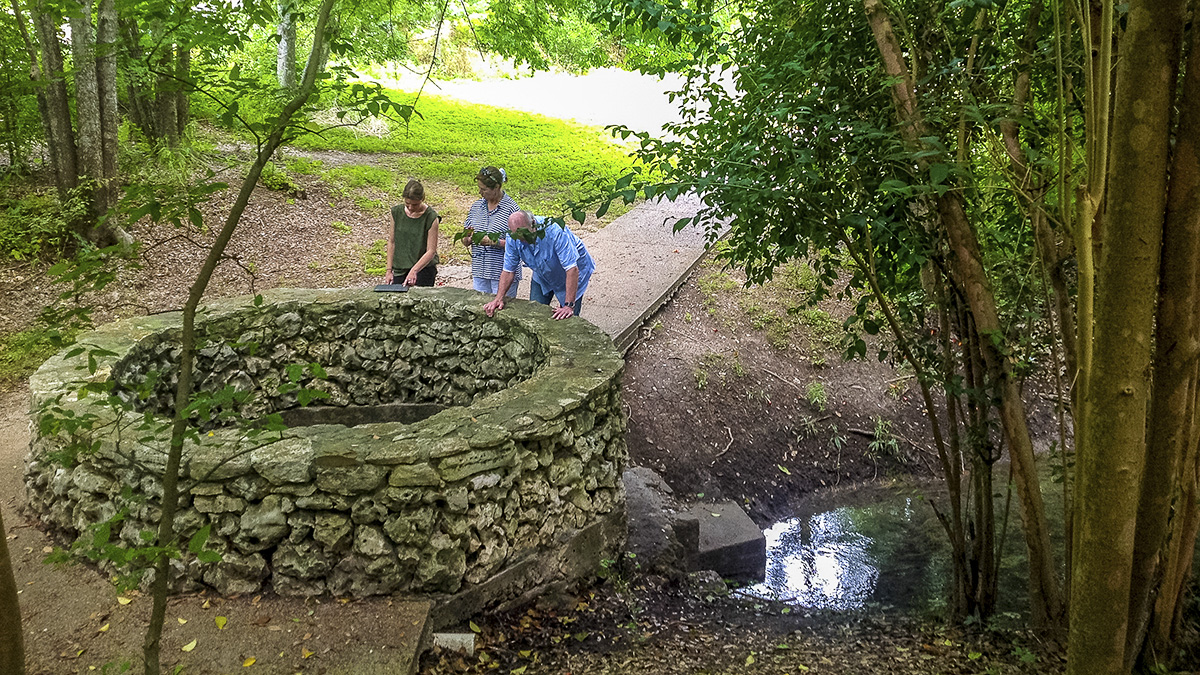
Located among riparian woodlands just north of Brackenridge Park, this natural spring has long been considered the headwaters of the San Antonio River. Known to Native peoples as “Yanaguana,” meaning “spirit waters,” the Blue Hole is the largest of a network of natural springs sourced from the Edwards Aquifer that have been critical to human habitation in the San Antonio area.
Originally described, including by Frederick Law Olmsted, Sr., in 1857, as a geyser-like fountain, the water flow dramatically reduced as artesian wells began to be drilled into the Edwards Aquifer in the 1890s. Dry most of the time today, the spring flows naturally when the aquifer water table is approximately 676 feet above sea level.
Today, the Blue Hole is part of the Headwaters at Incarnate Word, a 53-acre woodland nature sanctuary established in 2006 that extends northwest of the University of Incarnate Word Campus. A paved concrete pathway leads to the spring on the west side of the campus, and a wooden pedestrian bridge with a red iron trestle crosses the river just south of the Blue Hole, providing connectivity to the Headwaters Sanctuary Heritage Trail. The octagonal limestone wall surrounding the top of the spring and the current walkway that provides access to it were added by the University of the Incarnate World in 1989. A concrete rim, installed by George W. Brackenridge as a part of his waterworks system, continues deep below the ground to the aquifer. The Blue Hole is a contributing feature of the Source of the River District, listed in the National Register of Historic Places in 1978.