Landscape Information
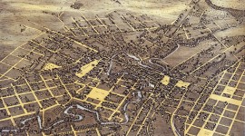
This historic residential neighborhood, located just south of downtown, spans approximately 65 acres between the San Antonio River, East César Chávez Boulevard, South St. Mary’s Street, and South Alamo Street. Originally farmland belonging to the Alamo mission, real estate developers Thomas Devine and Newton Mitchell acquired the land during the 1840s, and a rectangular street grid was laid out during the following decade. As prosperous German immigrants began constructing homes in the area in the second half of the century, the main thoroughfare was named King William Street to honor King Wilhelm I of Prussia.
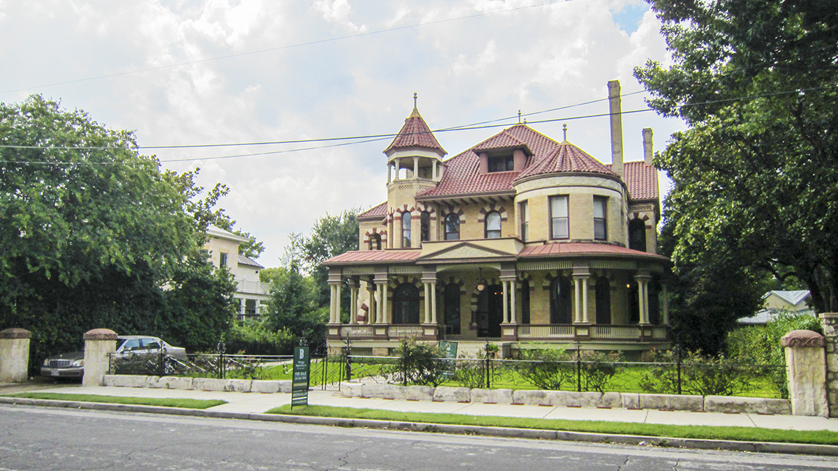
Grand Victorian, Greek Revival, and Italianate homes were constructed on small rectangular lots with manicured lawns, often bounded by hedges or masonry and wrought-iron fences. Crepe myrtles and other mature shade trees create a lush canopy over the streets and sidewalks. The triangular half-acre King William Park, sited near the neighborhood’s northern boundary, features a grass lawn planted with small trees, divided by three concrete and brick walkways that radiate from a tall central gazebo to the corners of the park.
By the 1930s and 1940s, many homes were converted into apartments while others fell into disrepair. Historic preservation efforts began in the 1960s, led by Walter Nold Mathis, who restored Villa Finale in 1967 and subsequently partially restored fourteen other properties in the neighborhood, leading King William to become the city’s first historic district in 1968. The River Walk was extended into the area during the 1980s. The King William Historic District, of which Villa Finale and Steve’s Homestead are contributing features, was listed in the National Register of Historic Places in 1972.