Landscape Information
Located along the Mississippi River at the city’s southeast corner, this site was recommended by civic leaders as a public park as early as 1875. A decade later, the State of Minnesota secured the land and began an unsuccessful effort to create the state’s first park. In 1887, 51 acres were dedicated to the Minnesota Soldiers Home and H.W.S. Cleveland was retained to design the landscape. The remaining land finally became a park in 1889 when the state transferred 123 acres to the Minneapolis park commissioners with the requirement, commonly ignored, that its official name be “Minnehaha State Park.”
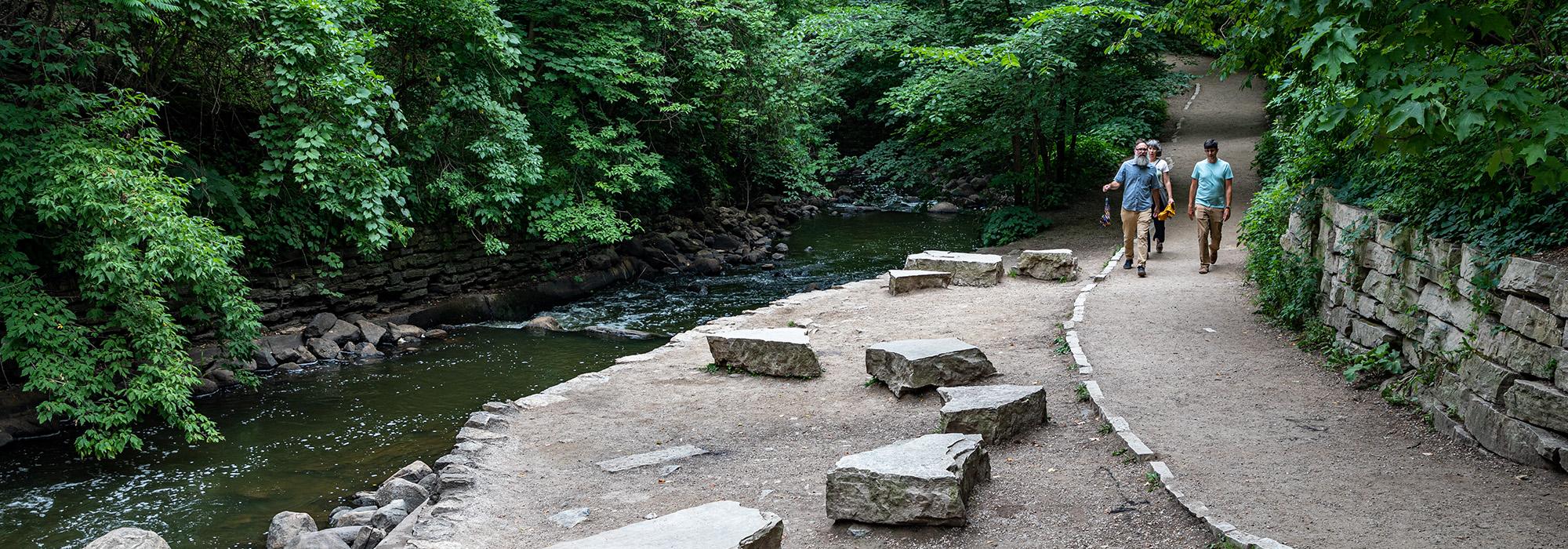
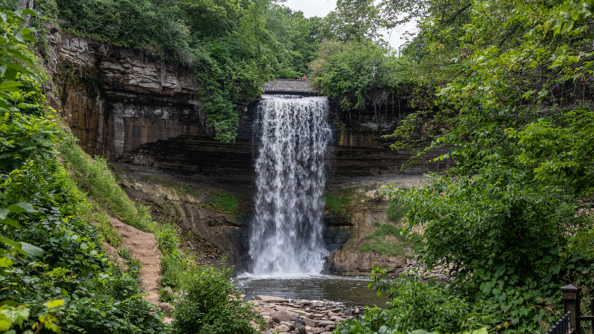
The park’s main features are Minnehaha Falls, a picturesque 53-foot cascade, and the wooded Longfellow Glen below, leading to Minnehaha Creek’s mouth at the Mississippi. Long before the park was created, this was a popular destination for city residents and visitors. The park board soon developed walking paths, bridges, a picnic shelter, and a refectory. In the 1930s, federal relief workers installed rustic walls, stairs, and bridges from stone quarried nearby. An auto tourist camp operated in the park’s northeast corner from 1921 until World War II; the area was later repurposed as the Wabun Picnic Area.
The park, now 167 acres, retains much of its naturalistic character despite modifications over the years. Walking trails lead from the south end of the park to Coldwater Spring “Mni Owe Sni” and Fort Snelling. Minnehaha Regional Park was listed in the National Register of Historic Places in 1969.