Landscape Information
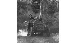
By 1910, the City of Charlotte became the state’s largest urban community and the center of its cotton textile industry. As the city expanded, naturalistically-platted suburban developments took shape on its outskirts. In 1911, George Stephens developed his father-in-law John S. Myer’s cotton plantation south of Charlotte as a streetcar community. Stephens hired Boston landscape architect and town planner John Nolen to create the master plan for Myers Park.
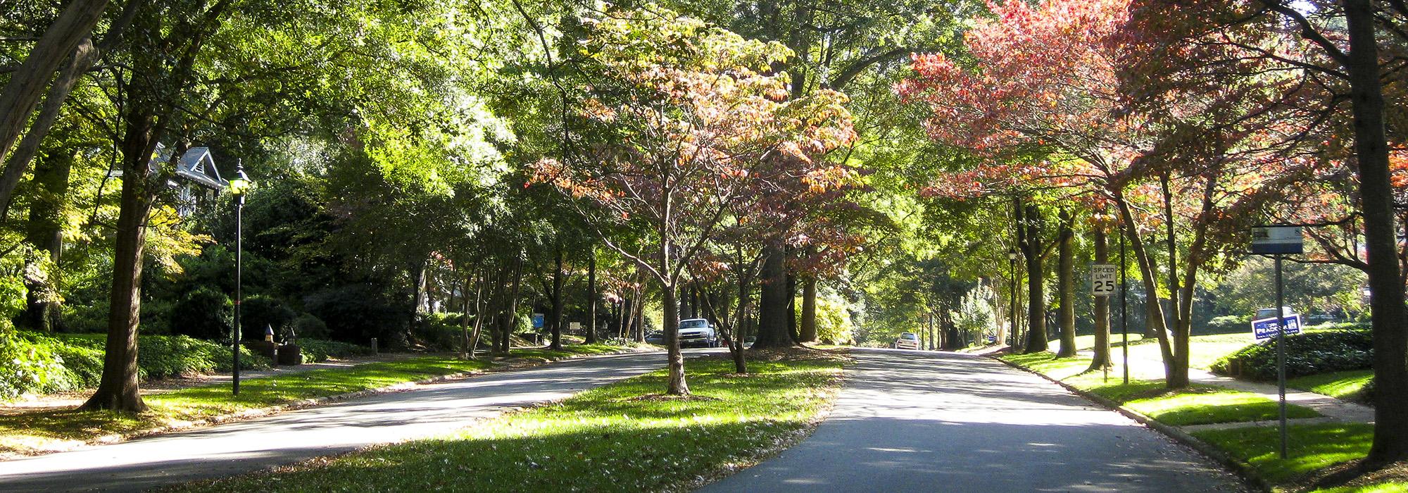
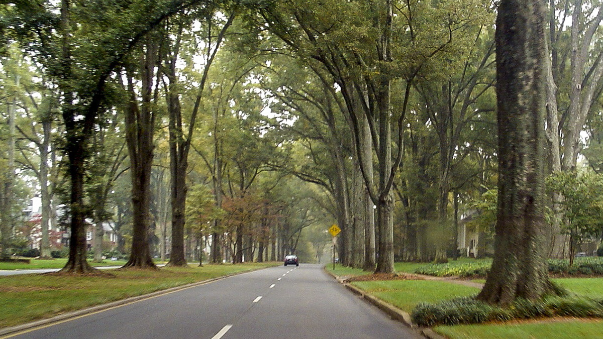
Nolen, along with Earle Sumner Draper (who was responsible for plant material selections), transformed the 1,100-acre parcel into a relatively dense residential neighborhood set within a bucolic landscape. The spine of Nolen’s design was Queens Road, which leads to Queens University to the immediate north. This grand boulevard is divided by a grassy median that originally held streetcar tracks and platforms; shade trees were planted in the median after streetcar service ended in 1938. Interior vehicular circulation is characterized by looping, curvilinear streets and tree-lined boulevards flanked by sidewalks. Stone gateways mark the street entrances, with substantial houses generously set back from the street and fronted by manicured lawns. Nolen provided landscape designs for many of the individual homes, working with prominent architects who designed the houses predominantly in the Colonial Revival style. A wooded park on the plan’s southern border provided public green space, while mature deciduous trees taken from the countryside were transplanted throughout the neighborhood.
Now 2,200 acres, Myers Park was listed as a historic district in the National Register of Historic Places in 1987.