Landscape Information
This 361-acre mixed-use neighborhood is located within the Point Loma Community, on the site of the former Naval Training Center San Diego. Constructed between 1921 and 1923, the initial 200-acre naval base served as a training center until its closure in 1999. With increased military recruitment during World War II and the Cold War, the base expanded to 550 acres before its decommission. It was subsequently sold to the City of San Diego, which converted the site to a mixed use recreational and residential development.
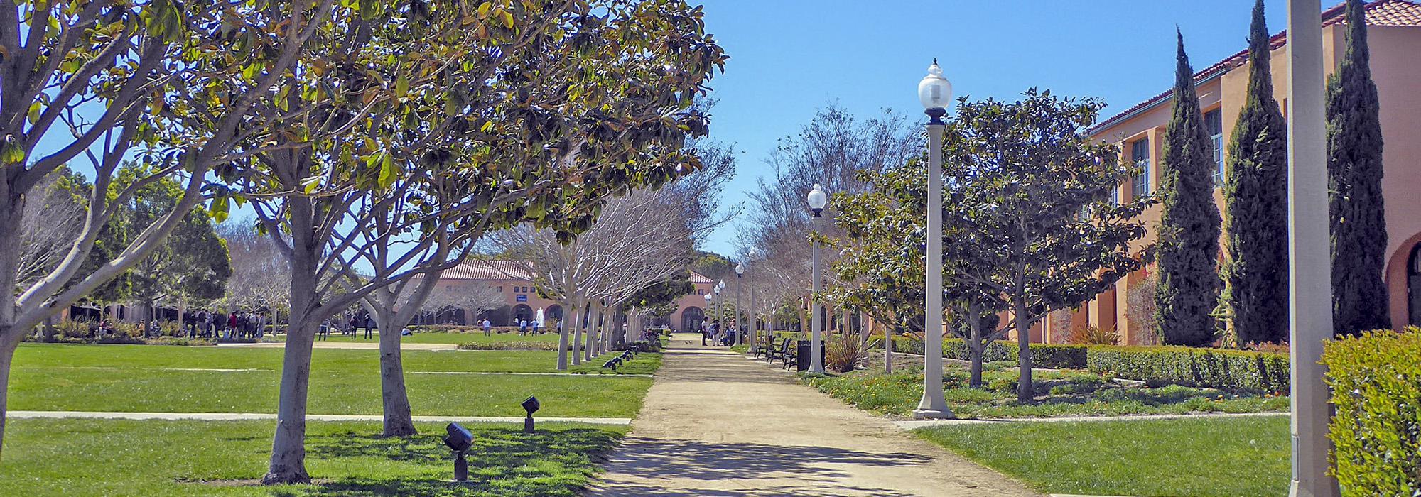
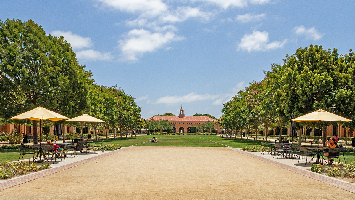
The core of the landscape is laid out in a cruciform pattern designed by architect Lincoln Masters in the Beaux-Arts style. Arranged along the perimeter of the axes, Spanish Colonial Revival structures are separated from each other by a series of symmetrical courtyards. Surrounded by parallel walkways and edged with rows of trees, hedges, and colorful arrangements of flowering shrubs, the central mall was laid out by San Diego parks superintendent John Morley. The mall is bookended by a tall spruce tree and a circular fountain. Beginning in 1939, harbor improvements added an additional 130 acres of filled land along the center’s east boundary, now partially occupied by the 45-acre NTC Park and Liberty Station esplanade, opened in 1993, that runs along the shore of an inlet. Linear greens extend the north-south axis past the historic core through newer, mixed-residential development, including a high school campus and military and civilian housing. Situated at the northwest corner of the site is the 15.5-acre, nine-hole Loma Club Golf Course, dating back to the 1910s and since redesigned. In 2000, the historic core of Liberty Station was listed in the National Register of Historic Places as the Naval Training Center Historic District.