This five-mile mixed-use towpath is in alignment with the northern portion of the Indianapolis Central Canal, originally constructed in the early nineteenth century. In 1836 the State of Indiana passed the Mammoth Improvement Act to expand eight major transportation projects within the state, including a planned 296-mile canal connector between the Wabash and Erie Canal near Logansport and the Ohio River in Evansville. After the more than eight-mile long Indianapolis section was completed in 1839, the state went into bankruptcy and the project was halted. While the canal’s transportation and shipping function was brief, it has since been utilized as the metropolitan area’s primary source of drinking water, and as fire protection and power generation for the growing city.
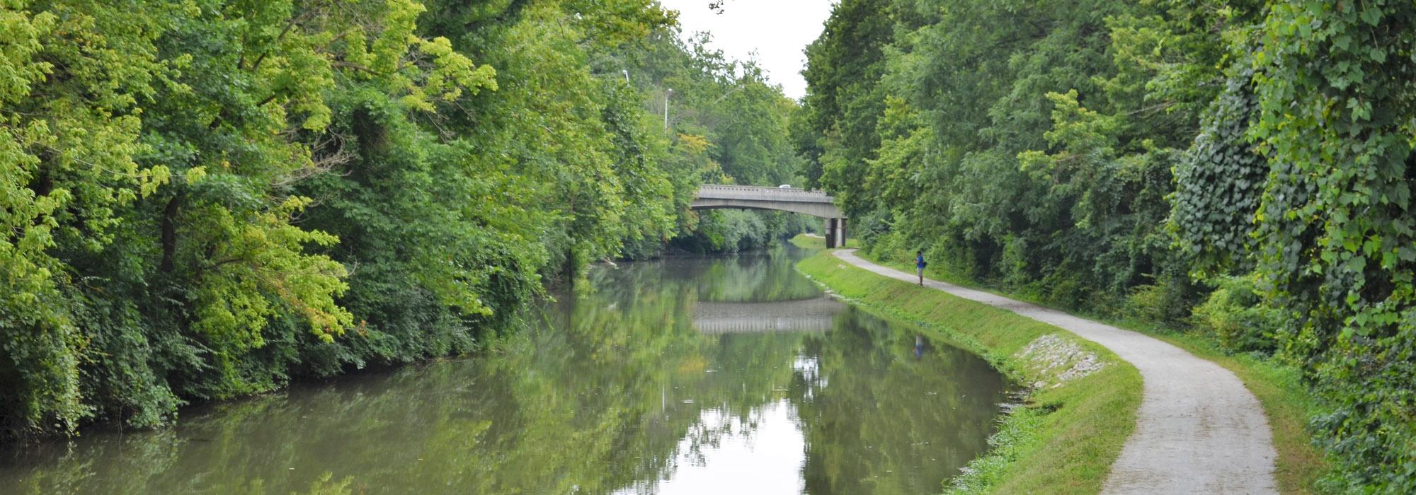
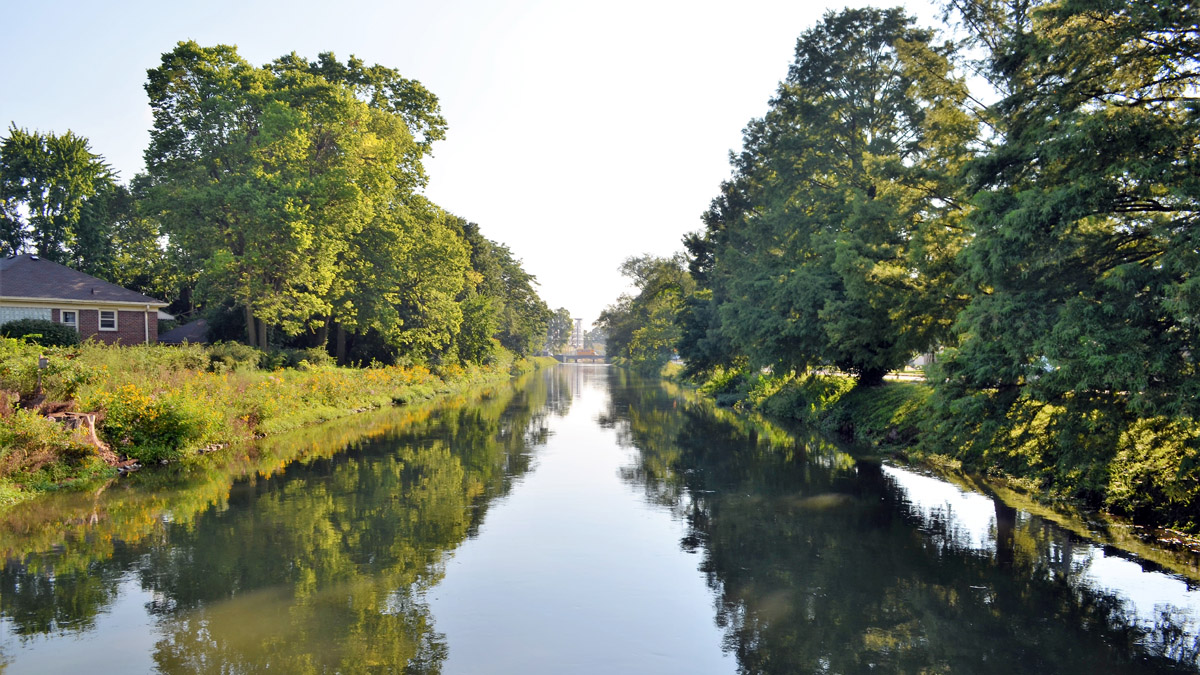
The crushed limestone trail runs alongside the right bank of the 40- to 60-foot-wide canal from its origins at the White River in Broad Ripple Village near 63rd Street, south to Riverside Park. Two iron bridges from the 1870s cross the canal to connect with Butler University, the Indianapolis Museum of Art and adjacent neighborhoods. The Central Canal retains its historic character and serves as an important urban wildlife habitat. The trail’s northern end provides connectivity to the eighteen-mile-long Monon Trail, while the southern portion terminates near Riverside Park and connects to the White River Greenway. Long range plans to extend the trail two-and-a-half miles south under Interstate 65 to connect with the downtown Canal Walk, Indianapolis Cultural Trail, and White River State Park are under consideration. In 1971 the canal was designated as an American Water Landmark and in 1994 it became part of the Indianapolis Greenways System.