Landscape Information
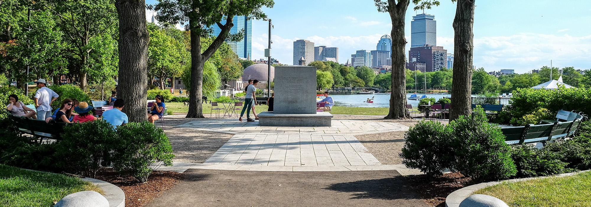
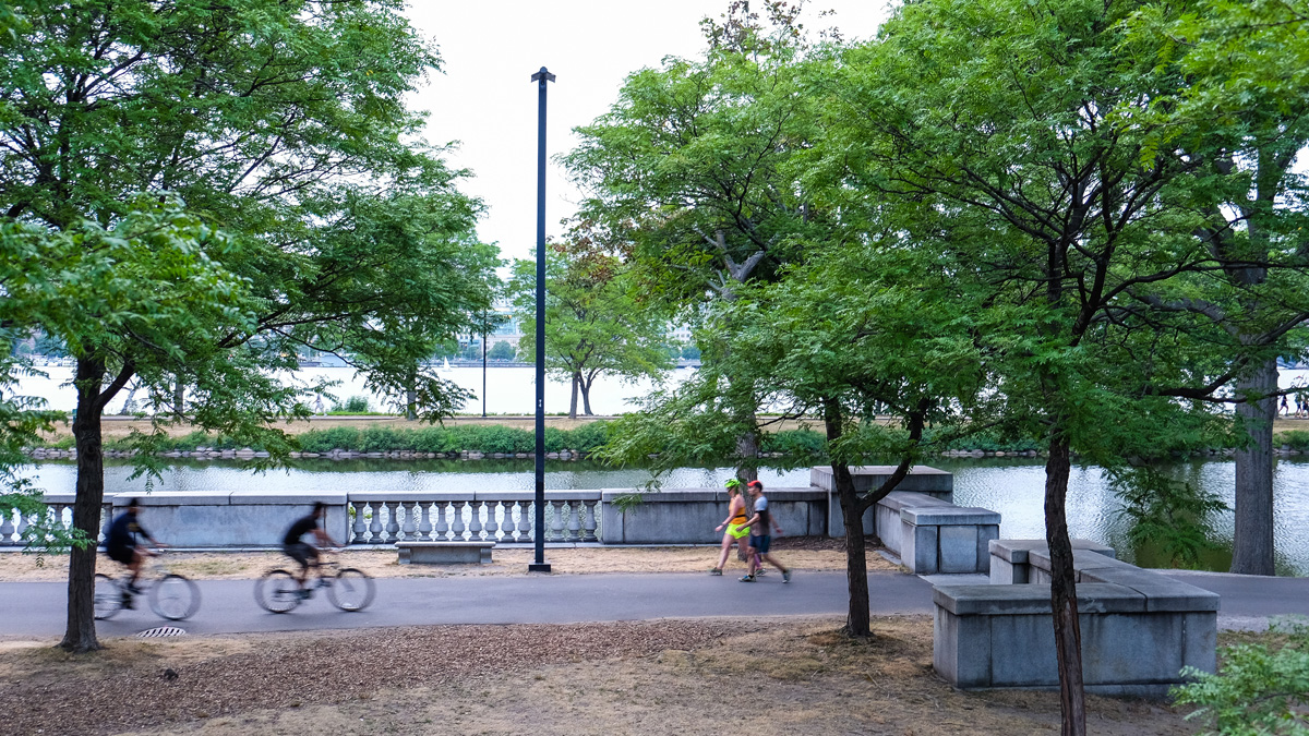
This linear waterfront park stretches from the Longfellow Bridge at its northeast end to the Harvard Bridge at its southwest end via the Back Bay and Beacon Hill neighborhoods. Originally known as the Boston Embankment, the park was created as part of the Charles River Dam project in 1910, which had been previously championed by landscape architect Charles Eliot. Eliot’s efforts were initially opposed by residents of the Back Bay neighborhood who feared a loss of views and property values. However, the proposal gained momentum in 1901 when lawyer and banker James Storrow organized a letter-writing campaign, and in 1903 the state legislature approved the project. In the 1920s and 1930s landscape architect Arthur Shurcliff designed expansions to the promenade, adding a lagoon, plazas, boat landings, and playgrounds. In 1941 the Hatch Memorial Shell, an outdoor concert venue, was constructed. Initially connected to the Emerald Necklace, the expansion of Storrow Drive and the creation of the Charlesgate Overpass in 1954 and 1966, respectively, limited connectivity. A pedestrian path extends the length of the park, tracing the Charles River shoreline, while a bicycle path traces the interior of the park, adjacent to Storrow Drive.
In 2001 community members formed the Esplanade Association to restore and enhance the declining esplanade. The Association has overseen various improvements including the installation of an ornamental garden, and ongoing efforts to restore Shurcliff’s original tree plantings. As part of the Association’s 2009 Esplanade 2020 vision, Halvorson Design Partnership, completed design work at the Charles Eliot Memorial, the Esplanade Playspace, and restored the Hatch Shell Oval Lawn.