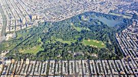
Consisting of 265 acres, this nature preserve is situated near the southwestern shore of Staten Island and was named for its white kaolin clay deposits that were mined for bricks and architectural terracotta in the nineteenth century. In 1951 Parks Commissioner Robert Moses proposed the transformation of the site’s freshwater wetlands into landfills to ready it for future development. Although his proposal was defeated, the land was further threatened between 1967 and 1976 by the construction of the 8.3-mile West Shore Expressway, which cut through the forest’s eastern edge. The site was officially established as a state park in 1980 due to extensive lobbying on the part of the advocacy group Protectors of Pine Oak Woods, founded in the 1970s to preserve the land, previously known as Pine Oak Woods.
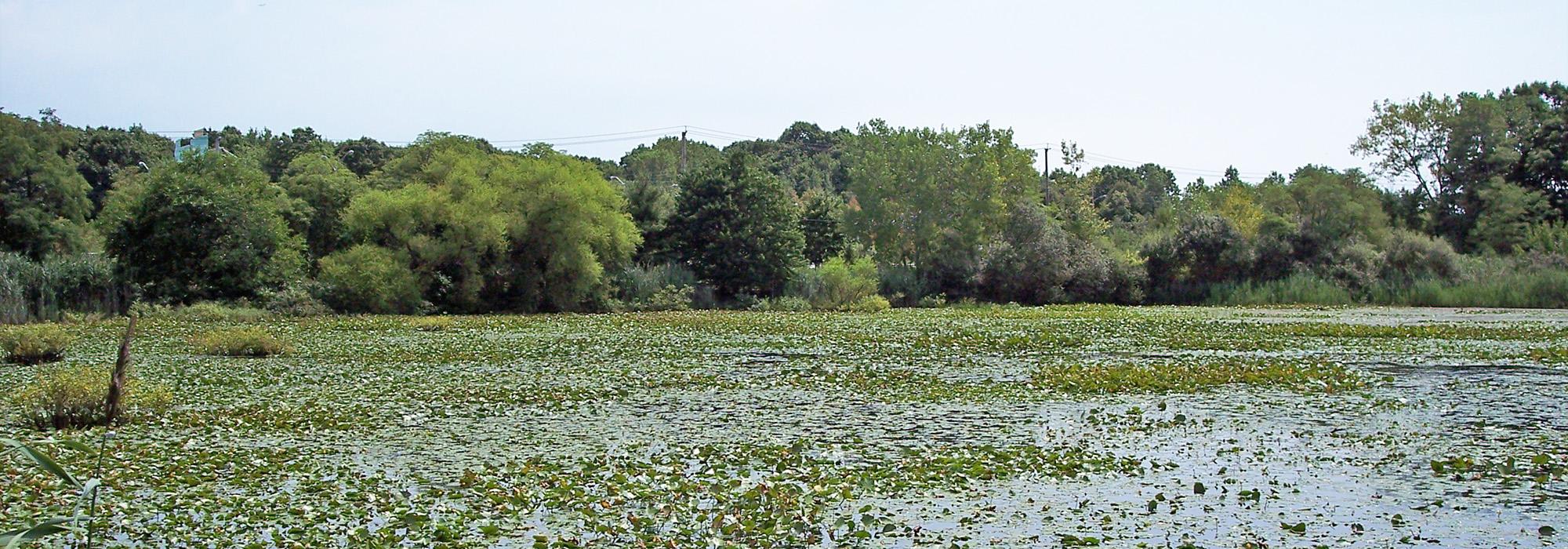
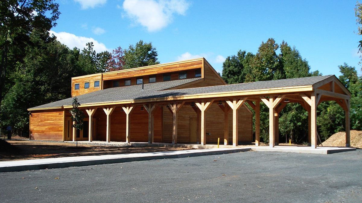
The preserve is bounded by Arthur Kill Road on the west, Bloomingdale Road and the West Shore Expressway on the east, and Englewood Avenue on the south. The site boasts a rich and varied history that includes a Leni Lenape inhabitation, an early European settlement, a free African American community known as Sandy Ground, and an early organic farming operation. Today the site’s history is conveyed by an on-site interpretative center, which opened in 2008, as well as the on-going operation of the 22-acre organic farm through a partnership with local schools. Numerous trails allow visitors to experience the preserve’s diverse flora and fauna, such as pitch pine, rare wildflowers, and a variety of bird species. The park also contains two state-designated protected areas consisting of 90 acres of freshwater wetlands and a 70-acre natural area, neither of which are publicly accessible.
Staten Island,
NY
United States