Landscape Information
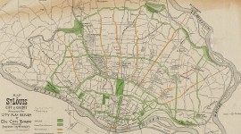
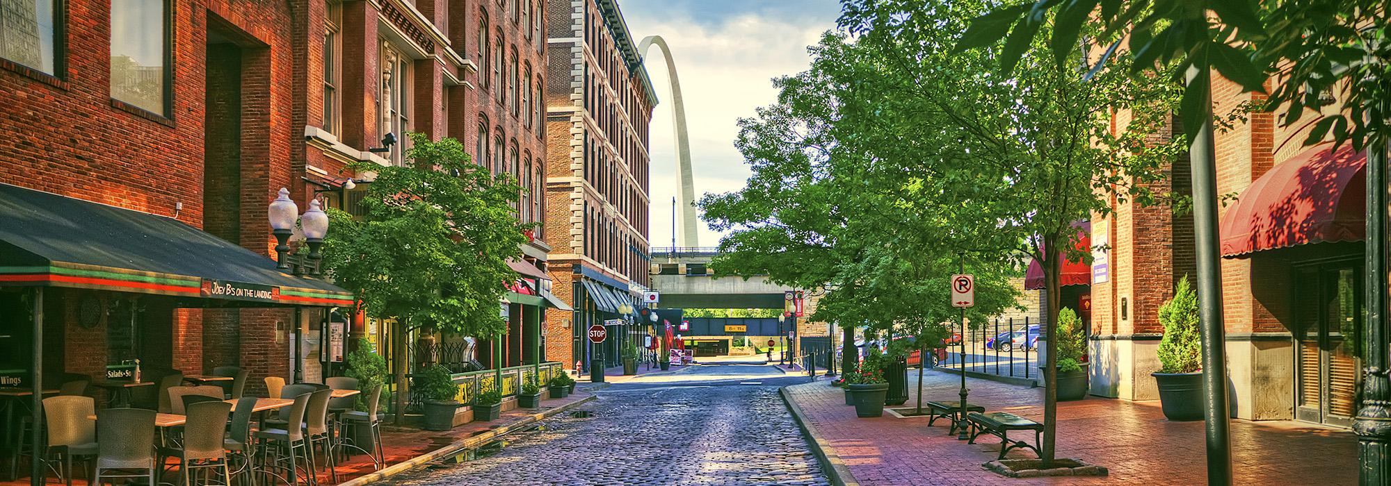
Many of the emblematic brick and cast-iron buildings that populate this historic 22-acre district date to the 1880s. During the Great Fire of 1849, which began on the steamboat White Cloud, the blaze quickly spread to adjacent docked watercraft and wooden warehouses, razing fifteen city blocks. Reconstructed cast-iron and brick warehouses quickly sprang up in Laclede’s Landing to support riverfront commerce crucial to the city’s expansion. The original city plan established by Auguste Chouteau and Pierre Laclède in 1763 was preserved, with short city blocks and an orientation towards the Mississippi River as its key eastern axis.
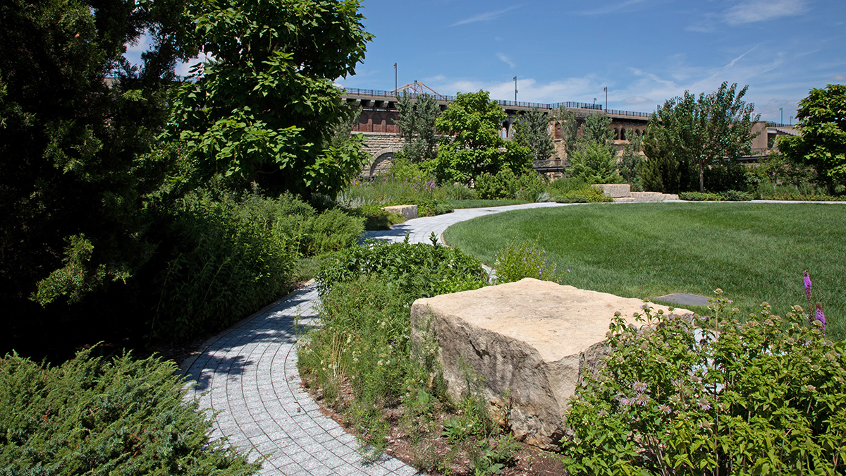
Presently, this is the only portion of the waterfront with most of its nineteenth century structures extant, a reminder of the city’s past as a commercial powerhouse. By the mid-1960s, local government determined the area’s compact footprint was unable to support contemporary industrial activity and designated it for redevelopment. A series of proposals came forth over the next decade to transform the Landing into a downtown destination, with Planning Design Studio leading master plan efforts. Streets running north-south feature original cobbled paving, while streets running east-west have been paved with concrete for improved transit. The brick-paved sidewalks are lined with street trees and historical light fixtures framing views towards the Gateway Arch and the Eads Bridge. The mixed-use district spans nine square city blocks just north of the Gateway Arch National Park. On the southern edge of the site lies the recently constructed half-acre park/plaza, the Katherine Ward Burg Garden, designed by Lamar Johnson Collaborative with support from Great Rivers Greenway, offering panoramic views of the Mississippi River. Laclede’s Landing was listed in the National Register of Historic Places in 1976.