Landscape Information
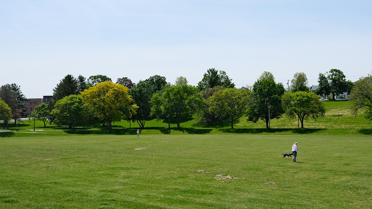
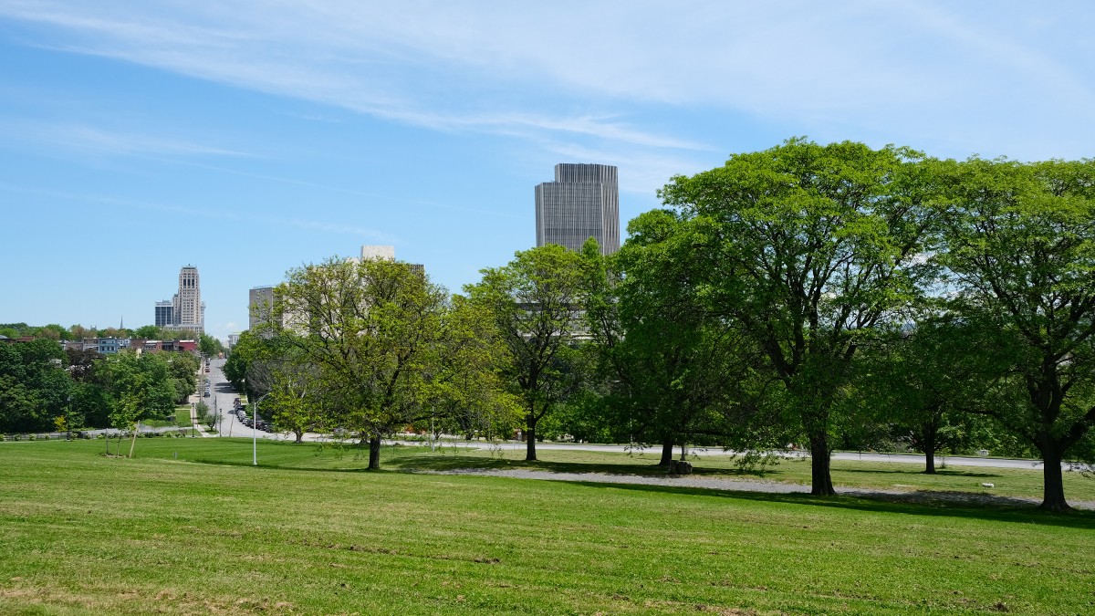
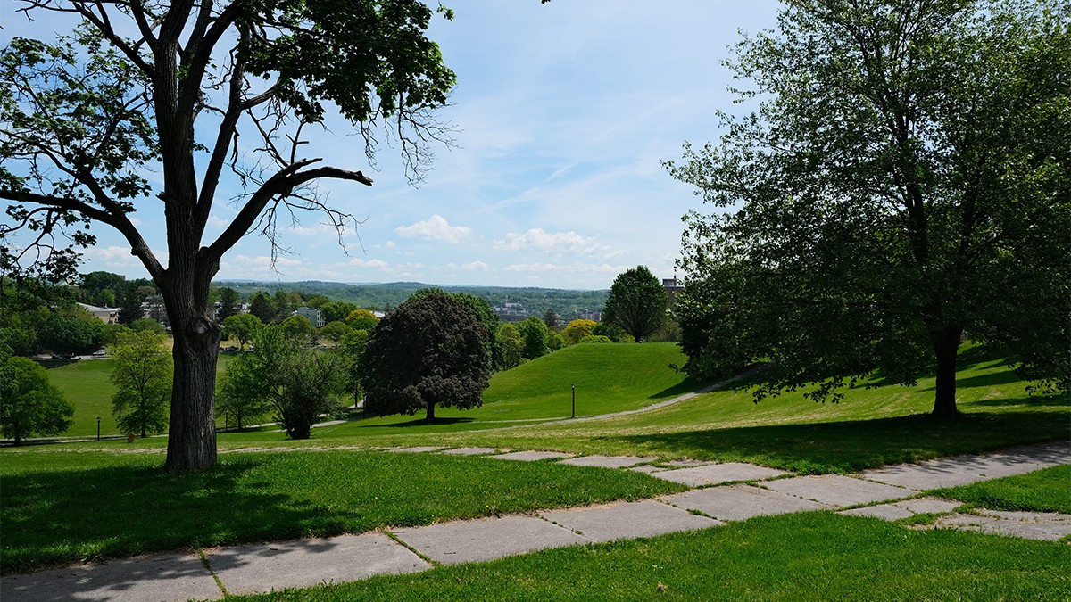
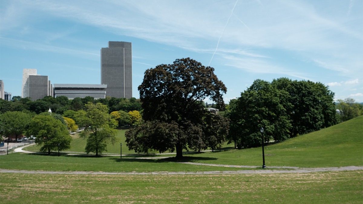
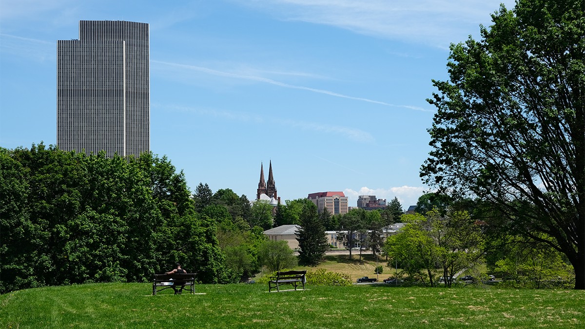
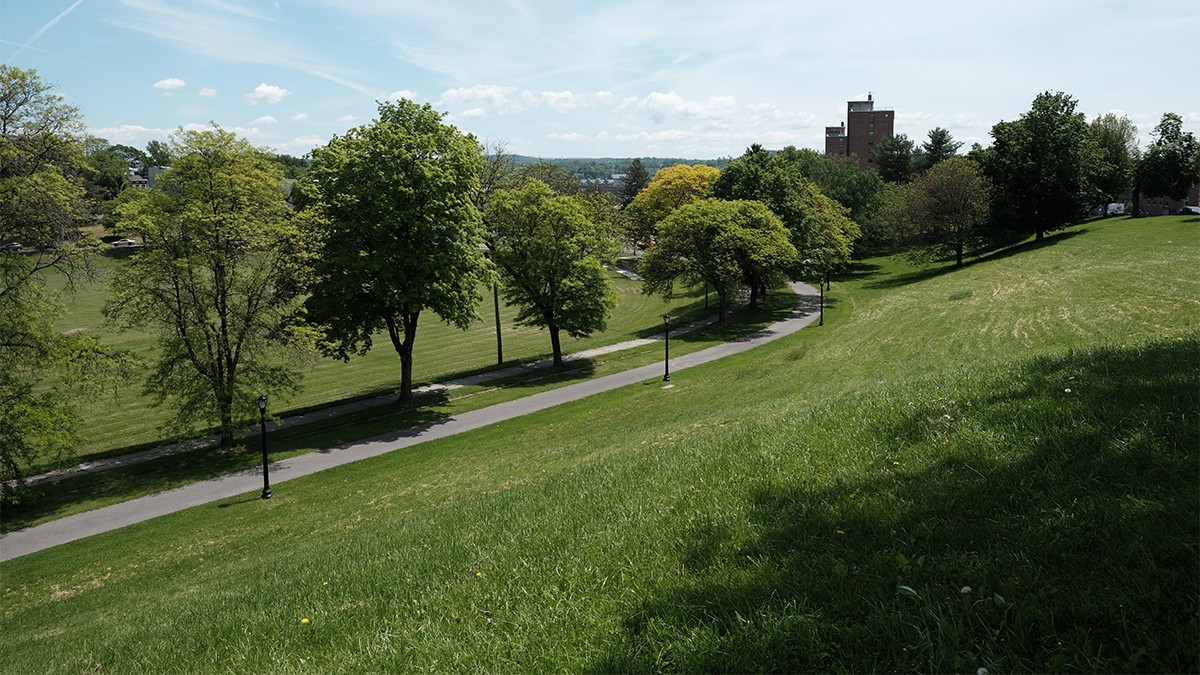
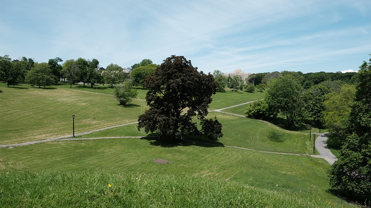
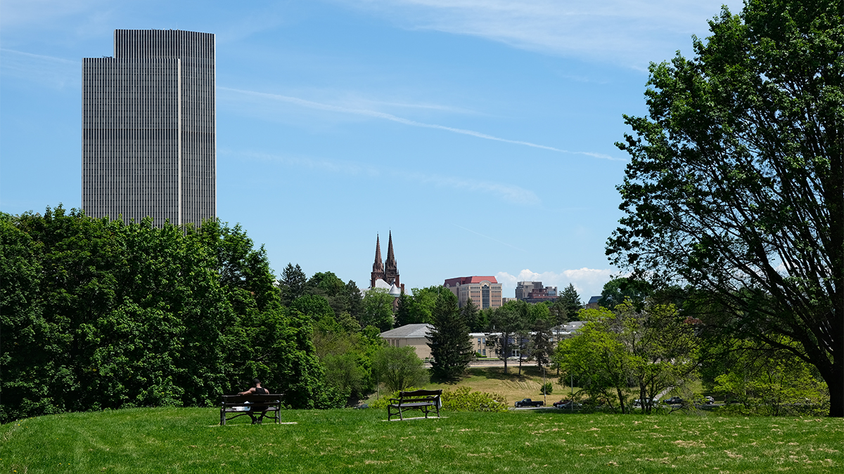
This irregularly shaped 67.2-acre park is located just southwest of Empire Plaza and the New York State Museum, approximately one-quarter mile west of the Hudson River. Framed by streets and traversed by curvilinear drives, the topographically varied park features a ravine formed by the Beaver Kill Creek, and a broad hill that affords sweeping downtown views.
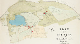
Bisected by a curvilinear, north-south drive, the park comprises distinct western and eastern sections that were developed in the nineteenth century as an estate and as an Irish immigrant community, respectively. In 1890 the city acquired the land and by the early twentieth century laid out drives on the former estate grounds. In 1913 the city engaged landscape architect Charles Downing Lay to prepare a master plan. Working in close collaboration with architect Arnold W. Brunner, Lay’s design retained much of the existing topography, extended the existing curvilinear drives eastward, and introduced recreational amenities throughout.
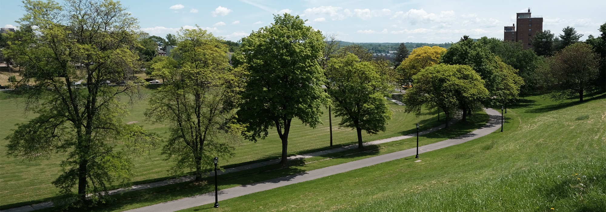
The park’s western section features a broad hill topped by a Modernist school (1955) and a modest Italianate structure (1852) designed by Andrew Jackson Downing and Calvert Vaux; the eastern section is characterized by an athletic complex nestled in the natural, amphitheater-like depression. The complex features a horseshoe shaped concrete pool (1931), Colonial Revival bathhouse (1930–1933), and athletic fields, framed by a drive and pedestrian path. A portion of the drive is planted with an allée of coniferous trees, providing enclosure for bathers. Lacking a perimeter fence, the park is defined by a continuous sidewalk framed by intermittent allées of maple and locust trees, and to the north by steep, densely canopied slopes.
In 2019 STIMSON landscape architects prepared an updated master plan. In 1976 Hall’s office was listed in the National Register of Historic Places and designated a National Historic Landmark. In 2017 the park was listed in the National Register of Historic Places.