Landscape Information
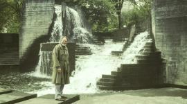
Located near the center of Yosemite National Park in California’s Sierra Nevada mountain range, Yosemite Falls consists of Upper Yosemite Fall, the middle cascades, and Lower Yosemite Fall. The falls are fed by Yosemite Creek before flowing into the Merced River, which snakes through Yosemite Valley (bypassing Yosemite Village). A destination since the late nineteenth century, the practice of selectively clearing vegetation to maintain views of the falls became a regular practice in 1890.
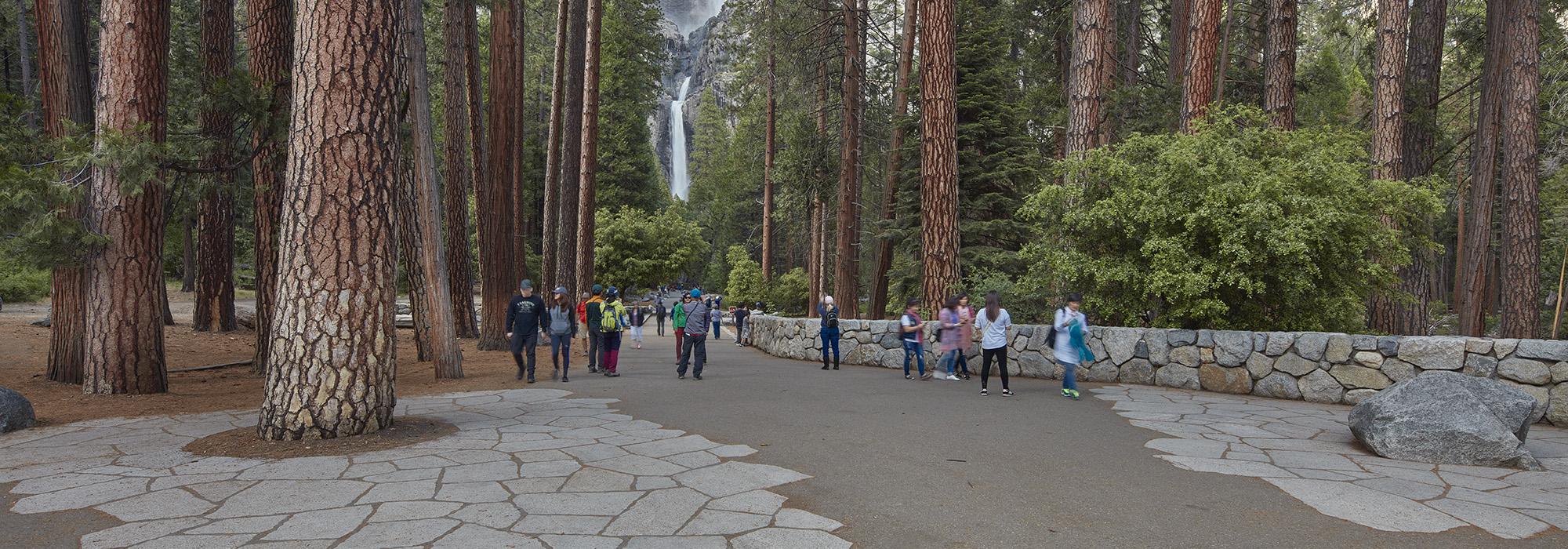
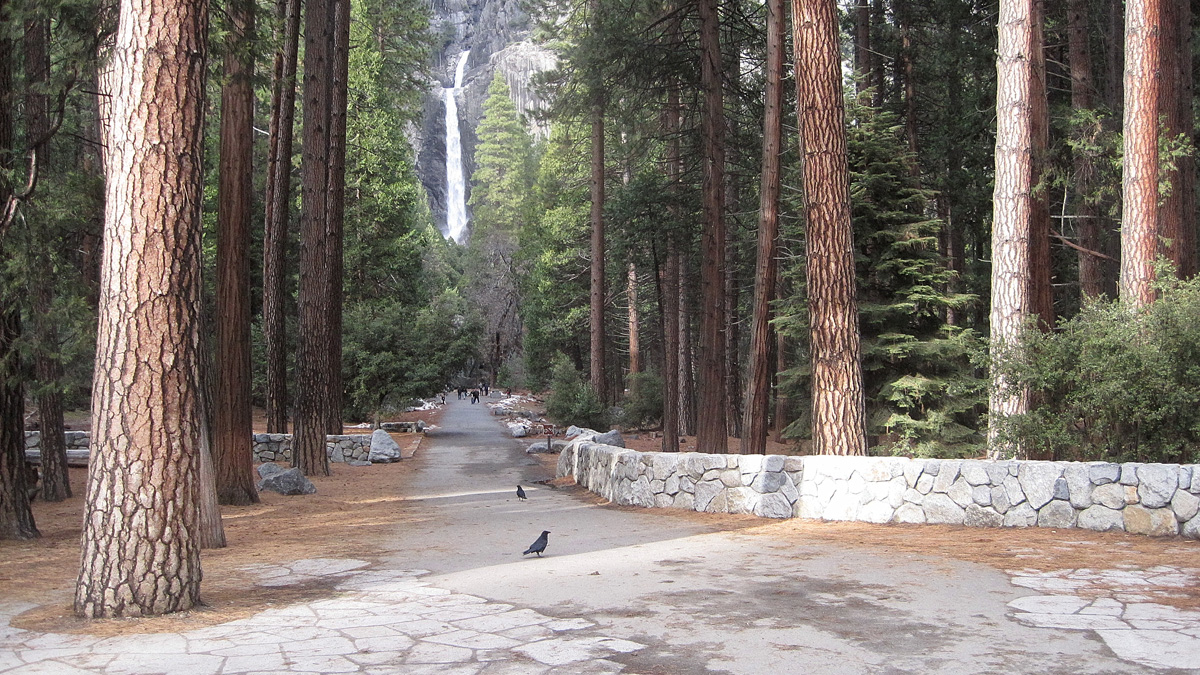
In 2002 landscape architect Lawrence Halprin was commissioned by the National Park Service to redesign the deteriorating pedestrian approach to the falls. Over the course of three years, Halprin worked on this career capstone project to improve visitor circulation and rehabilitate surrounding habitats. The design features granite, asphalt, and wood paths, with rustic style amenities that blended with the natural surroundings. A parking area was replaced with a small amphitheater, picnic tables, water fountains, and restrooms. At a terrace where the Lower Yosemite Fall comes into view, Halprin enlarged the platform and installed granite pavers with embedded boulders around the rim. Erosion issues near the terrace were remedied with additional boulders, while other sensitive areas downstream were shored up with native plants. Several dozen trees were selectively removed to enhance the view along the processional approach, and a bronze relief map depicting geologic details was placed along the main path. Yosemite Valley, inclusive of the falls, was listed in the National Register of Historic Places in 2006.