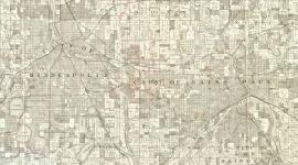
Landscape Information
In 1970, a history graduate student started a grassroots campaign to clean up Lucy Wilder Morris Park. The half-acre park, established by the Daughters of American Colonists in 1924, commemorated the purported location where Father Louis Hennepin first viewed Saint Anthony Falls in 1680. The overgrown site was wedged between a power plant and railroad tracks approaching the Great Northern’s Stone Arch Bridge.
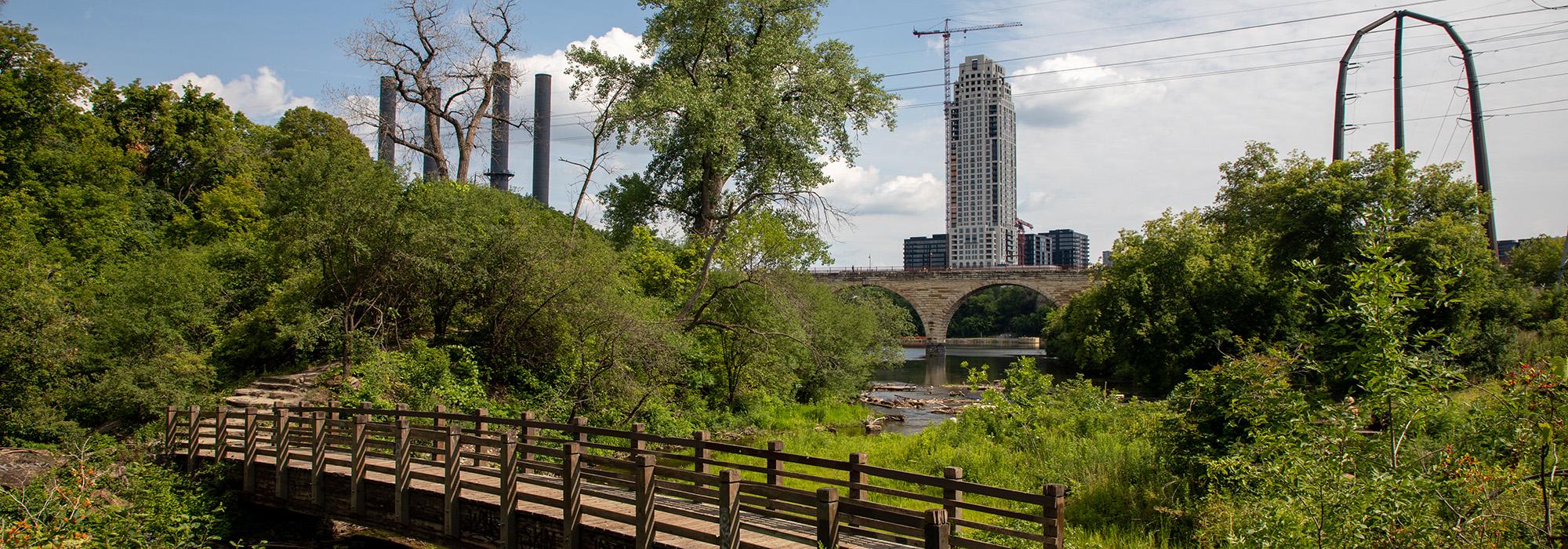
The campaign expanded in 1971-73 to an adjacent industrial storage yard and tailrace channels below, which became Father Hennepin Bluff Park. The city and park board hired landscape architects Sasaki Associates, which planned and designed the eight-acre park from 1977-79. Urban planner Kenneth Kreutziger was Sasaki’s project manager and William Firth the landscape architect. The eight-acre park officially opened in 1980, one of the city’s earliest downtown waterfront revitalization efforts.
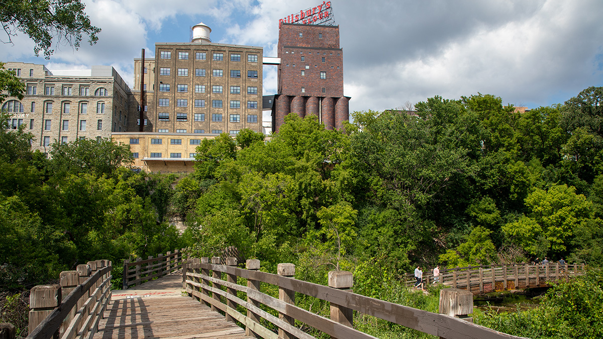
The park has dramatic elevational changes, straddling a limestone outcrop along the Mississippi River’s East Bank. It has two, distinct sections. The bluff-top section with paved paths, seating, a Modernist pavilion, clusters of deciduous and evergreen trees, and lawn expanses lawn edged by manmade berms. A wood stairway descends about fifty feet to the second section on the downstream end of Hennepin Island. The channel once separating the island from the mainland was filled in long ago, but vestiges remain. These narrow backwaters drained tailraces and waste from industrial facilities harnessing the waterpower from Saint Anthony Falls, which continues to serve two hydroelectric plants. The rugged terrain of the peninsulas/islands is traversed by pedestrian bridges, trails, and stairways. The park is part of the 71-acre Central Mississippi Riverfront Regional Park.