In 1993 a coalition of civic, environmental, and government organizations established this wilderness preserve, approximately twenty miles northwest of downtown San Antonio, to protect the Edward’s Aquifer, the city’s main water supply. Situated on the edge of the Balcones Escarpment above the aquifer’s recharge zone, the karst landscape allows rainwater to flow from the surrounding canyons into the groundwater. Originally comprising 4,717 acres, the preserve has grown to incorporate more than 12,000 acres through a series of acquisitions managed by the Texas Department of Parks and Wildlife.
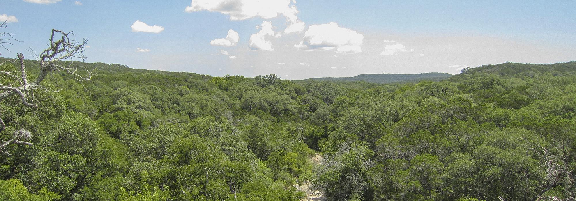
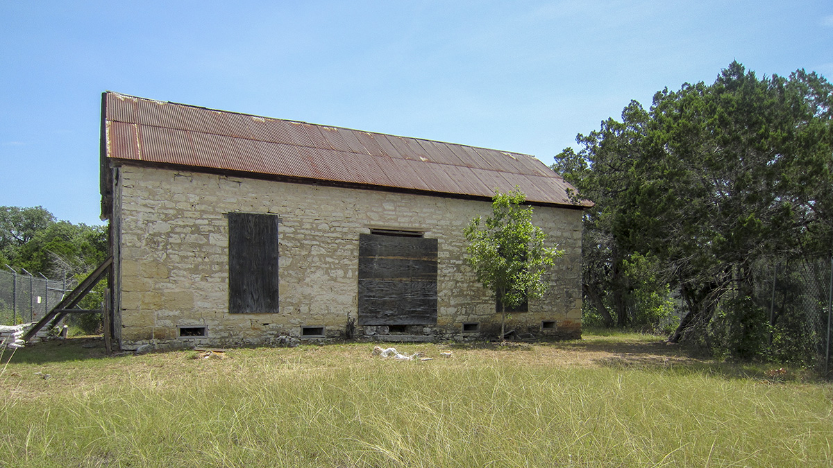
The preserve’s topography ranges from gently rolling grasslands to rugged limestone outcroppings and granite hills. A forested strip of land separates the relatively flat, southern front-country from the rugged northern backcountry. Opened as a public park in 2005, the preserve contains more than 40 miles of hiking and biking trails and 23 campsites. The Joe Johnston Route, named after the nineteenth-century Texan explorer, provides access to the Wildcat Canyon Ranch buildings, the Zizelmann house (constructed in 1882), and 110-million-year-old theropod and sauropod dinosaur tracks. The Far Reaches Trail affords dramatic views at the Chula Vista and Sotol overlooks. A variety of animal species thrives here, including nesting golden-cheeked warblers, white-tailed deer, wild turkeys, armadillos, porcupine, bob cat, coyote, mountain lion, and the rare feral pig.