Landscape Information
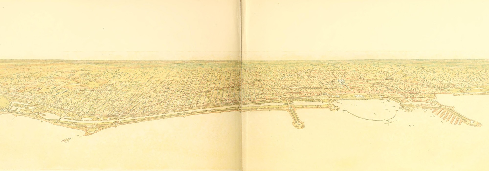
Sponsored by Chicago’s Commercial Club and drafted by Daniel H. Burnham and Edward H. Bennett between 1906 and 1909, the Plan of Chicago (also known as the Burnham Plan), epitomizes City Beautiful ideals. The detailed plan exhibits Beaux-Arts principles of axiality and architectural monumentality on a metropolitan scale, which Burnham first employed at the World's Columbian Exposition of 1893. Burnham’s comprehensive vision advocated street widening, new parks, the reorganization of railroad and harbor infrastructure, and the erection of grand public buildings. Although only aspects of the plan were realized, Burnham’s civic-minded design guided Chicago’s planners throughout the twentieth century.
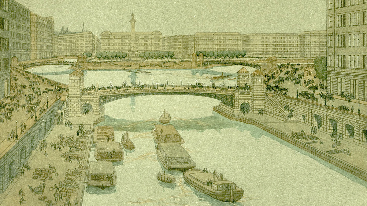
Because he considered Chicago an urban center in a larger region, Burnham’s plan suggested arterial roads, a highway system, new railway terminals (if which only Union Station was built), and the straightening of the South Branch of the Chicago River. Parks, playgrounds, and natural areas were expanded, as was the boulevard system. Burnham recommended that parks on the shoreline be increased by infill, creating 25 miles of continuous open space. The improvements along Lake Michigan are the most recognizable achievements of the plan. These were often guided by Bennett, who was a consulting architect for the Chicago Plan Commission until 1930. The plan’s vision for Grant Park as a grand, Beaux-Arts cultural center was realized in the 1930s, when Bennett’s firm completed Buckingham Fountain and land expansion led to the creation of a cluster of new museums and cultural institutions, now known as the Museum Campus.