Landscape Information
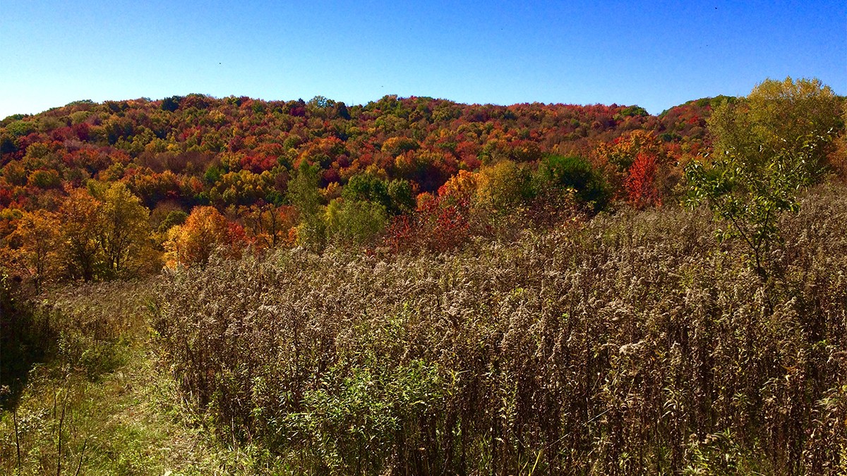
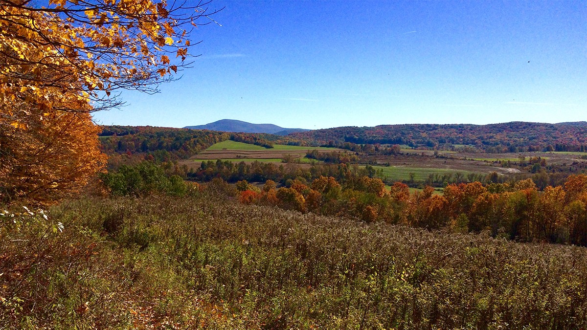
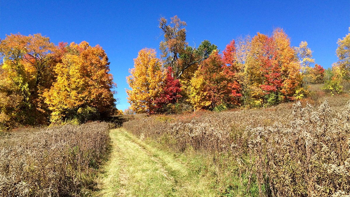
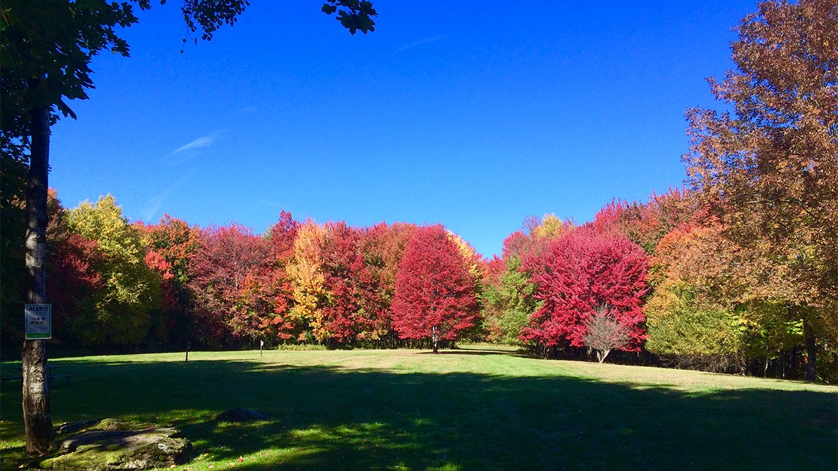
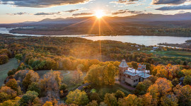
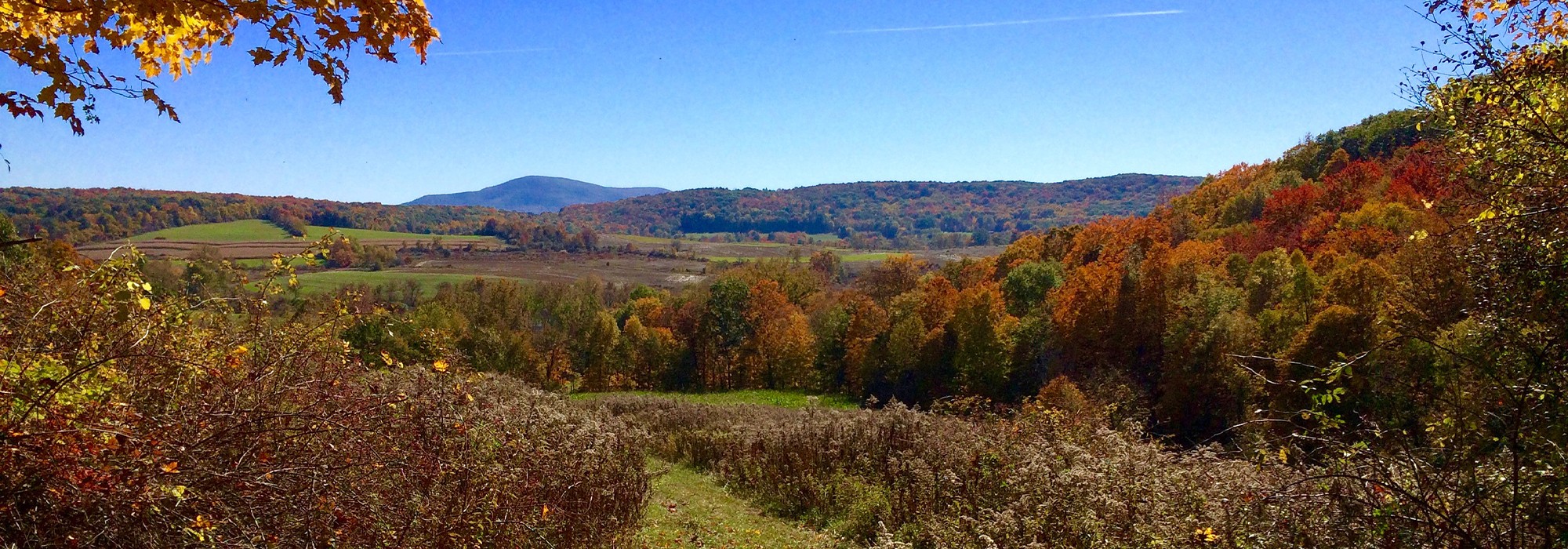
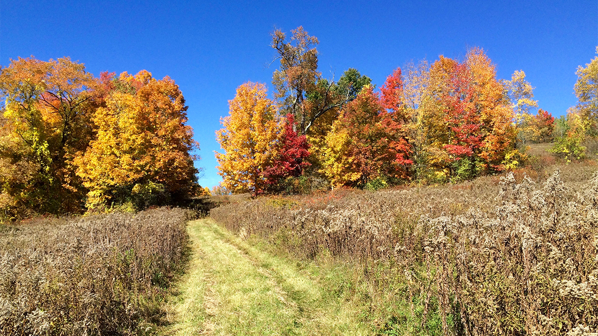
Approximately 2.5 miles from the Vermont border, this 276-acre landscape is bisected by the Walloomsac River and is characterized by a broad, steep slope along the north riverbank and a modest ridge to the south accessible by a 2.7-mile trail network. The topographically varied site preserves and commemorates the location of the Battle of Bennington during the Revolutionary War, when American troops rebuffed a British attempt to gather supplies from a nearby arsenal in Bennington, Vermont, for an assault on Albany. Except for the floodplain, which was under cultivation, the site was heavily forested at the time of the battle and in the 1930s was cleared for the construction of State Route 67, which runs along the river’s northern edge. From Route 67, the curvilinear Bennington Battlefield Road leads visitors northeast to a hilltop affording panoramic views of farmland and deciduous woodlands. At the center of this highpoint are multiple interpretative marks including a table-mounted bronze relief map ringed by interpretive signage. The immediate area is surrounded by downward sloping lawns that meet the enclosing woodlands. The access road and interpretive highpoint also includes a comfort station, visitors center, flagpole, and reconstructed split rail fencing.
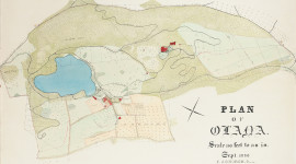
To the southeast, a modern utilitarian bridge traverses the Walloomsac River near the site of a small cabin that existed at the time of battle. In the 1840s the area developed into the Barnett family homestead with a Neoclassical structure at its center. After the State of New York purchased the battle area in 1924, it became the Bennington Battlefield Caretaker’s House, located north of the river facing Caretaker’s Road and a decommissioned rail line.
Bennington Battlefield State Historic Site was listed in the National Register of Historic Places in 1966, and it was designated a National Historic Landmark that same year. The battlefield is located within the Maurice D. Hinchey Hudson River Valley National Heritage Area, designated in 1996.