Landscape Information
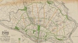
Encompassing approximately 180 acres, most of this parkland was once part of the common land of Carondelet village. Public campaigns in the early 1870s resulted in the City of St. Louis purchasing land for Carondelet Park in 1874. Just over a mile west of the Mississippi River, the park is bounded by Holly Hills Boulevard, Loughborough Avenue, Interstate 55, and Leona Street.
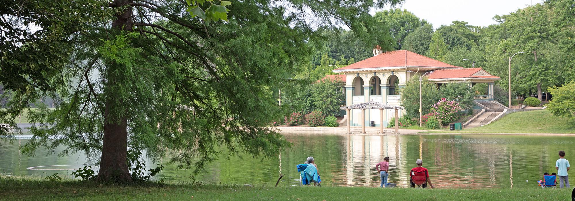
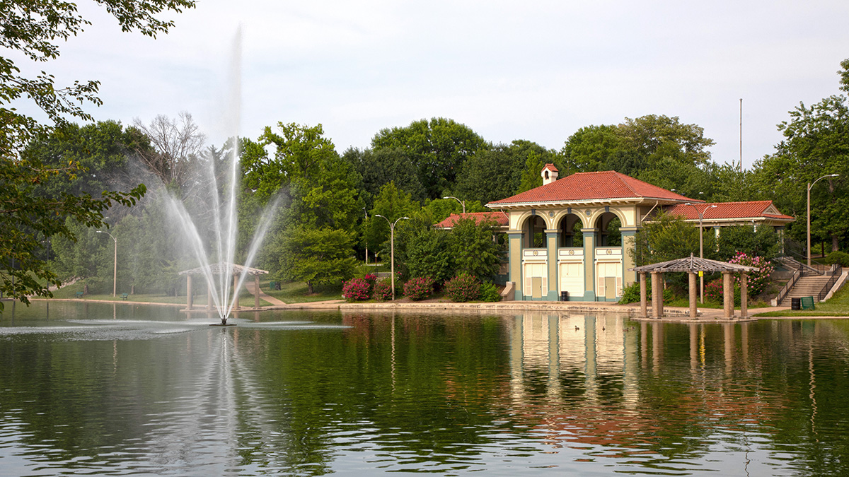
An undulating topography, shaped by underground caves and sinkholes, creates a Picturesque effect augmented by early city-led park development. Scenic drives, introduced in 1890, follow the ridge lines winding through the landscape. A bridge entering the park’s north side was constructed as part of an effort to link major parks and cemeteries along a singular artery, a project overseen by George Kessler from 1902 to 1909. Nine sinkholes were joined in 1913 to form Horseshoe Lake, now one of two lakes. Most of the park is open lawn, with scattered mature oak and hickory trees providing shade. Most structures in the park were built before the 1920s, including the Boathouse (1918), Music Stand (1898) and Music Pavilion (1898). The wood-frame Alexander Lyle House (circa 1850) predates the park and belonged to a family who had occupied part of the land since pioneer days. It was first used as the park director’s residence before being converted into a senior center in 1931.
This third-largest park in the city offers opportunities for both active and passive recreation, including tennis courts, softball, baseball, and soccer fields, as well as playgrounds, stocked fishing lakes, a recycling center, picnic areas, and a 1.6-mile bicycle path. A master plan developed by H3 Studio in 2003 proposed ecological and structural upgrades and improved connections with surrounding communities but was not fully implemented. The one-mile Carondelet Connector, opened by Great Rivers Greenway in 2014, links the park’s trail system to the nine-mile River des Peres Greenway. A recreation center operated by the YMCA is located at the east end of the park adjacent to Interstate 55.