


Landscape Information
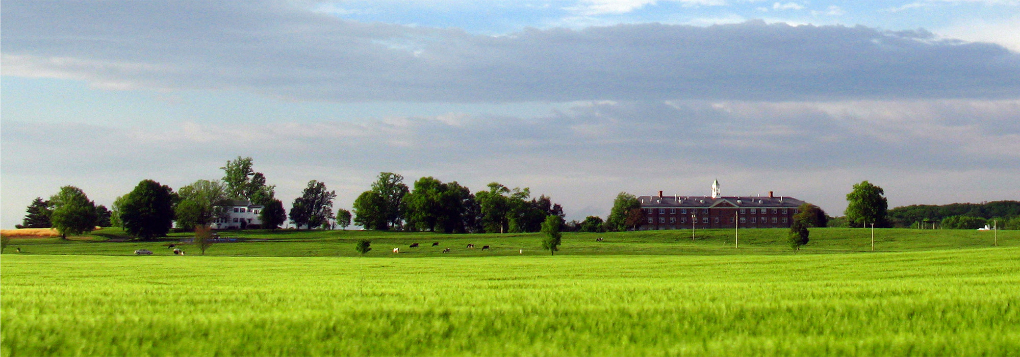
Measuring approximately 6,500 acres of rolling, rural terrain less than ten miles northeast of Washington, D.C., this is one of the largest research facilities of the Agricultural Research Service—the main research agency of the U.S. Department of Agriculture (USDA). The Beltsville Agricultural Research Center (BARC) comprises five, largely contiguous parcels that range in size from 460 to 2,980 acres.
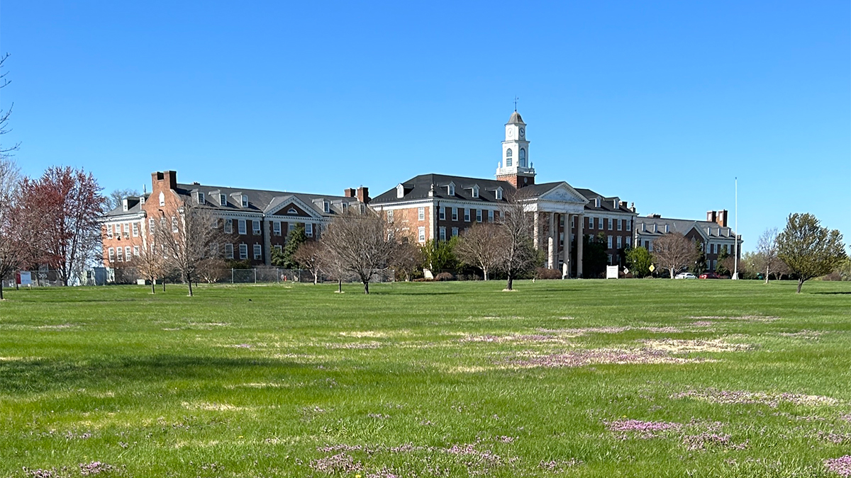
In 1910 the USDA purchased the first parcel, measuring 475 acres, and gradually acquired more acreage. Twenty-three years later, the facility rapidly expanded with the support of multiple New Deal programs. In 1933 the government engaged landscape architect A. D. Taylor and architect Delos Smith to create a master plan for sections for use by the Bureau of Plant Industry (now Central and East Farms). They recommended a network of curvilinear roads, of which Powder Mill Road was constructed to serve as the facility's central spine. Two years later National Park Service landscape architect Malcolm Kirkpatrick prepared a master plan for a different parcel (now North Farm), which was not fully implemented. In the late 1930s clusters of Georgian Revival style buildings were built throughout. On the North Farm several were constructed facing an arcing drive and gently sloping tear-drop shaped lawn; on the Central Farm a symmetrical arrangement of buildings was situated fronting a curvilinear drive.
The facility reached its peak size (12,461 acres) in 1938 and five years later a site-wide soil conservation plan was implemented. Throughout the latter half of the twentieth century, acreage was sold or transferred to other government agencies and private institutions. In 1998 Robinson & Associates and landscape architects Rhodeside & Harwell prepared a historic and comprehensive site survey, and determined BARC eligible for listing in the National Register of Historic Places. Today BARC comprises expansive cultivated fields, densely canopied woodlands, and includes nearly 700 buildings and structures.


