Landscape Information
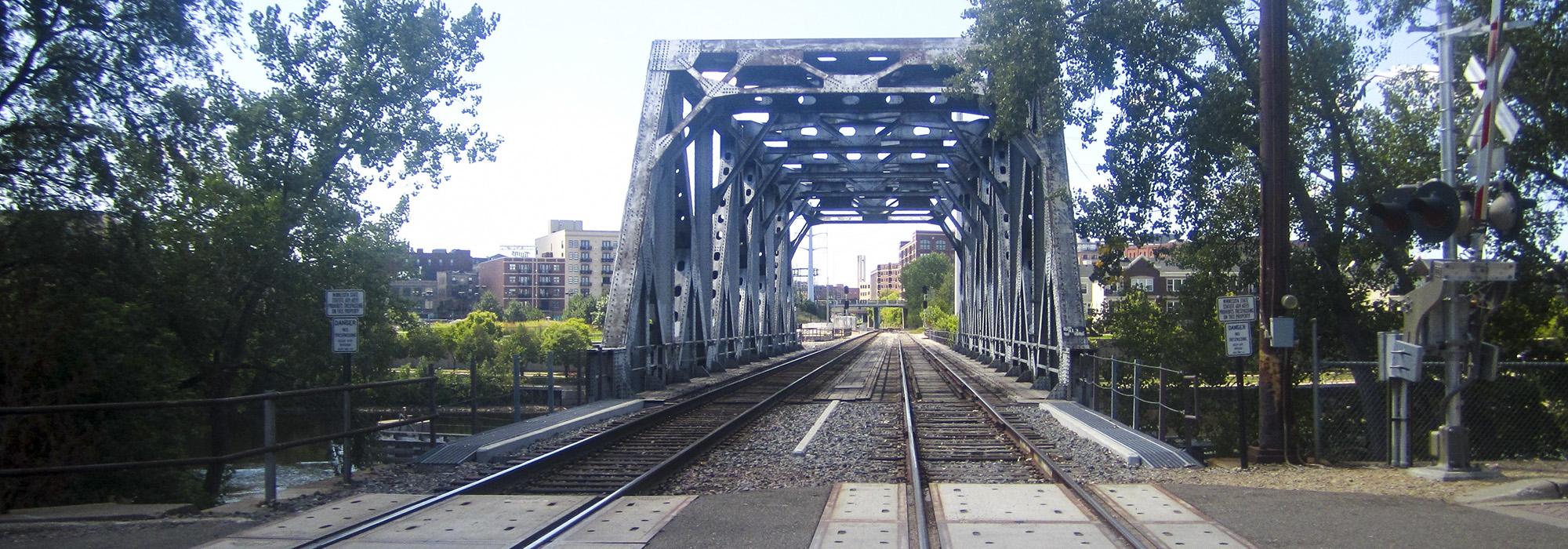
The Dakota peoples camped on the island long before European explorers arrived in the 1600s. Treaties in the mid-nineteenth century opened Euro-American settlement in the area. Residents of Saint Anthony and Minneapolis, fledgling communities on opposite sides of the Mississippi, used the island as a steppingstone to bridge the river in 1854–1855.
Recognizing the island’s natural beauty, citizens tried to make a park without success, and the land ultimately became industrial, commercial, and residential. By the early 1960s, riverfront industrial activities declined, and buildings deteriorated, stimulating another initiative to create a park. In the following decade, the three-acre “Bicentennial Park” was established on the island’s downstream end on land acquired by the city in 1944. This land was transferred to the park board in 1978, the same year the Riverfront Development Coordinating Board advanced the idea of making the entire central riverfront a park.
The park grew to almost 27 acres, including a tiered amphitheater and the former Durkee-Atwood Complex, started as a boiler works in 1893. In the late 1980s, the property was renovated into the Nicollet Island Pavilion, an event center, with planning by Collaborative Design Group and Winsor/Faricy Architects. Martin & Pitz Associates designed the landscape.
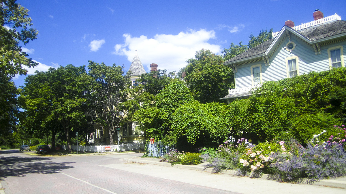
In addition to parkland, the island is home to DeLaSalle High School, historic residences, the Nicollet Island Inn (originally the Island Sash and Door Factory), and the landmark Grain Belt Beer sign. Most land is owned by the park board and leased to occupants. The island was listed in the National Register of Historic Places in 1971 as part of the Saint Anthony Falls Historic District.