

Landslide® 2017: Open Season on Open Space – The Cultural Landscape Foundation’s Thematic Report about Nationally Significant Landscapes Threatened and At-Risk
Media Contact: Nord Wennerstrom | T: 202.483.0553 | M: 202.225.7076 | E: nord@tclf.org
Includes sites protected under the Antiquities Act and others threatened by confiscation, development, energy/resource extraction, and other incompatible uses.
Washington, D.C. (October 12, 2017) – The Cultural Landscape Foundation (TCLF) today unveiled Landslide, its annual thematic report about threatened and at-risk landscapes. Landslide 2017: Open Season on Open Space focuses on nationally significant sites, large and small, throughout the United States, including sites protected under the Antiquities Act and those threatened by confiscation, development, energy and resource extraction, and other incompatible uses. The sites, selected from more than 200 applications, range from Greenacre Park in Midtown New York City, a Modernist gem that could be engulfed in shadows, to Civil War-era Fort Negley Park in Nashville, TN, where a mixed-use development is proposed for 21 of the park’s 55 acres, and the Boundary Waters wilderness area in northeastern Minnesota, where mining operations could leech dangerous effluent into the waterways. Additional sites include Chicago’s Jackson Park, a portion of which has been confiscated for the Obama Presidential Center, and the parks of New Orleans, which are being privatized in piecemeal fashion. Illustrated narratives about all the sites, along with information about what people can do to help, are available on the Landslide 2017: Open Season on Open Space website.
First issued in 2003, Landslide has highlighted more than 300 significant at-risk parks, gardens, horticultural features, working landscapes, and other places that collectively embody our shared landscape heritage. Landslide designations have resulted in advocacy that has saved numerous sites. Moreover, once a site is designated a Landslide it is monitored by TCLF.
“Open space is too often treated as a void, absent any cultural significance and waiting to be filled,” said TCLF’s President & CEO Charles A. Birnbaum. “This can lead to incompatible uses ranging from resource extraction to development, and outright confiscation of parkland held in public trust, which threatens park equity and equal access for all.”
The thirteen entries in Landslide 2017: Open Season on Open Space:
The Antiquities Act of 1906
Following President Trump’s April 26, 2017, Executive Order to review all 27 national monuments over 100,000 acres declared since 1996. On August 25, 2017, Interior Secretary Ryan Zinke submitted a report to the president recommending a change in the management at ten monuments, including the reduction in size of four monuments and two marine sanctuaries. Six monuments would not be affected and the status of the remaining eleven sites has yet to be determined. The move could open up the nationally significant monuments to logging, mining, and other uses that could prove damaging.
CA - San Jose, Coyote Valley
The 7,400-acre Coyote Valley, located near Silicon Valley, has a long agricultural history and much of the land continues to be actively farmed, while also serving as an essential wildlife corridor that provides critical habitat. Historically, these are the ancestral lands of native peoples, the Amah Mutsun and the Muwekma Ohlone. Coyote Valley is the largest undeveloped landscape overlaying Silicon Valley’s groundwater aquifer and provides 2,500 acres of floodplain to mitigate flooding. San Jose’s long-term planning calls for the northern portion of Coyote Valley, the most important in terms of water resources and wildlife, to be developed.
IL - Chicago, Jackson Park
There are two substantial threats to this park, which was designed by Frederick Law Olmsted, Sr., and Calvert Vaux. Listed in the National Register of Historic Places, the park has been held in public trust for more than 150 years. Approximately 21 acres have been confiscated for use by the Obama Presidential Center, a privately operated facility; up to five more acres across the street in the neighboring Olmsted and Vaux-designed Midway Plaisance are being sought for a 450-car above-ground parking structure (Jackson Park, the Midway Plaisance, and Washington Park are the only network of Olmsted and Vaux-designed parks outside of New York State). There is also the proposed merging and quasi-privatization of the eighteen-hole Jackson Park golf course with the adjacent nine-hole South Shore Cultural Center course.
LA - New Orleans Parks and Open Space System
Unlike most cities in the United States, New Orleans does not have a dedicated parks department to oversee its parks. In addition, the parks are underfunded, leading to inadequate maintenance. Consequently, stewards of individual parks are allowing for-profit enterprises to confiscate and privatize sections of the city’s parks. Significantly, there is effectively no meaningful public oversight or input into the city’s management of its parks.
MA - Boston, Boston Common
The state’s 1990 shadow law restricts the amount of shadow that can be cast over the Boston Common and adjacent Public Garden. On July 28, 2017, Governor Charlie Barker, with support from Boston Mayor Martin J. Walsh, signed a precedent-setting exemption to the shadow law, thus removing a significant obstacle to the construction of a 775-foot-tall, 55-story condo and office complex that would cast an excessive amount of shadow over the Boston Common and Public Garden. The project, to be constructed on former city-owned land the city sold for $153 million, is currently being reviewed by the Boston Planning and Development Agency.
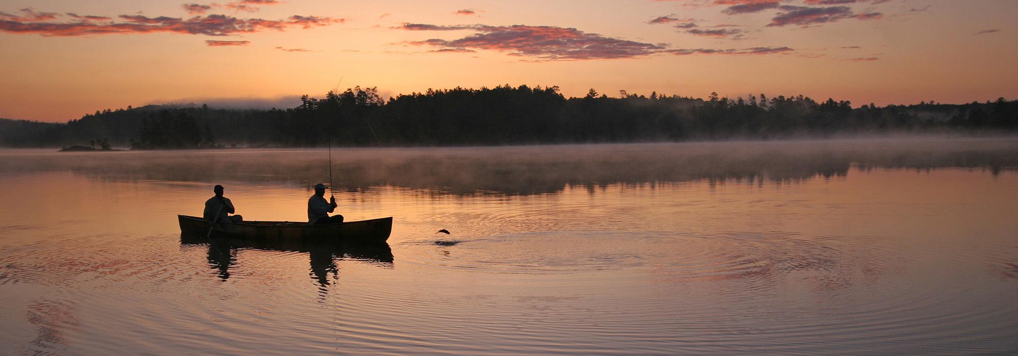
MN - Boundary Waters
The Boundary Waters in northeastern Minnesota has been managed by the National Forest Service since 1909 and was formally designated by the U.S. Congress as the Boundary Waters Canoe Area Wilderness in 1964 under the Wilderness Act. It encompasses more than 1.1 million acres of clean water and unspoiled forests, including more than 1,175 lakes and more than a thousand miles of rivers and streams. It borders Canada's Quetico Provincial Park, also a wilderness area, and collectively the two areas cover approximately two million acres. Proposed mining along the southwestern border of this massive site could leech dangerous chemicals into the water system.
NY - New York, Battery Park City
This groundbreaking and uniformly praised complex built on landfill in the Hudson River, along Manhattan’s southern end, represents an exceptional collection of 25 parks designed by leading landscape architects, architects, and artists. In the aftermath of Hurricane Sandy, which inundated low-lying portions of the northeast, a proposal has been put forward by the Battery Park City Authority to address resiliency concerns at one of the parks, Robert F. Wagner, Jr., Park, which was designed by landscape architect and project lead Laurie Olin (with Hanna/Olin), horticulturist Lynden Miller, and architects Machado and Silvetti Associates. Park advocates are concerned that Wagner Park, which sustained relatively little damage during the hurricane, is being redesigned to accommodate a large revenue-generating facility, and that actions to monetize other parks could be planned.
NY - New York, Greenacre Park
This small park – only 60 feet wide by 120 feet deep – in Midtown Manhattan in New York City opened in 1971 and provides an oasis within the city. Greenacre Park is known as a “vest pocket park,” a type of small-scale urban park that usually includes design elements like hard surfaces, moveable furniture, water features (often to drown out the noise of the city), and potted displays of annual plantings. Greenacre Park is a carefully calibrated work of art that integrates grade changes and spatial orientation with light and sound. The New York City Council has rezoned the Greater Midtown East area, which includes Greenacre Park, to allow for taller buildings that could double the number of hours of shadow cast over the park, which would fundamentally alter a key design element.
RI – Providence, Rhode Island State House Grounds
A proposal is currently under way to build an “intermodal transportation center” on the historic lawn of the Rhode Island State House, and possibly on the acreage of Station Park, adjacent to the lawn. Although special regulations governing the public land around the State House, including the park, unequivocally forbid any building on open ground, the State of Rhode Island is currently reviewing a response to a “request for qualifications” that would bring the proposed transportation center one step closer to being built.
TN - Nashville, Fort Negley
This 55-acre park contains a Civil War-era fortification that was built by “impressed” African Americans who were either being held as slaves or had fled from enslavement. In 1928, Nashville’s Parks Board purchased the site with the intent of restoring the fort “as it was during the Civil War and make of the land a public park.” In the 1930s some 800 men working for the WPA reconstructed the limestone fort. An 18.2-acre section of the park was carved out in the 1970s for a minor-league stadium and parking. The stadium complex has been inoperative since 2014, and now a mixed-use development is proposed to replace it. Park advocates call for reuniting the park and returning the former stadium to parkland as was the intent 90 years ago.
VA - Jamestown, James River
Flowing across the entire state, the James River is Virginia’s largest tributary to the Chesapeake Bay. It is foundational to the Commonwealth’s history and cultural identity, and is a vitally important ecological resource. Dominion Virginia Power has received a conditional permit from the U.S. Army Corps of Engineers to build seventeen transmission towers across the James River, near Jamestown, and another 27 towers near historical sites in the region. In total, this would create a line of towers more than 7.4 miles long. The high-voltage transmission line’s tallest towers would reach 295 feet, nearly the height of the Statue of Liberty, and would be illuminated. The project, known as the Surry-Skiffes Creek Connector (because it would go across the James River between Surry County and Skiffes Creek in James City County), would affect historic Jamestown, Colonial National Historical Park, the Colonial Parkway, and the Captain John Smith Chesapeake National Historic Trail.
WA – Seattle, Discovery Park and Other Seattle Parks
Land acquisition for new city parks has become prohibitive, which is putting pressure on existing parkland to accommodate incompatible uses. Discovery Park, which is listed in the National Register of Historic Places, would be the home of a new arts campus to include concerts, permanent housing and dining facilities, and other services. At Freeway Park, efforts are under way to insert new park features and amenities that are incompatible with this Modernist icon. In Volunteer Park, also listed in the National Register of Historic Places, the Asian Art Museum is planning an addition.
WI – Milwaukee, Sanctuary Woods
This 66-acre area, which is threatened with development, was the site of Milwaukee’s first hospital for the care and treatment of the mentally ill. Originally known as the Milwaukee County Asylum for the Insane, the principal structure was designed by Henry C. Koch and opened in 1880. A precursor to today’s concept of healing gardens by more than a century, the picturesque setting was adorned with a number of landscape features designed to help patients relax and recuperate, such as an artificial lake and waterfall, sunken gardens, and a “women’s grove” for the repose of the women patients. Many of these features, some of which can still be seen today, were built by the patients themselves as a therapeutic activity under the supervision of Dr. Moses White, an early superintendent of the asylum.
Landscape Architecture Magazine is the media partner.
About Landscape Architecture Magazine
Founded in 1910, Landscape Architecture Magazine (LAM) is the monthly magazine of the American Society of Landscape Architects. It is the magazine of record for the landscape architecture profession in North America, reaching more than 60,000 readers who plan and design projects valued at more than $140 billion each year. LAM is available in both print and digital formats by subscription and may also be found each month in more than 700 bookstores across the United States and Canada.
About The Cultural Landscape Foundation
The Cultural Landscape Foundation (TCLF) is a 501(c)(3) non-profit founded in 1998 to connect people to places. TCLF educates and engages the public to make our shared landscape heritage more visible, identify its value, and empower its stewards. Through its website, publishing, lectures, and other events, TCLF broadens support and understanding for cultural landscapes.
# # #