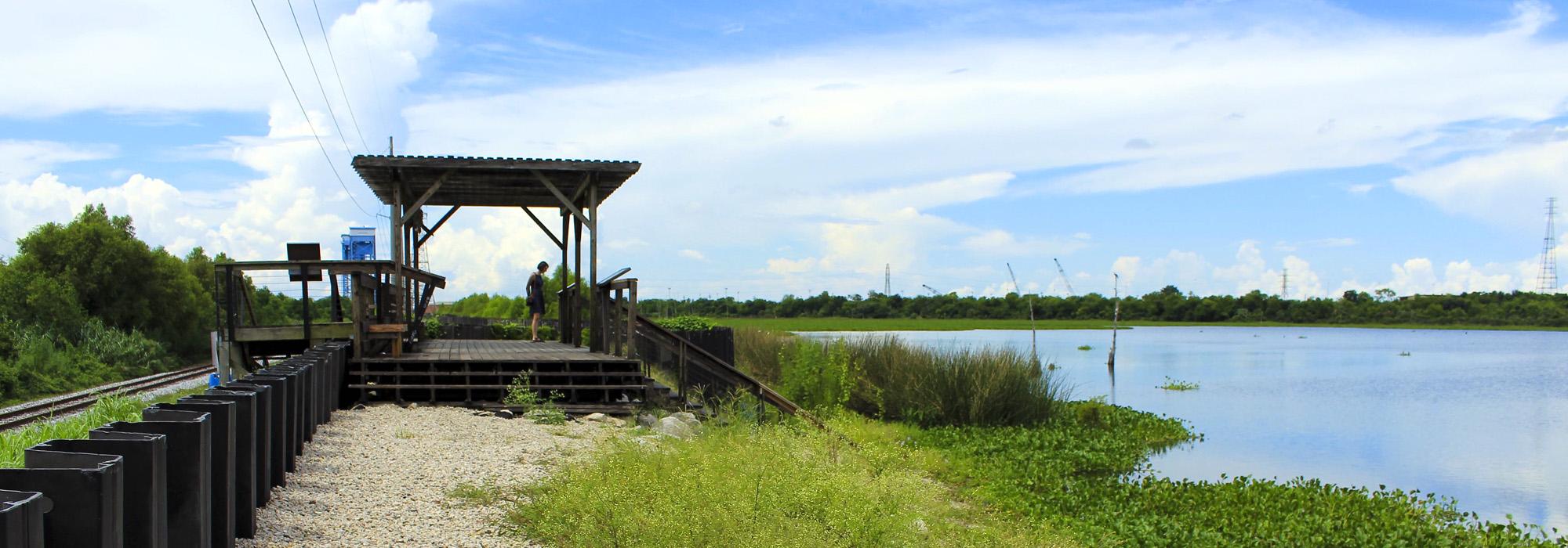
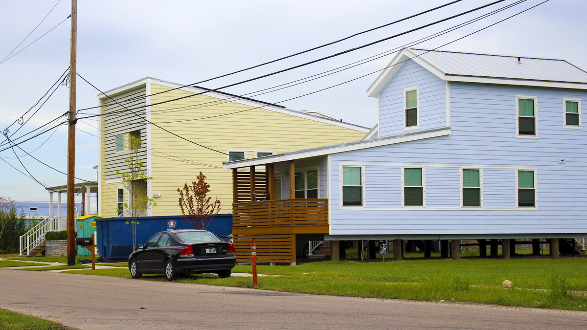
Located on the eastern periphery of Orleans parish, the once sparsely populated land downriver from Franklin Avenue was officially designated the Ninth Ward in 1852. The district comprised two distinct ecological zones: the high hardwood forest located along the natural levee of the Mississippi River and the cypress swamp extending north toward Lake Pontchartrain. The Lower Ninth Ward stretches from St. Claude Avenue north to Florida Avenue and occupies swampy land forming the parish’s eastern border. Much of the area remained a swamp until the early twentieth century, while its higher southern neighbor, Holy Cross, had been divided into sugarcane plantations during the colonial era. The construction of the Industrial Canal in the early 1920s physically divided the Ninth Ward into two sections, further isolating the downriver Lower Ninth Ward. Even after its draining and development, the Lower Ninth retained an almost rural, small-town character distinct from the other neighborhoods of the city. It was first populated primarily by African Americans and immigrants who could not afford to live in the older, higher parts of the city. This community-oriented character is reflected in the prominent front porches that serve as the primary gathering places in a neighborhood where there are few public open spaces. During Hurricane Katrina, critical levee breaks, powerful storm surges, and the naturally low elevation proved devastating to the community, which experienced a painfully slow recovery relative to other parts of the city.
New Orleans,
LA
United States
Lower Ninth Ward


Related Content
- Image