Landscape Information
This rectangular, two-block, 5.6-acre park is located in the Carrollton neighborhood of New Orleans on the site of the former McCarty plantation, the parcel of land purchased in 1831 that became the village of Carrollton. In 1833, a German architect, engineer, surveyor, and mapmaker named Charles Zimpel was hired to map New Orleans, arranging lots around Hamilton, Green, and Frederick Squares. Hamilton Square first became a public park in 1861, being renamed Palmer Park for Dr. Benjamin M. Palmer, a proponent of southern secession, in 1902. The park resisted racial integration into the 1970s, and in 1977, the park became a part of the city’s park and parkways system. More recently, its name has become a subject of controversy.
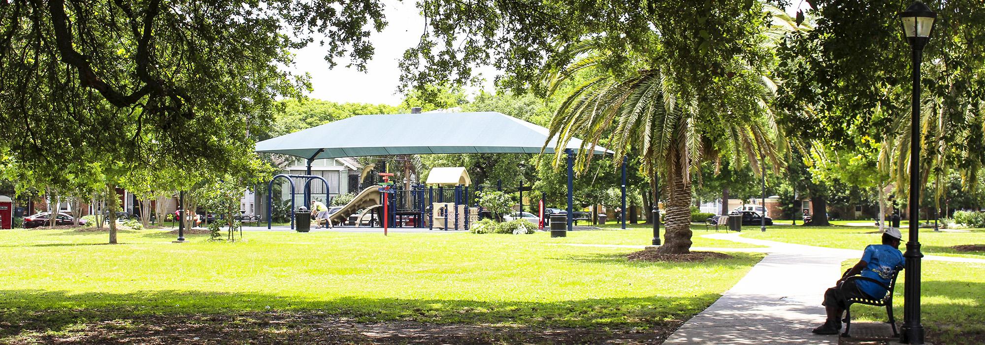
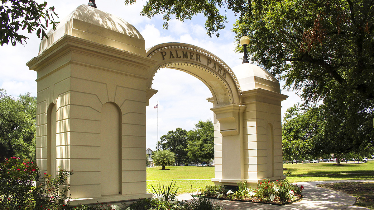
The park’s development was slow, partially because of the surrounding community’s objection to recreational equipment and fear of inviting miscreants and city children into the neighborhood. In 1910, fill dirt from the improvement of Carrollton Avenue was moved to the park, and oak trees were planted. The Palmer Arch, which marks the entrance to the park on its eastern boundary, was built in 1912. At the center of the park is the Carrollton Centennial Monument, installed in 1945. A concrete path beginning at the arch runs through the center of the park. Concrete paths also radiate from the north and south ends of the stone pavers surrounding the monument, each eventually splitting into two separate paths leading towards the park’s east and west boundaries. The park mainly consists of open green space bordered by trees. In 2011, a covered playground was constructed at the southern end of the park, and art by local children and artists was introduced.